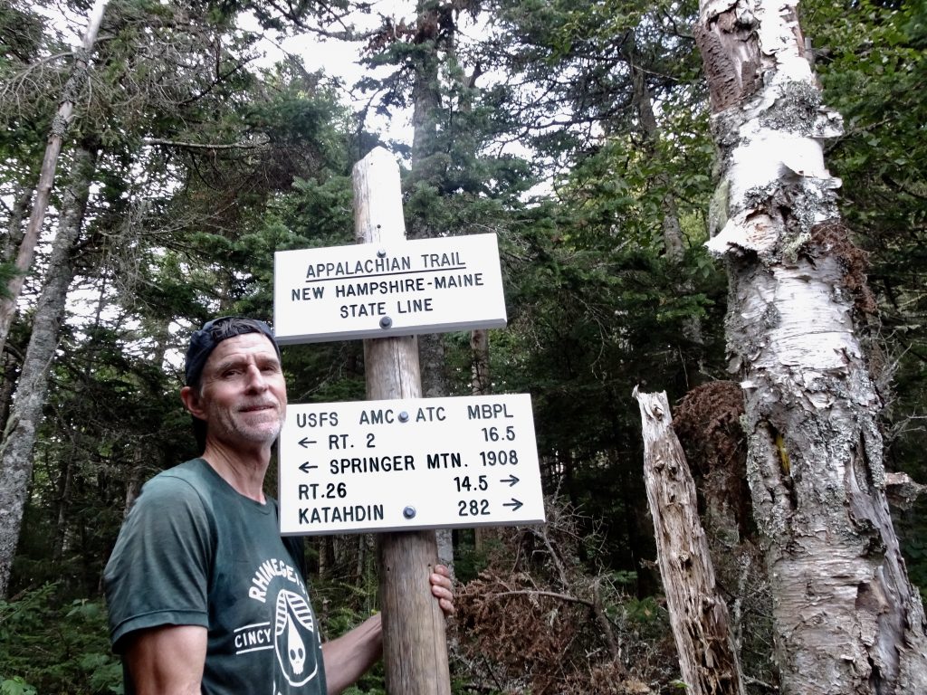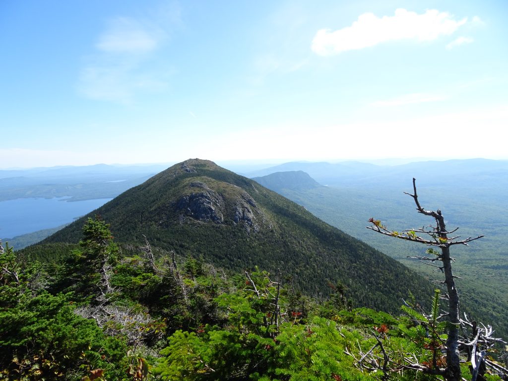
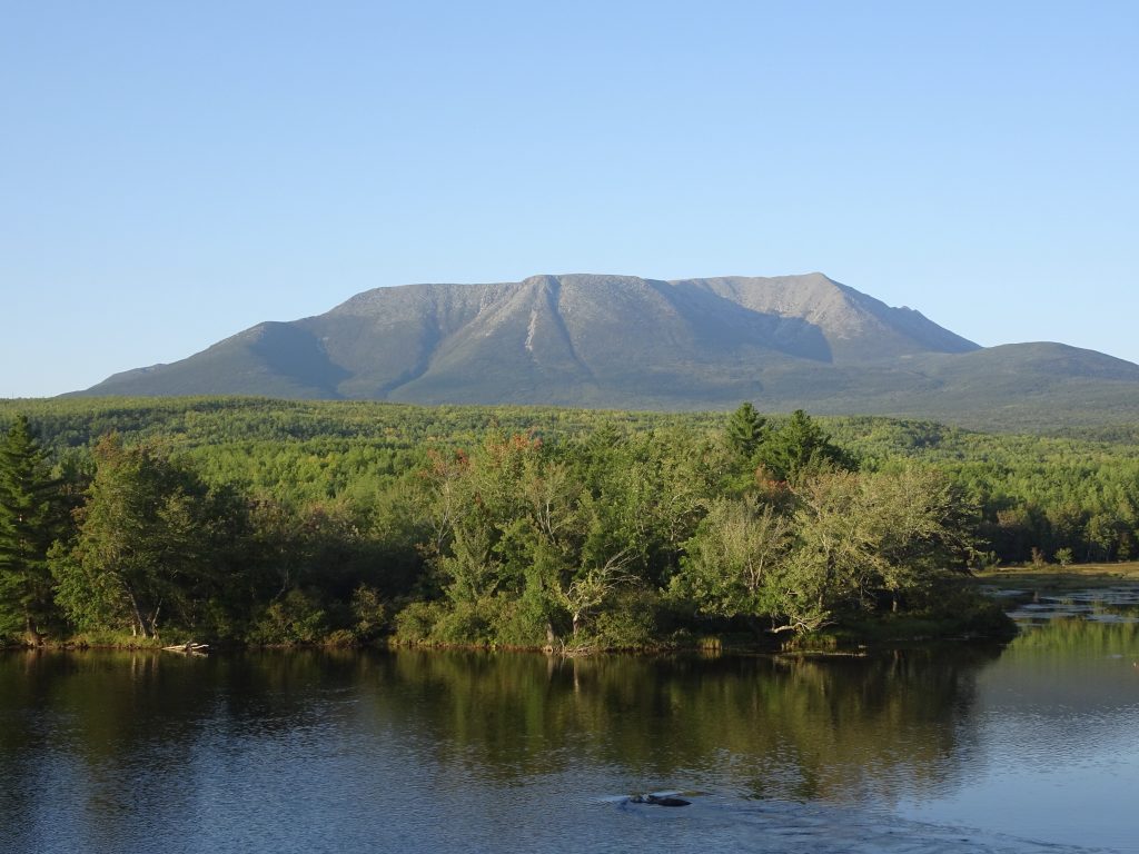
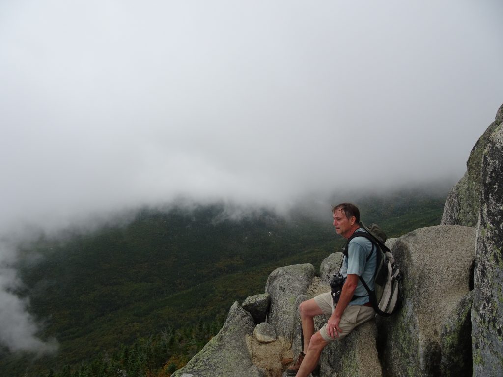
Katahdin is a behemoth of a mountain. You get several glimpses of it along the trail, but it is not until the AT crosses Abol Bridge that you see it in all its glory. Rather than being buried in the middle of a mountain range, this tower of granite rises right out of the flatland.
Mount Katahdin
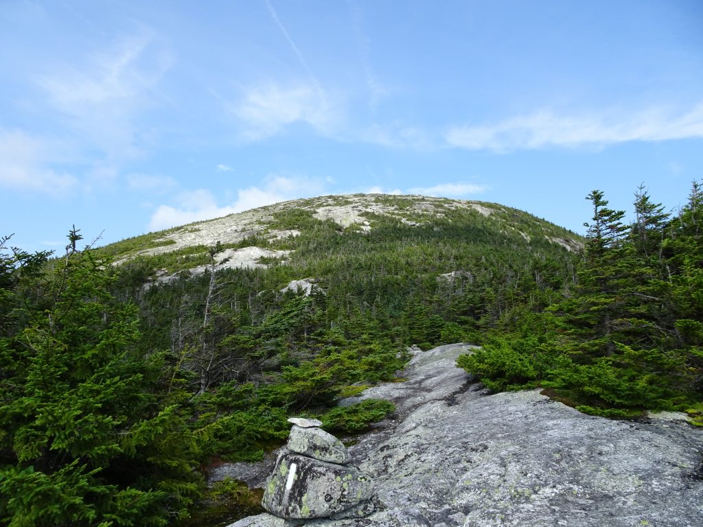
Mount Katahdin is actually composed of several peaks, the tallest being Baxter Peak, at 5,267 feet elevation. This is the tallest mountain in Maine and also serves as the northern terminus of the Appalachian Trail. We owe the wild, unspoiled state of the mountain to a man named Percival Baxter. Percival was apparently not a fan of the auto road and hamburger stand on top of New Hampshire’s Mount Washington. When he deeded the 9-square mile land parcel containing Mount Katahdin to the State of Maine, he stipulated that the land “shall forever be used for public park and recreational purposes, shall be forever left in the natural wild state, shall forever be kept as a sanctuary for wild beasts and birds, that no road or ways for motor vehicles shall hereafter ever be constructed thereon or therein.” Amen to that. Distrustful of government management, Baxter fought to keep the land out of the hands of the feds (as a national park) as well as Maine’s Department of Conservation that administrates the other state parks in Maine. Today, the mountain is the centerpiece of Baxter State Park which is managed independently by the Baxter State Park Authority.
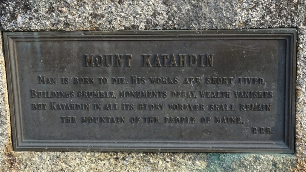
Plaque at the base of Mount Katahdin in Baxter State Park
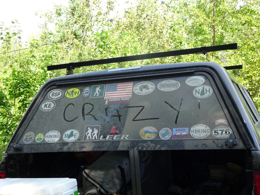
The Baxter State Park Authority completely runs the show in the park. A few years back, thru hikers were getting out of hand on Katahdin, for example, carting alcohol to the summit and having “celebrations”. The Park Authority has since made it clear to the thru hiker community and the Appalachian Trail Conservancy, that thru hikers need to clean up their act and respect the mountain, (considered to be sacred ground by Native Americans,) or they can find a new terminus for the AT. In nearly every hostel and other hiker venue up and down the trail, there are posters reminding thru hikers to be respectful on Katahdin. I consider it a privilege to hike this mountain, so I take no issue with the Park Authority’s stance. I found the park rangers in Baxter to be extremely courteous and helpful.
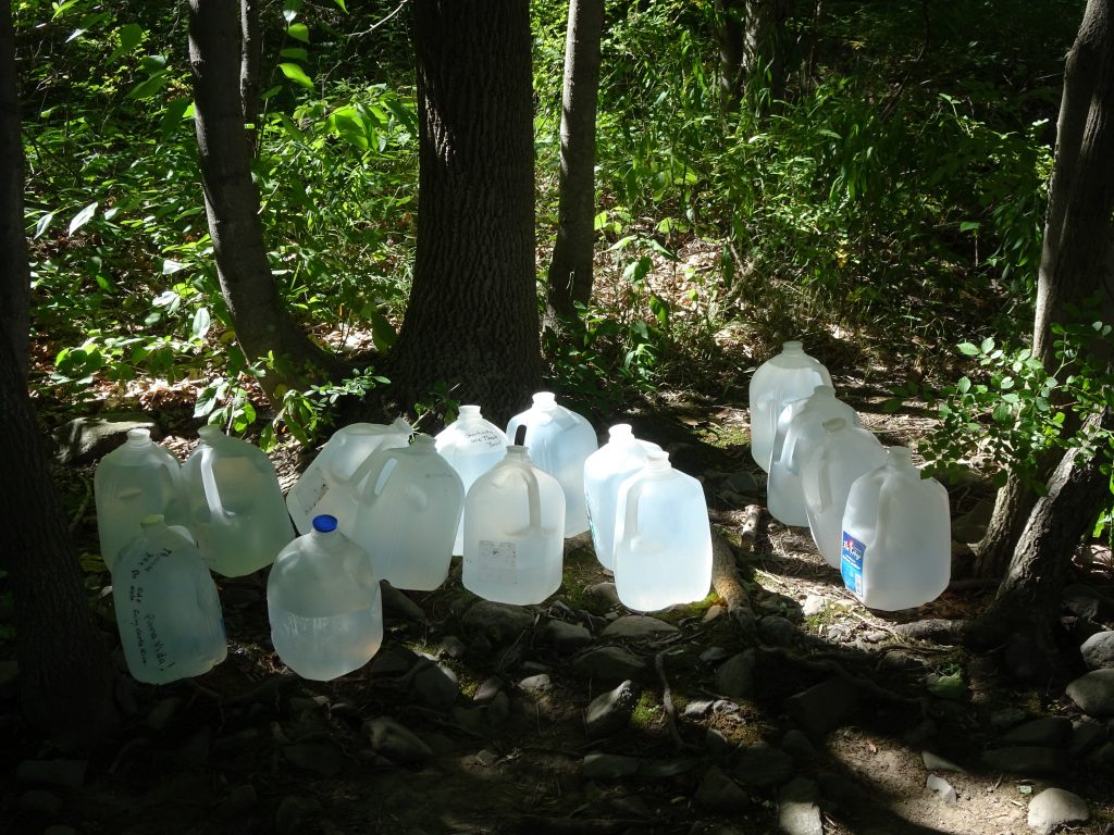
The final hurdle before reaching Katahdin is Maine’s 100-Mile Wilderness. This section of trail is a relatively remote section of the AT with limited resupply options. It is possible to pay someone to do a food drop, but I elected to push straight through in five days. It was a little intimidating to arrive at this warning sign, with only five days’ worth of food in my pack.
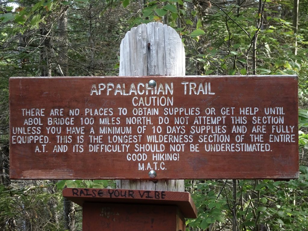
Caution sign at the beginning of the 100-Mile Wilderness
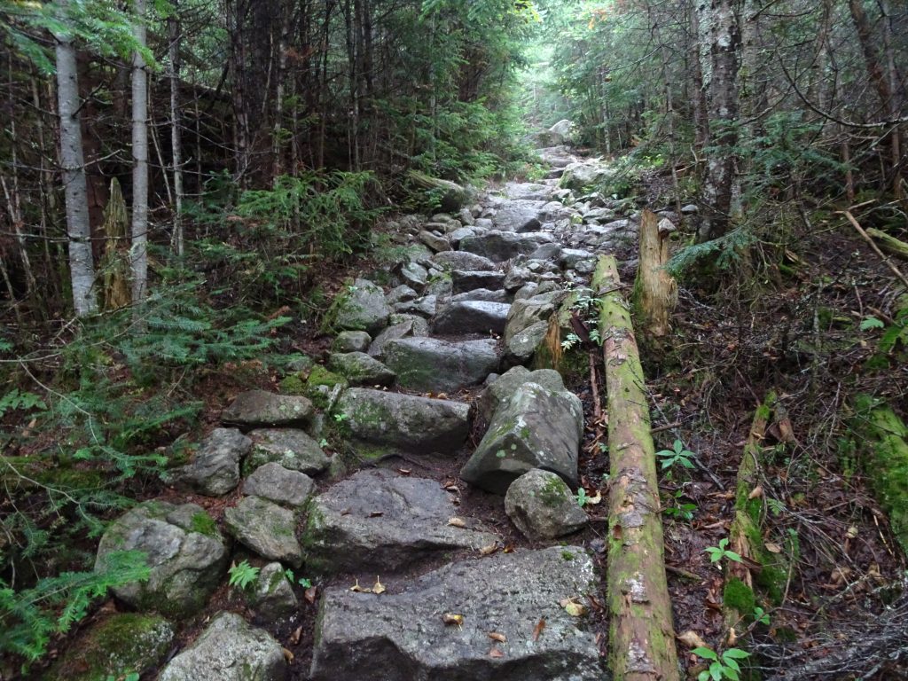
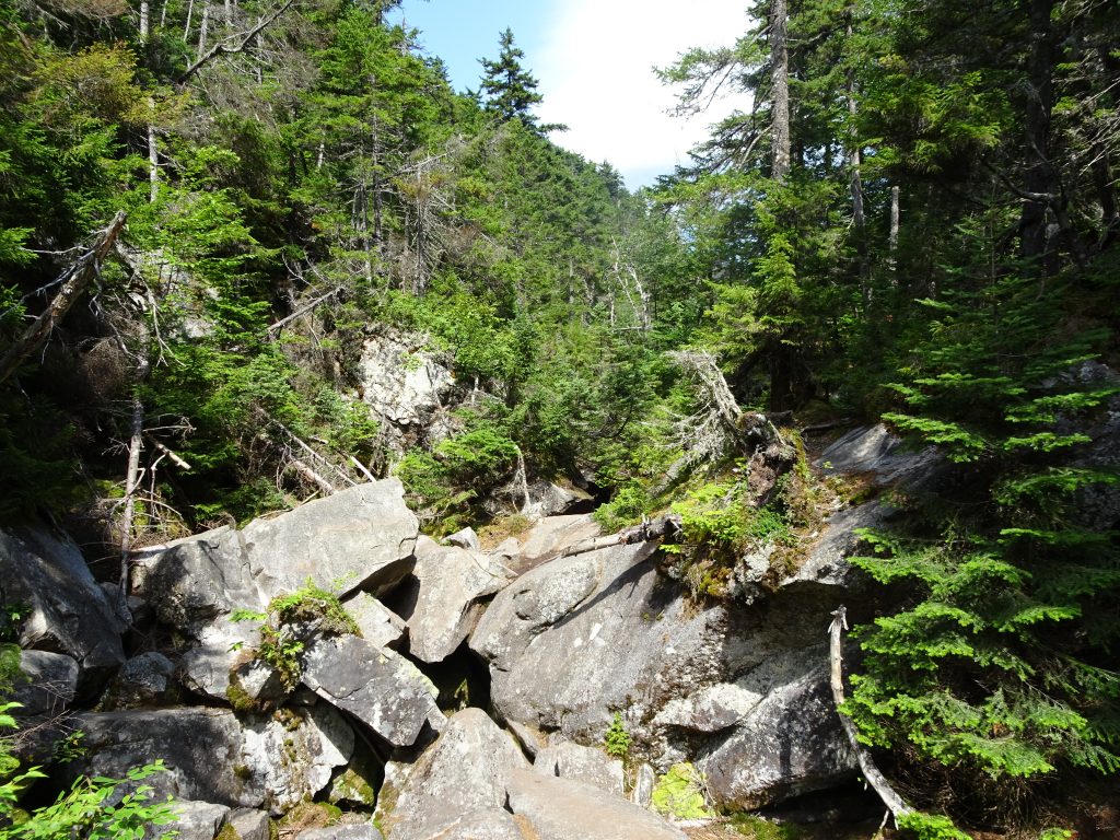
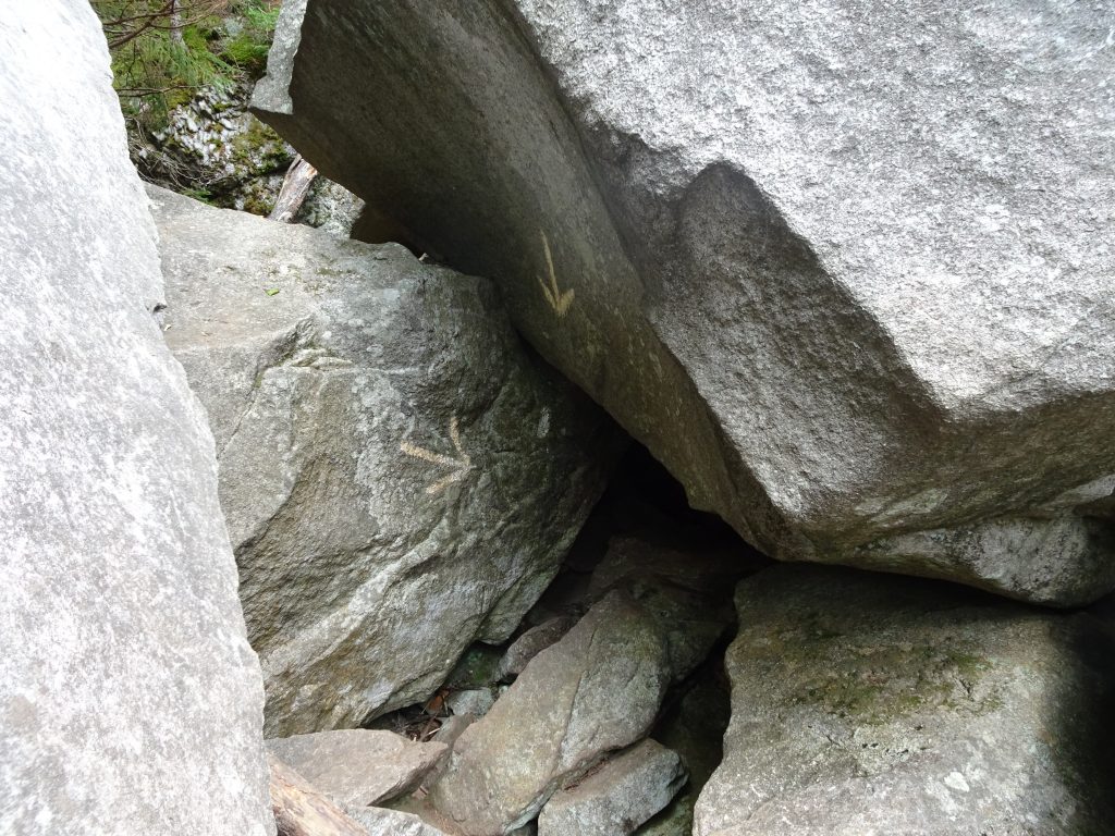
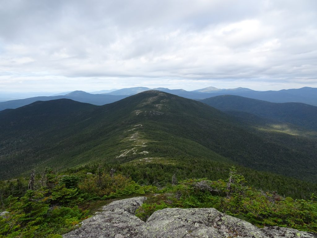
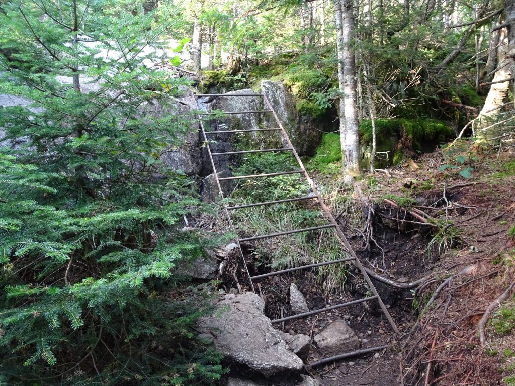
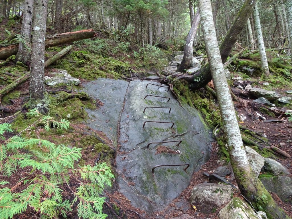
Looking in hindsight, I did underestimate the difficulty to complete this section. As a north-bounder, the narrative you hear is that the Wilderness is relatively flat with only two mountains, Chairback Mountain and White Cap Mountain. Furthermore, you are told that these mountains are “not that tough” and that the southbounders are only complaining about them because they don’t yet have their trail legs. It turns out that Chairback and White Cap are just two of a total of the nine peaks that the AT crosses in the Wilderness’s Central Longfellow Mountain Range. While the elevations were lower (less than 3700 feet), these mountains had some steep, technical climbs. I successfully pushed through in five days, but it was a long slog. I started every day early and, on three out of the five days, finished my day’s hike using my headlamp.
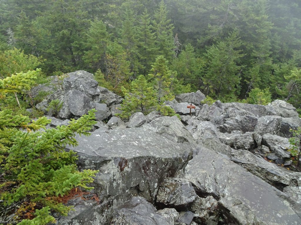
Rocky, technical descent in the Central Longfellow Mountains
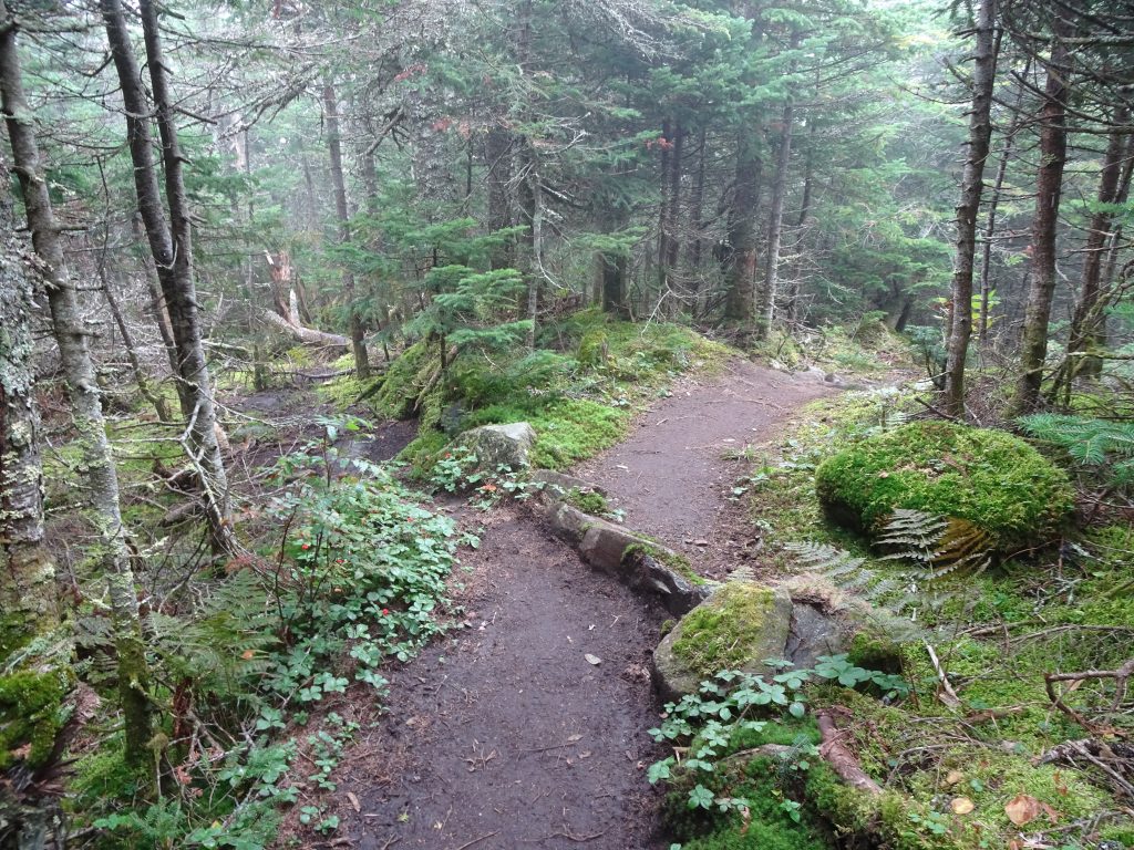
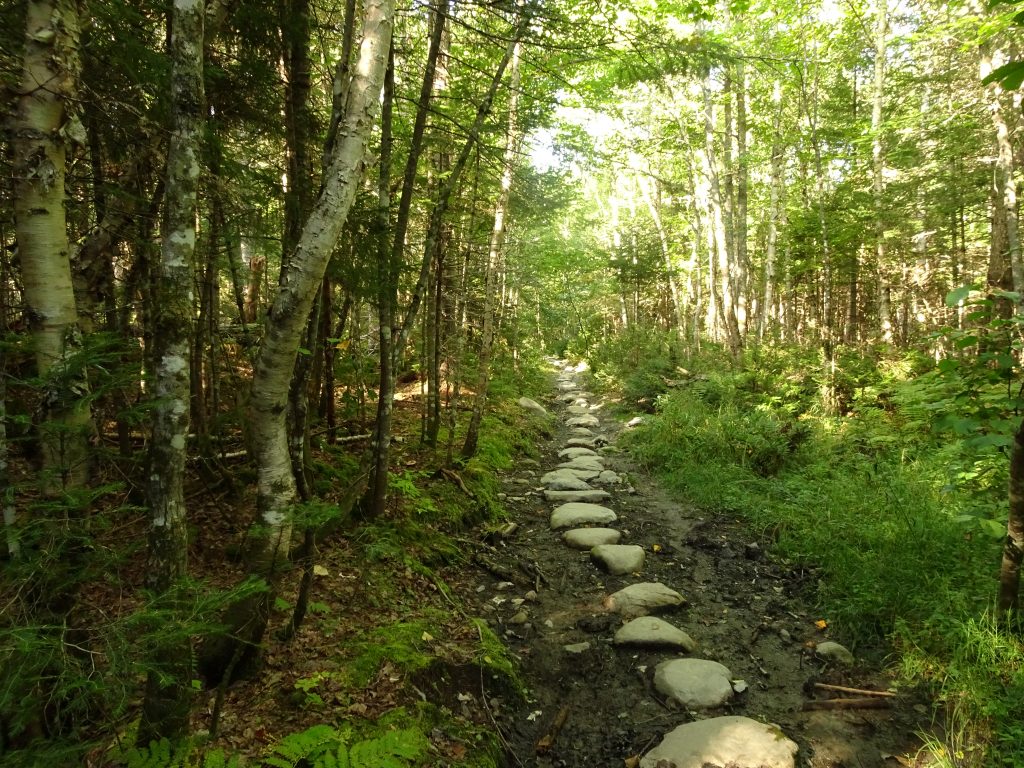
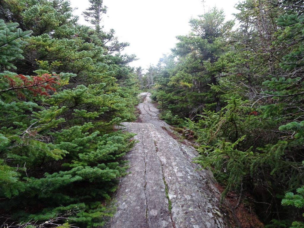
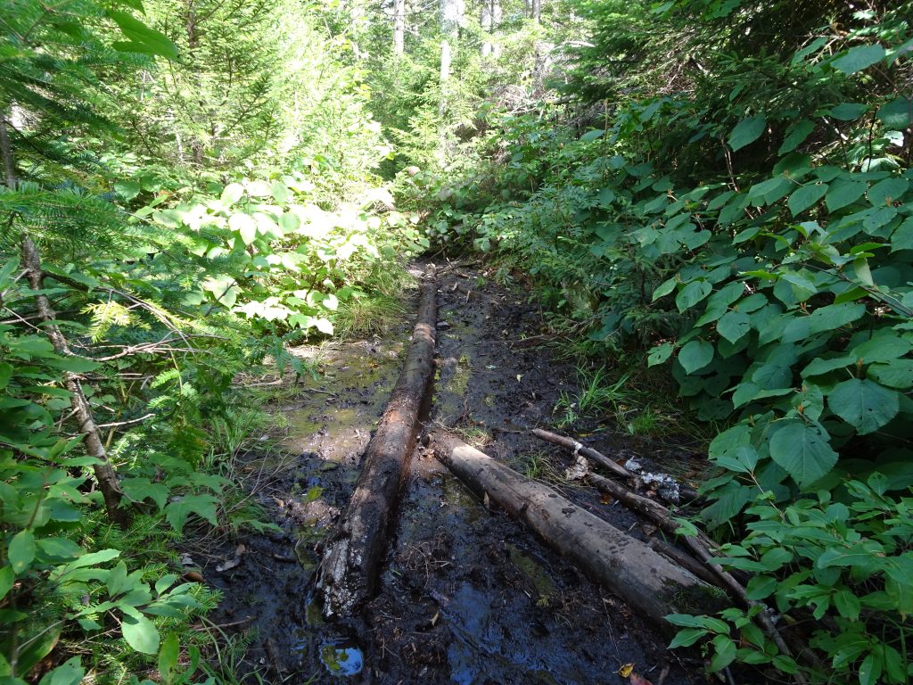
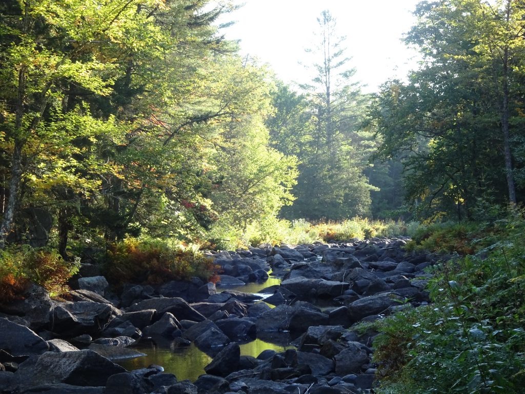
After the first fifty miles of the 100-Mile Wilderness, the remainder really is flat, featuring an abundance of streams, swamps, ponds, and lakes. Some of the flat sections were gloriously smooth and a dream to hike. Other parts had lots of rocks and roots, so I was never sure which I was going to get.
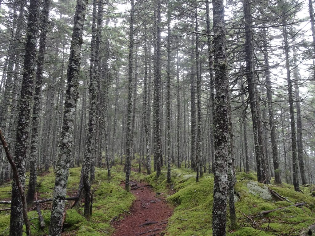
Smooth hiking in the spruce forest
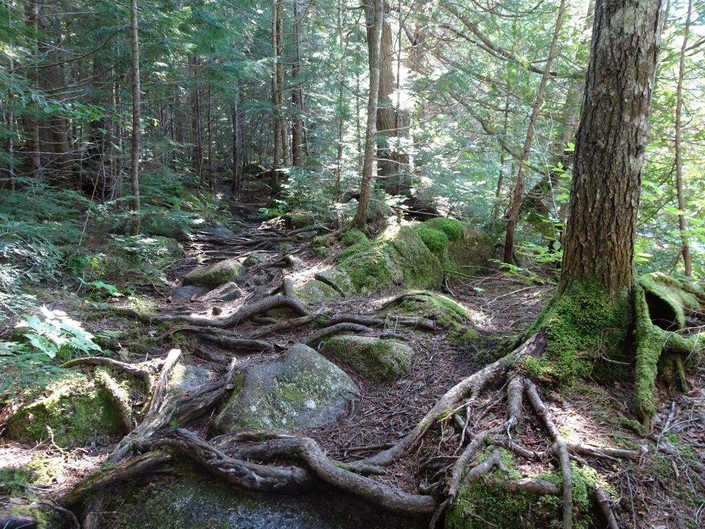
Careful now! Rocks and roots…
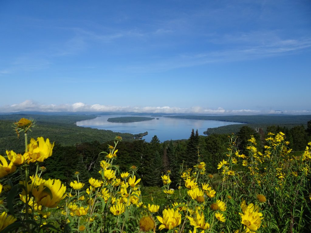
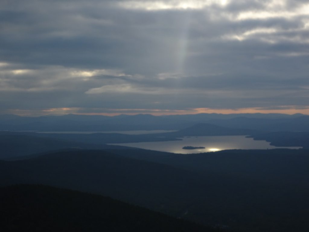
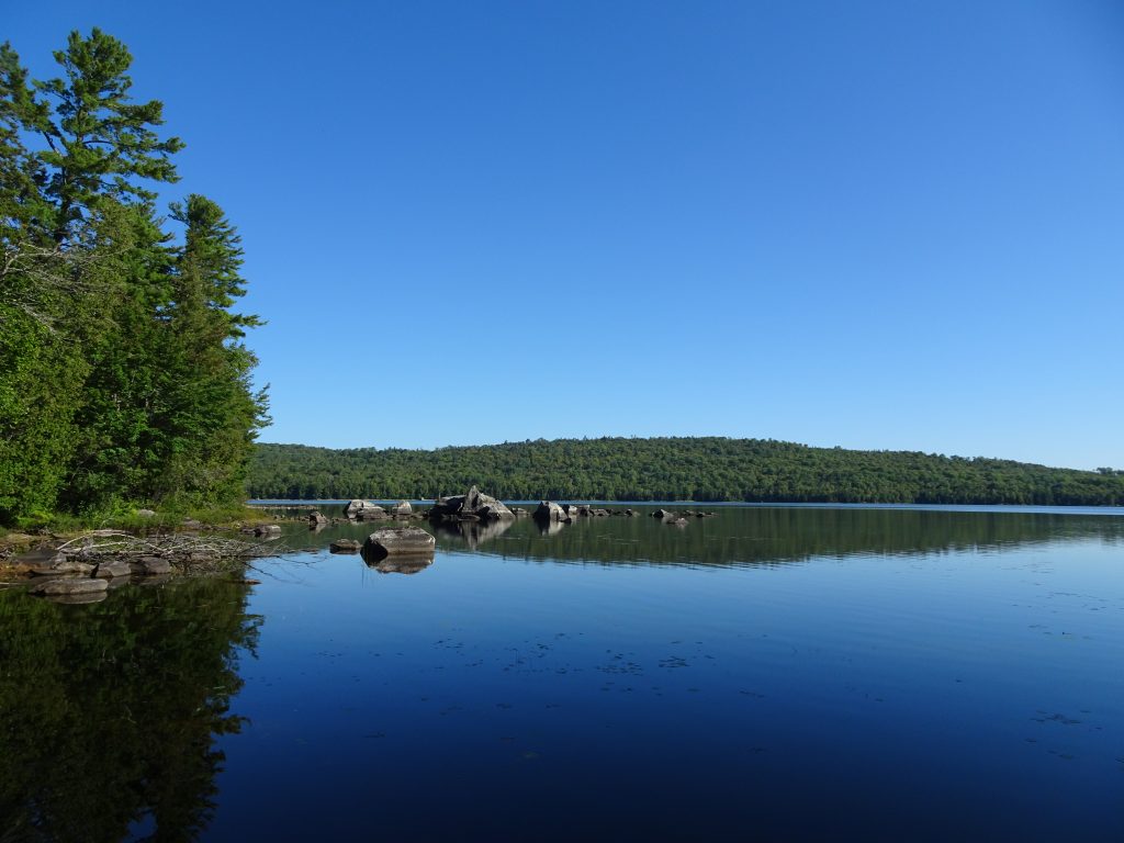
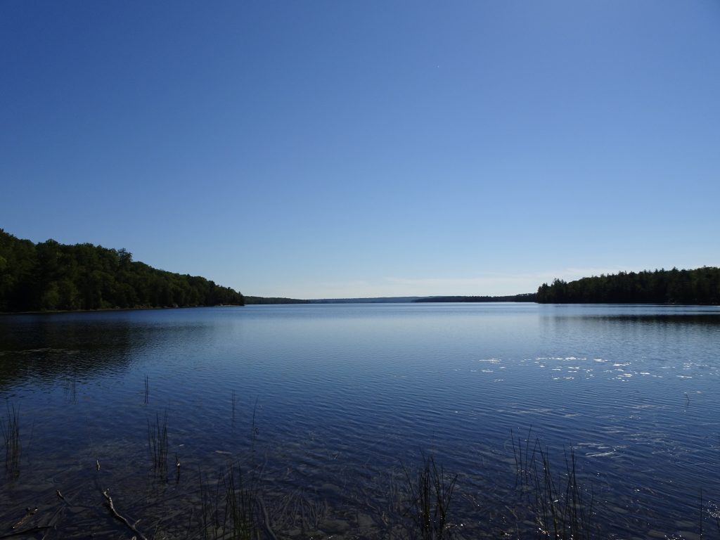
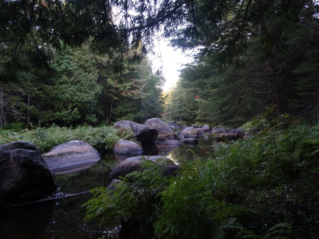
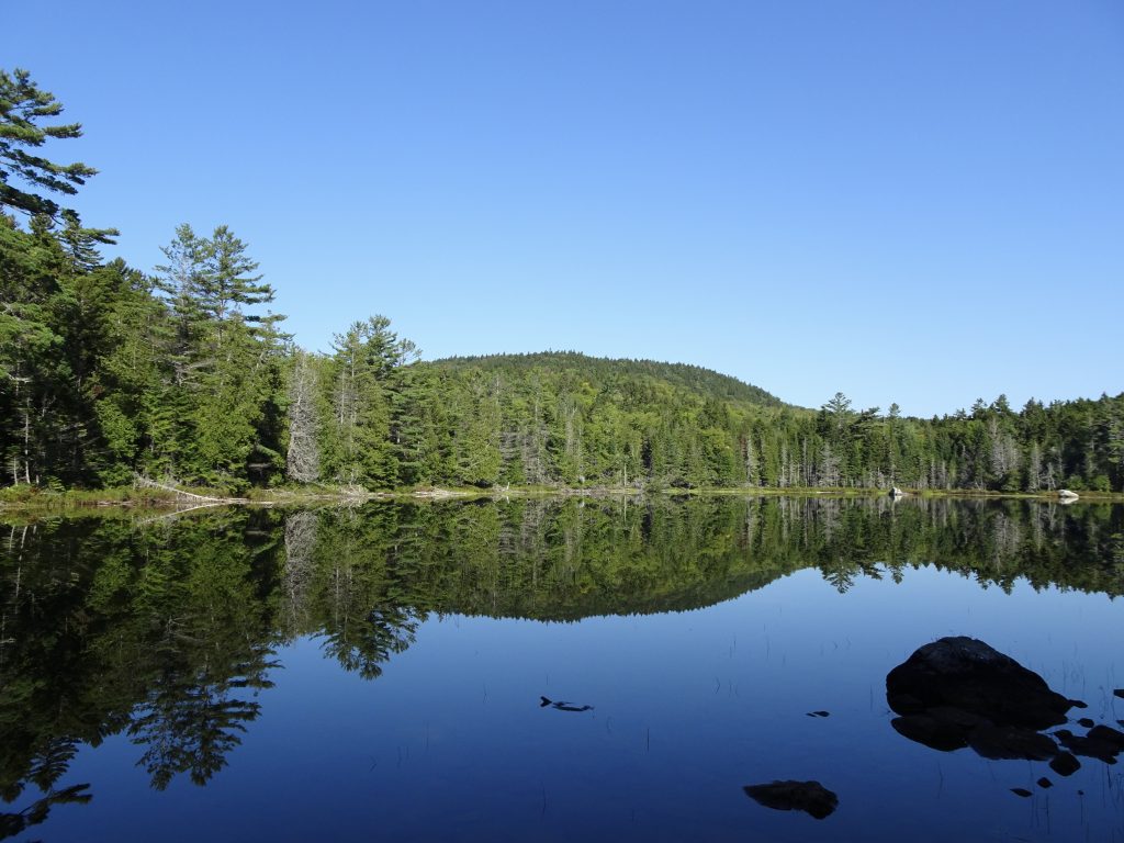
In most of the flat areas of the 100-Mile Wilderness, the trail runs parallel to some water feature. Here is a small sample of the lakes and streams I encountered, the names of which I have mostly forgotten.

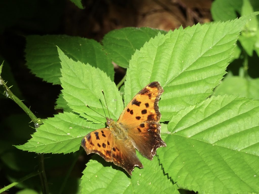
One of the swamps I passed, called Fourth Mountain Bog, contains some unusual and endangered plants. One of these is the carnivorous Purple Pitcher Plant which gets some of its nutrients by capturing insects within its “pitchers”.
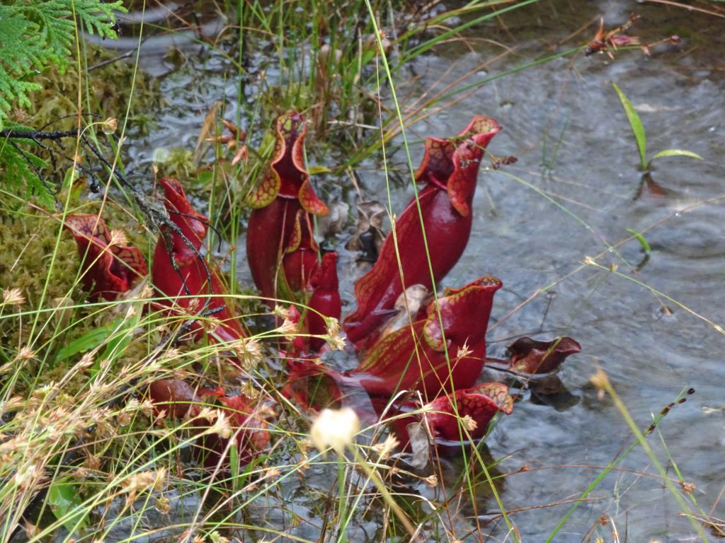
Purple Pitcher Plant
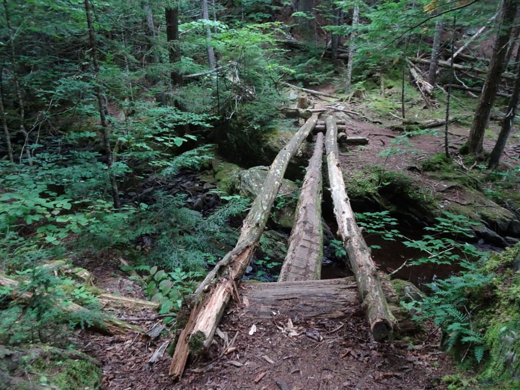
Most of the rivers and streams in the Wilderness do not have bridges. Where it was not possible to cross by “rock-hopping”, it was necessary to ford. In order to maintain dry feet, my technique was to remove my shoes and socks, then cross wearing my crocs. Fortunately, the water levels were low and I never had to ford any water more than knee-depth.
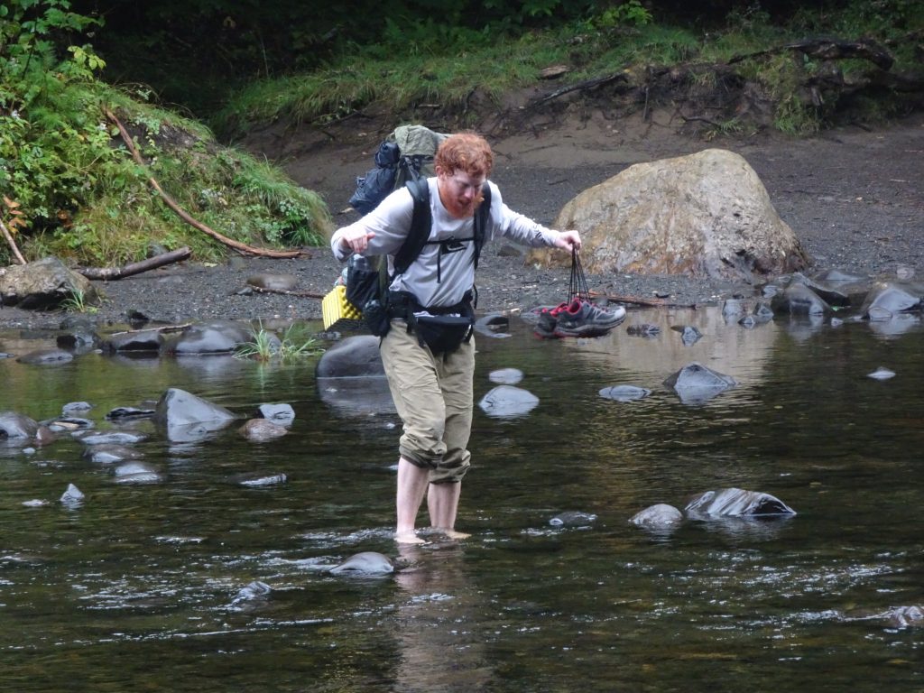
Fellow thru hiker fording a stream
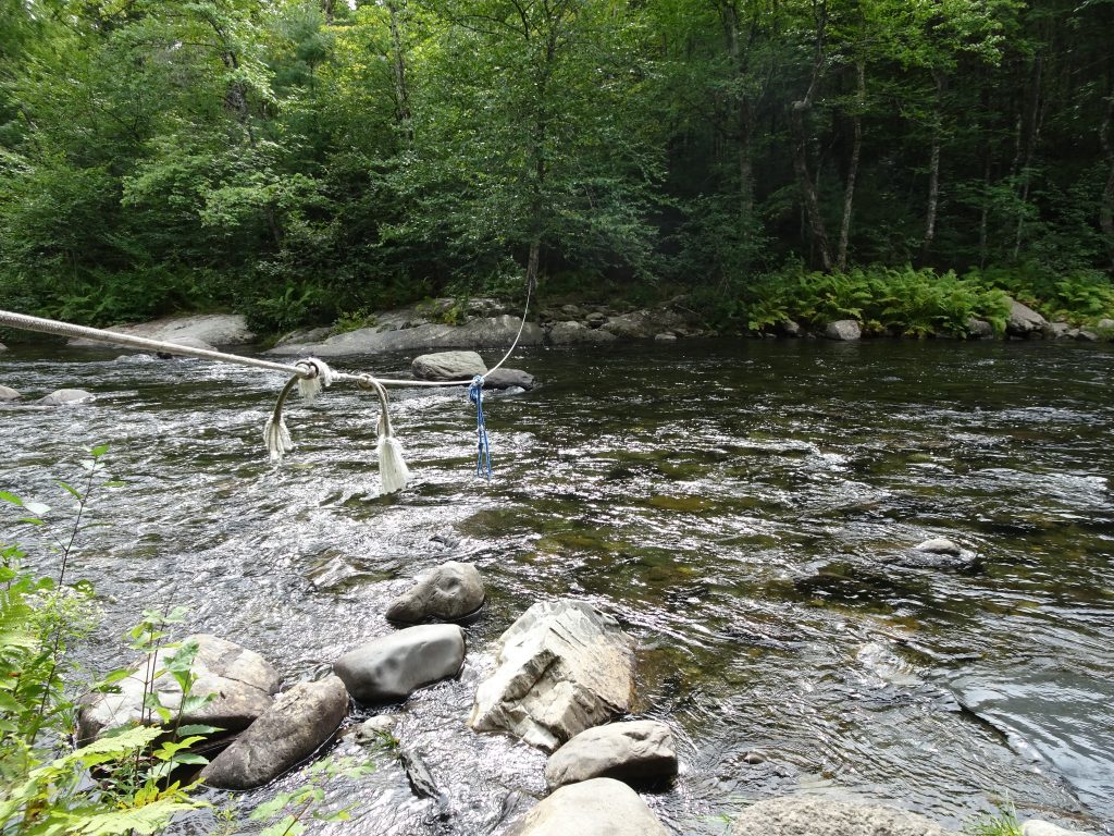
Rope across the ford – Pay no attention to the sketchy knots
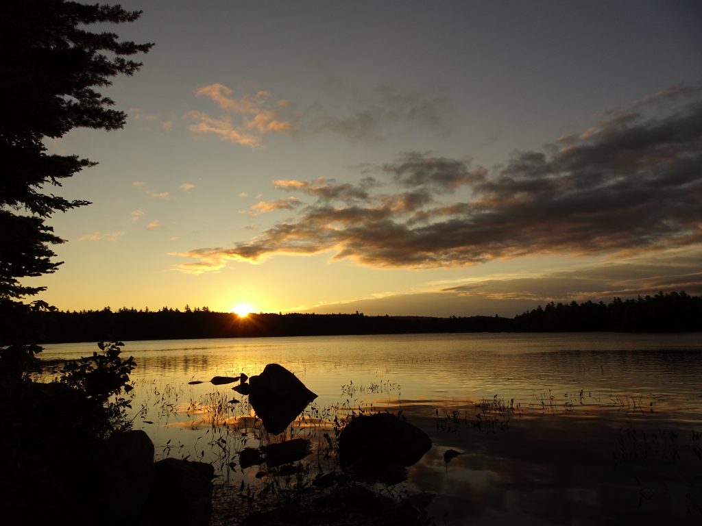
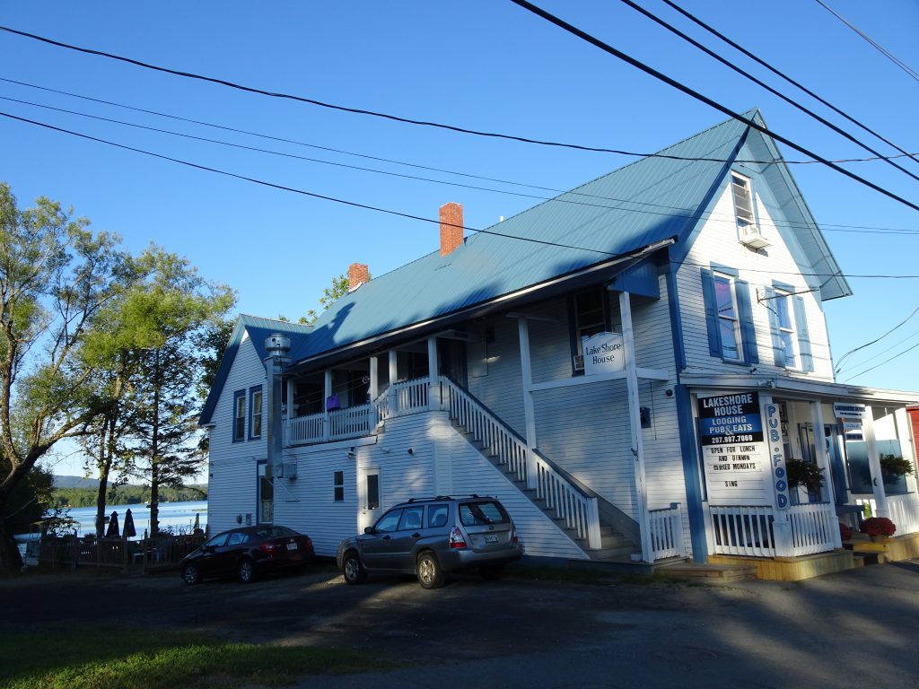
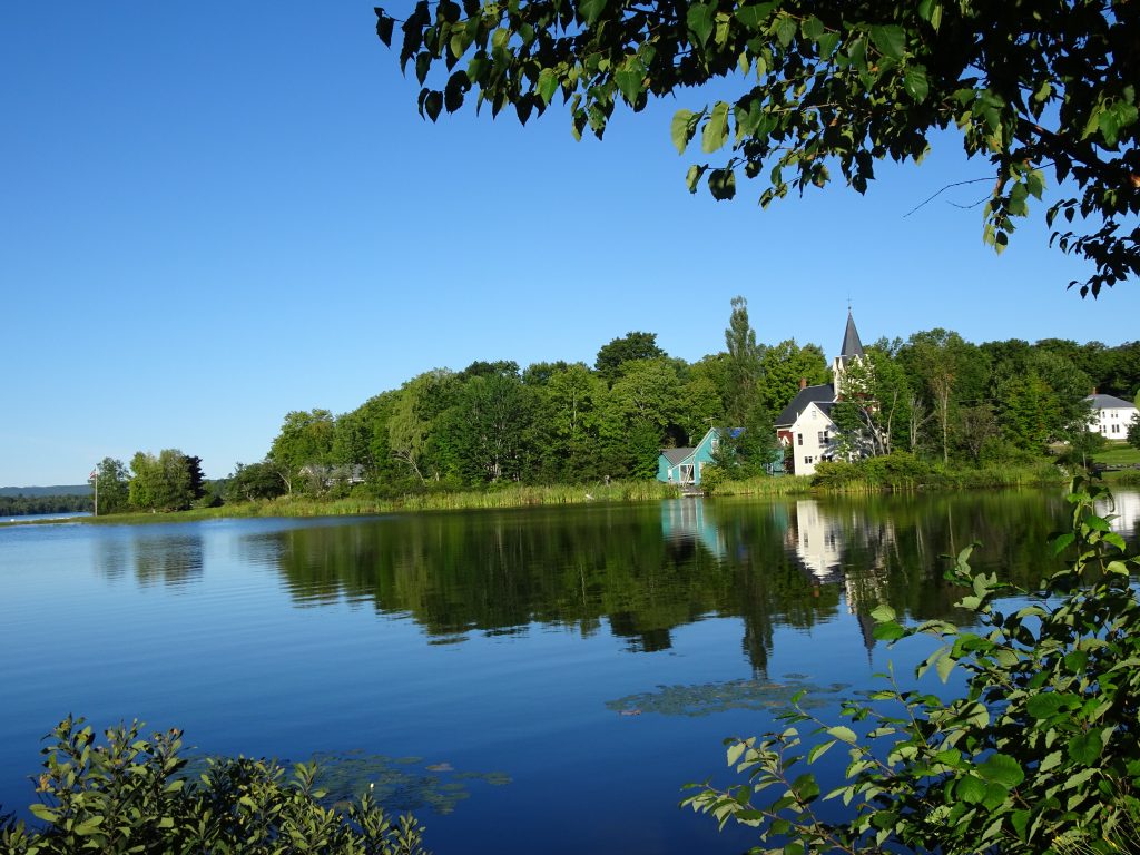
A big incentive to complete the 100-Mile Wilderness was that my brother, Rich, and his wife, Deb were meeting me at the end at Abol Bridge. Rich and Deb had rented a cabin near Baxter State Park, so I would be done camping in the woods. While Deb described the cabin as “rustic”, it sat right on the shore of a lake, and I could not have asked for anything nicer.
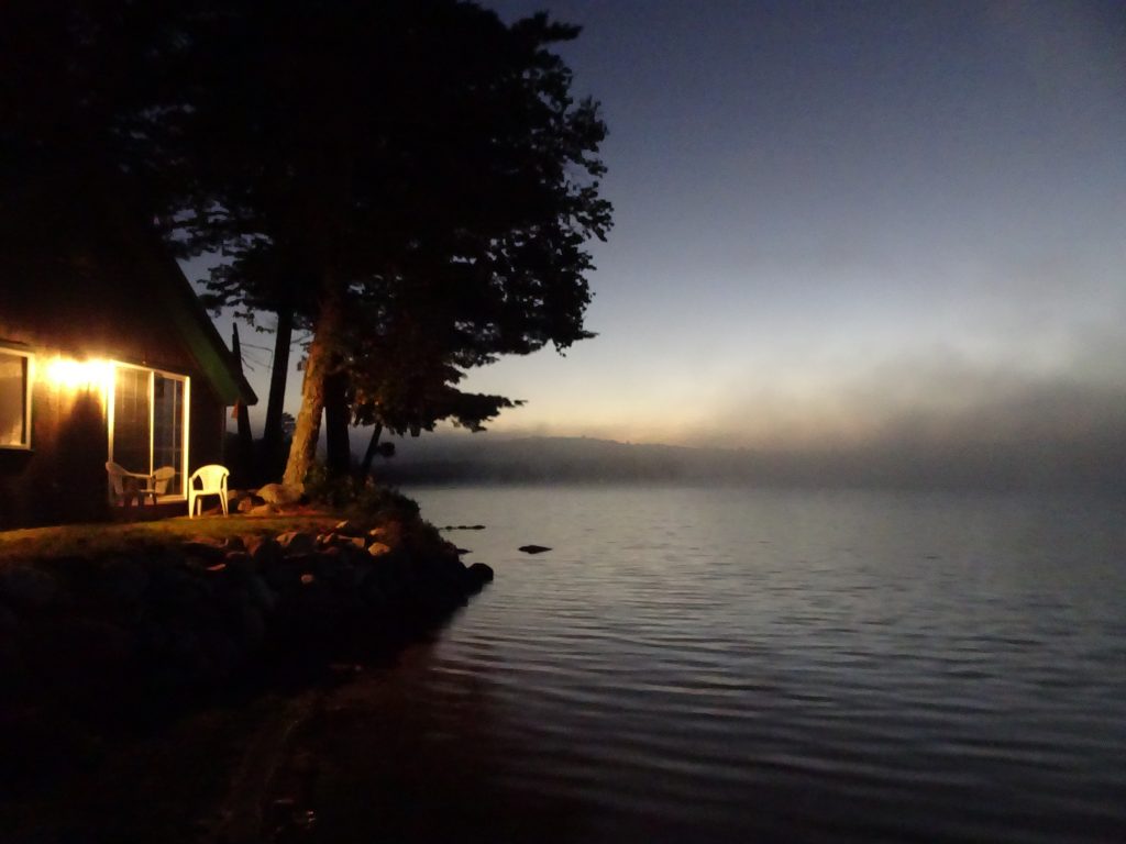
Daybreak at our cabin in Millinocket, ME
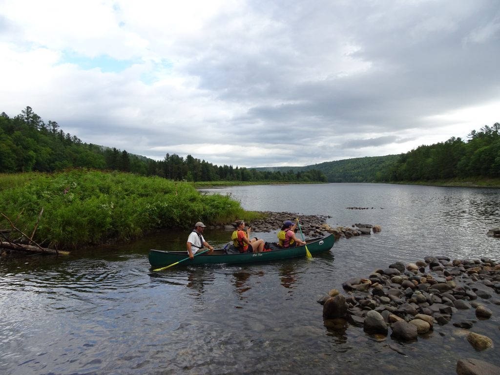
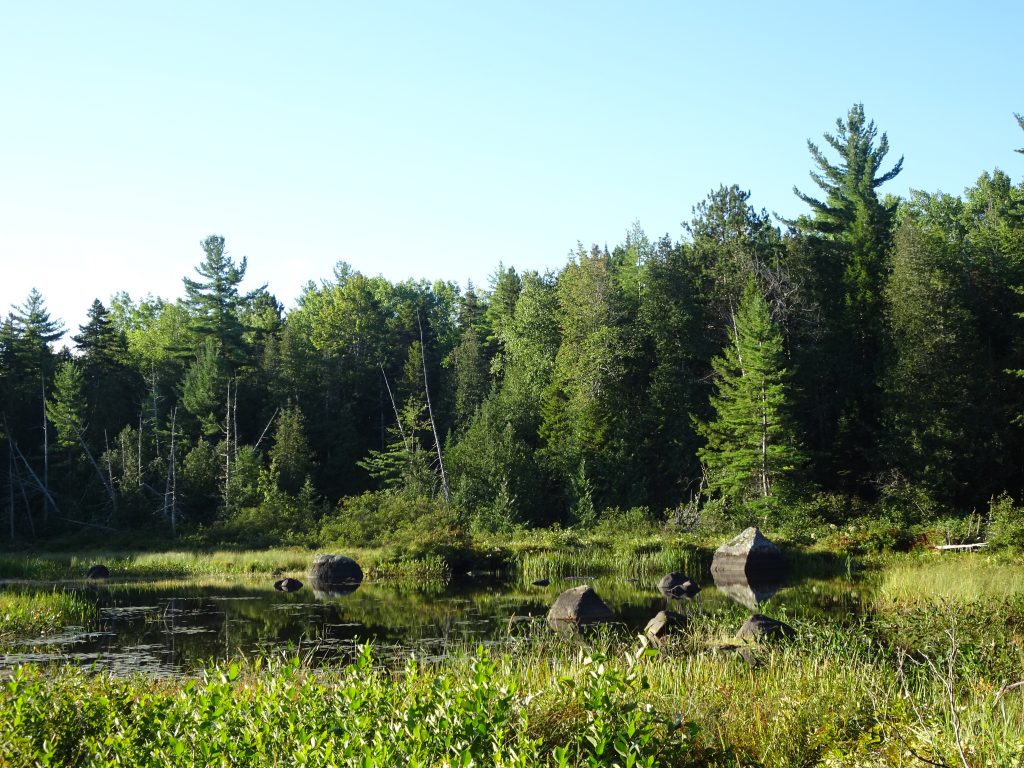
The next day, with Deb serving as our shuttle service, Rich and I hiked the level 10-mile section from Abol Bridge to the foot of Mount Katahdin in Baxter State Park. While enjoying perfect hiking weather, we passed more rivers and ponds, and got to observe some waterfowl.
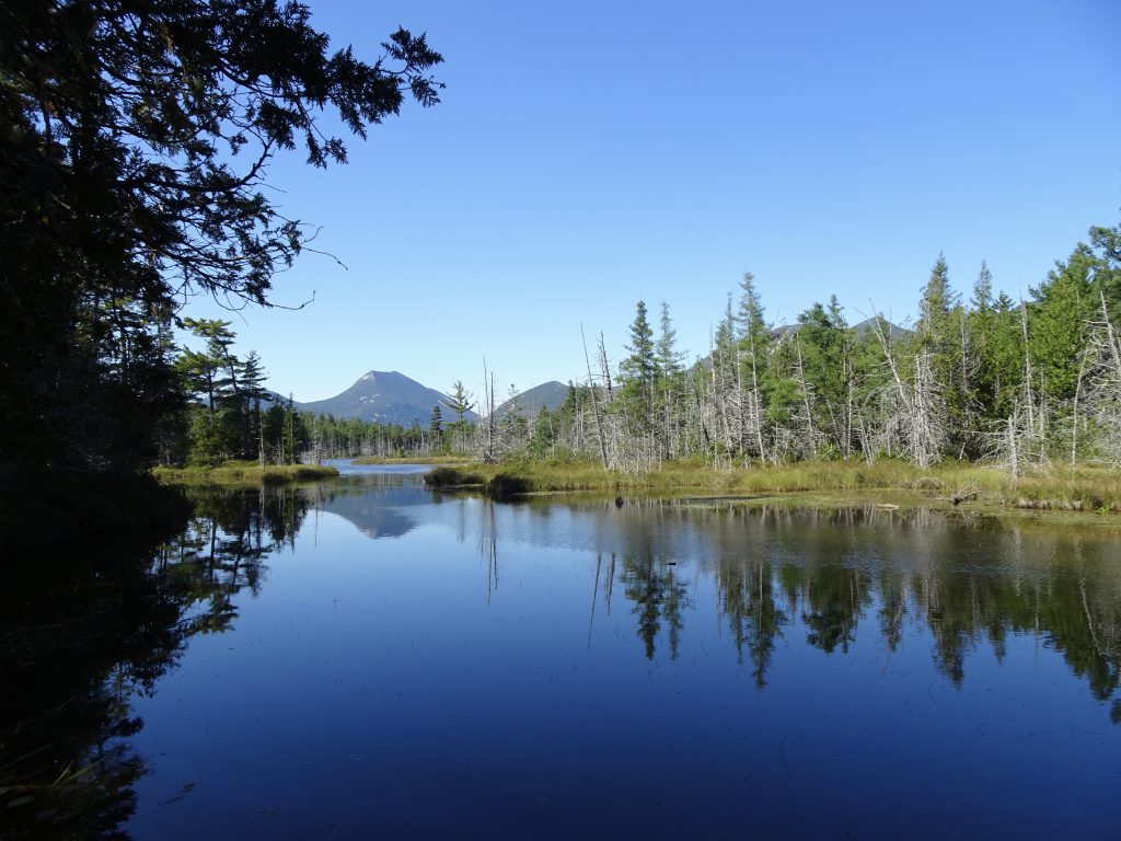
Grassy Pond with Doubletop Mountain in the distance
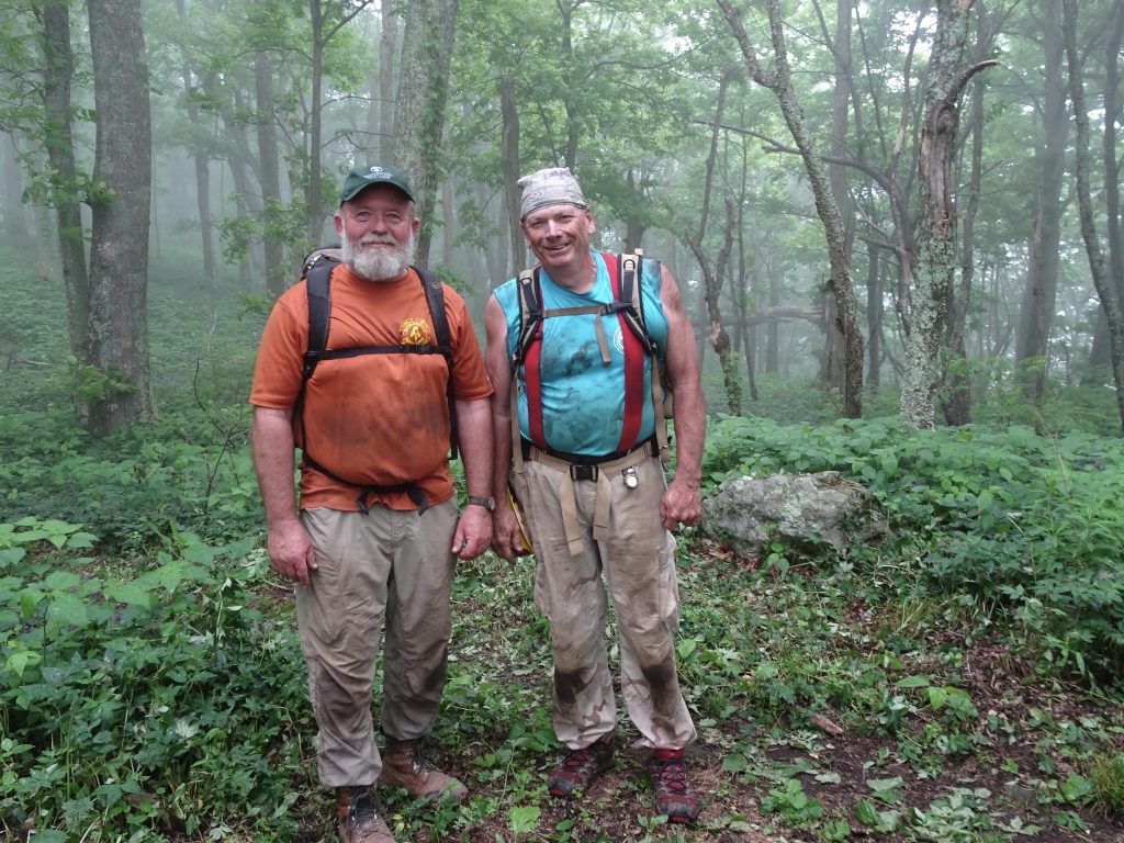
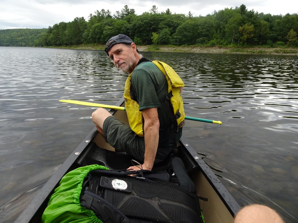
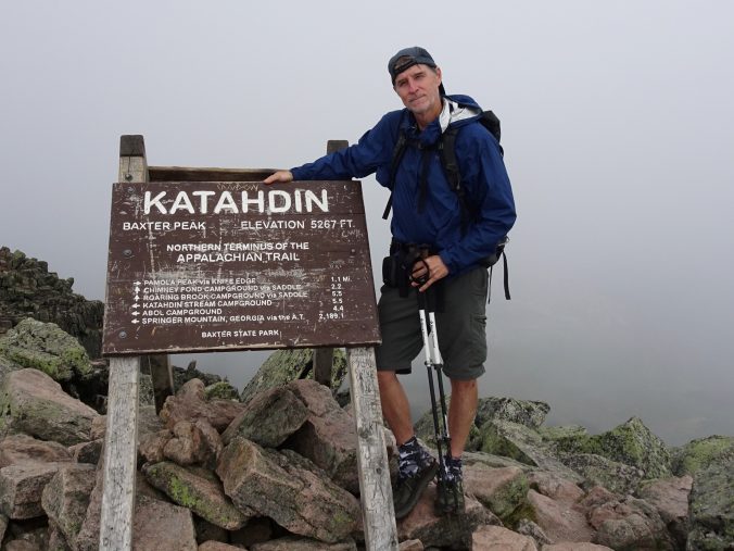
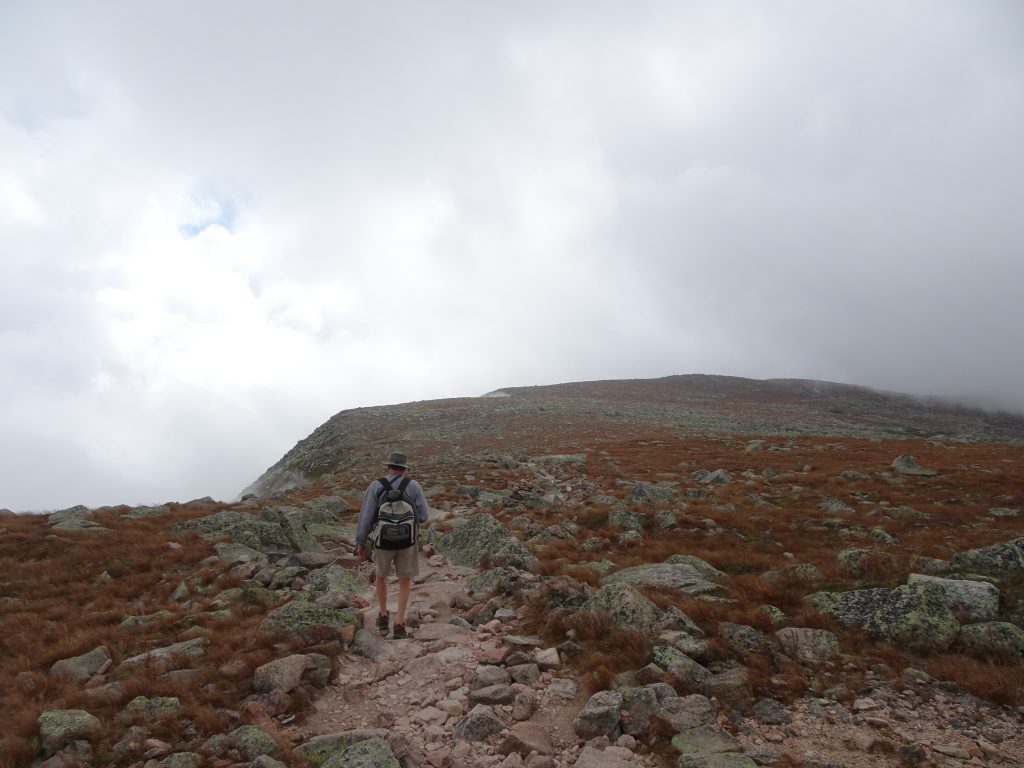
The day had finally arrived to climb Mount Katahdin. This would be the end of my thru hike. I had persuaded Rich to join me for my final climb. Ten years my senior and without his trail legs, Rich was somewhat reluctant, but I told him, “No worries. You’ll be fine.” We got up early and were at the trailhead shortly after sunrise. The weather forecast was good, meaning no chance of storms on the mountain.
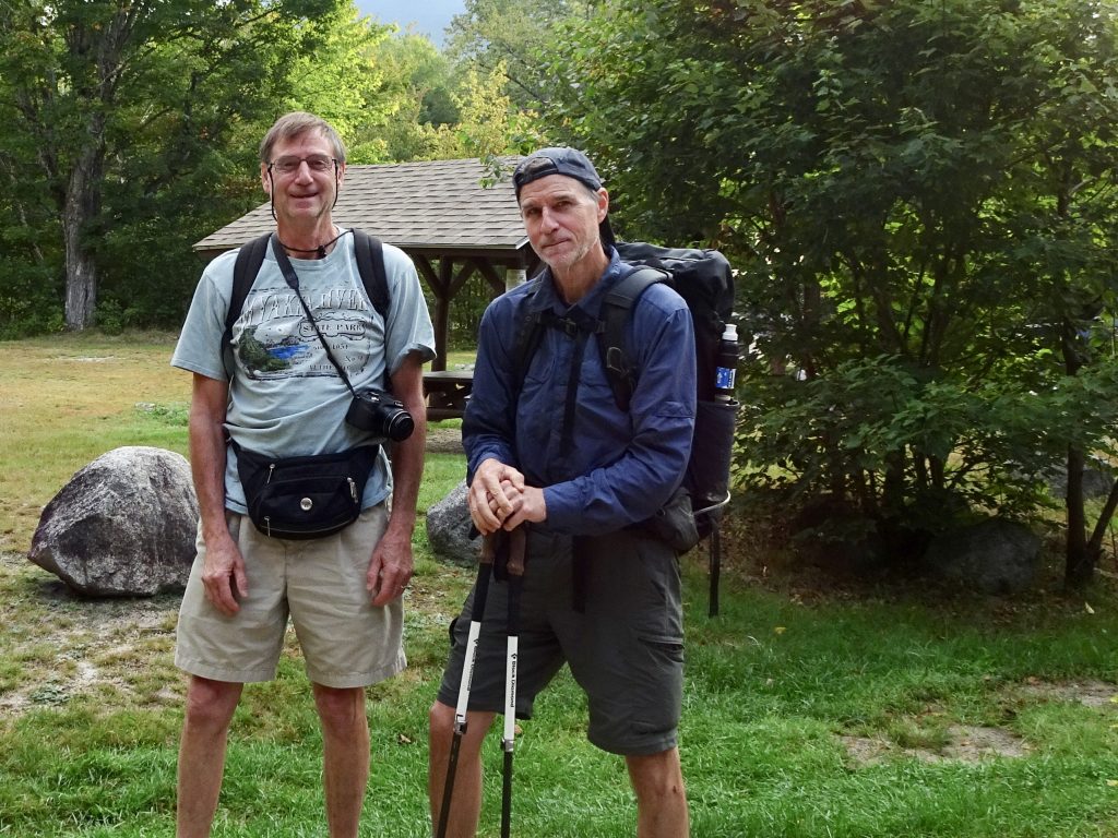
Randy and Rich ready to climb Mount Katahdin
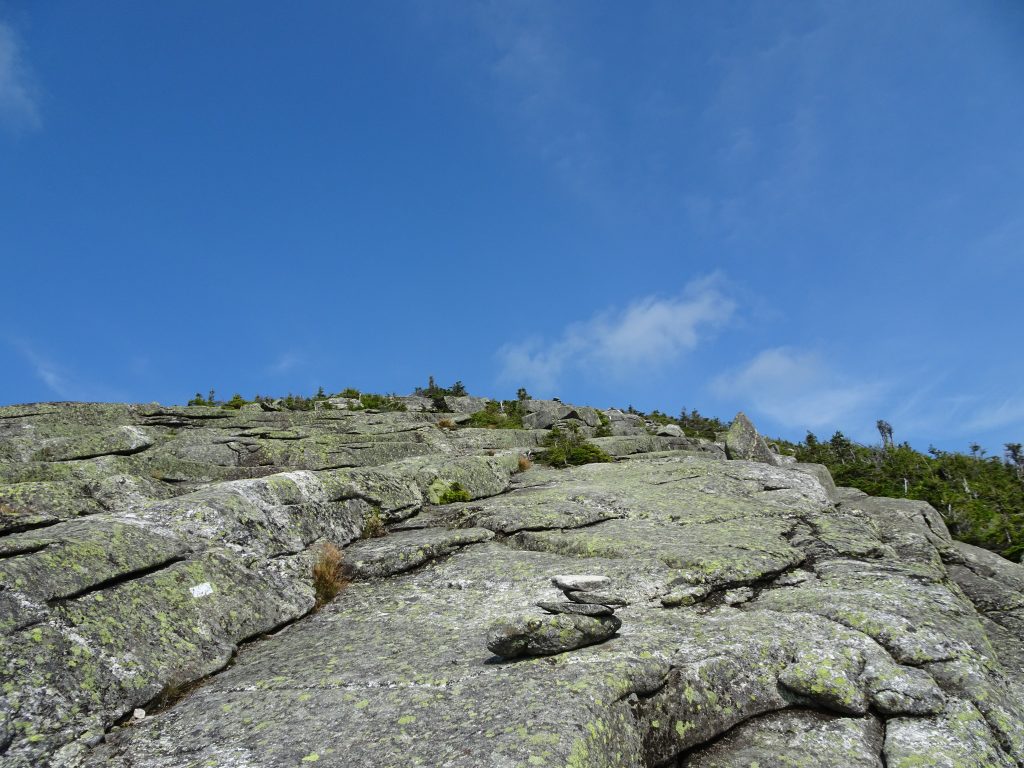
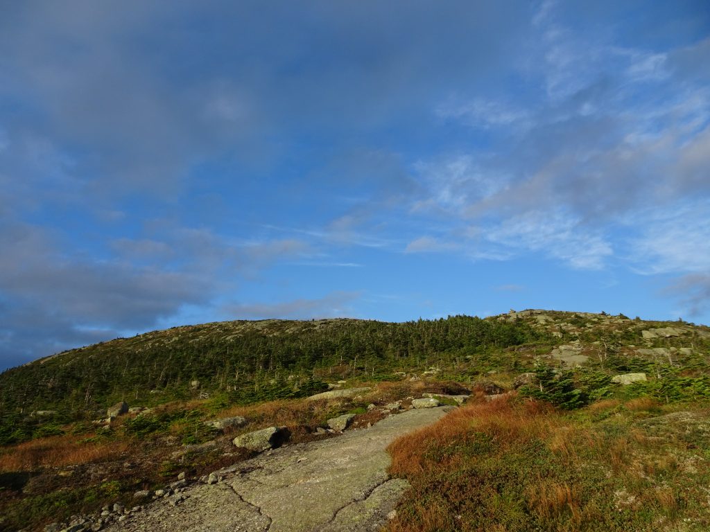
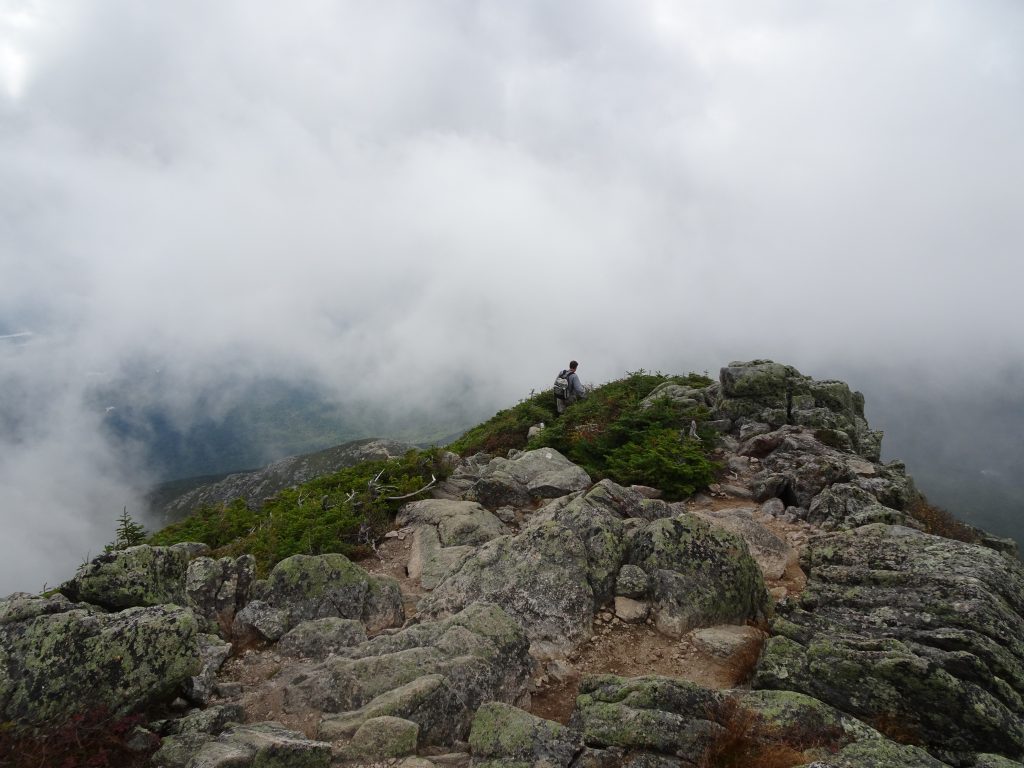
The climb up Katahdin is strenuous, with 4,000 feet of elevation gain. The trail to the top covers five miles, but most of the elevation gain occurs over the middle three miles. We had the good fortune that the mountain was fogged in during our ascent, so we didn’t have to climb with the sun beating down on us. After the gradual first mile of the trail, up we went. By about the twentieth rock scramble or cliff climb, Rich was crying foul, alternately badmouthing the Native Americans who named the mountain, and me for talking him into this endeavor. In truth, my brother did great, although he did say that if the mountain was one foot taller he was not sure he would have made it to the top.
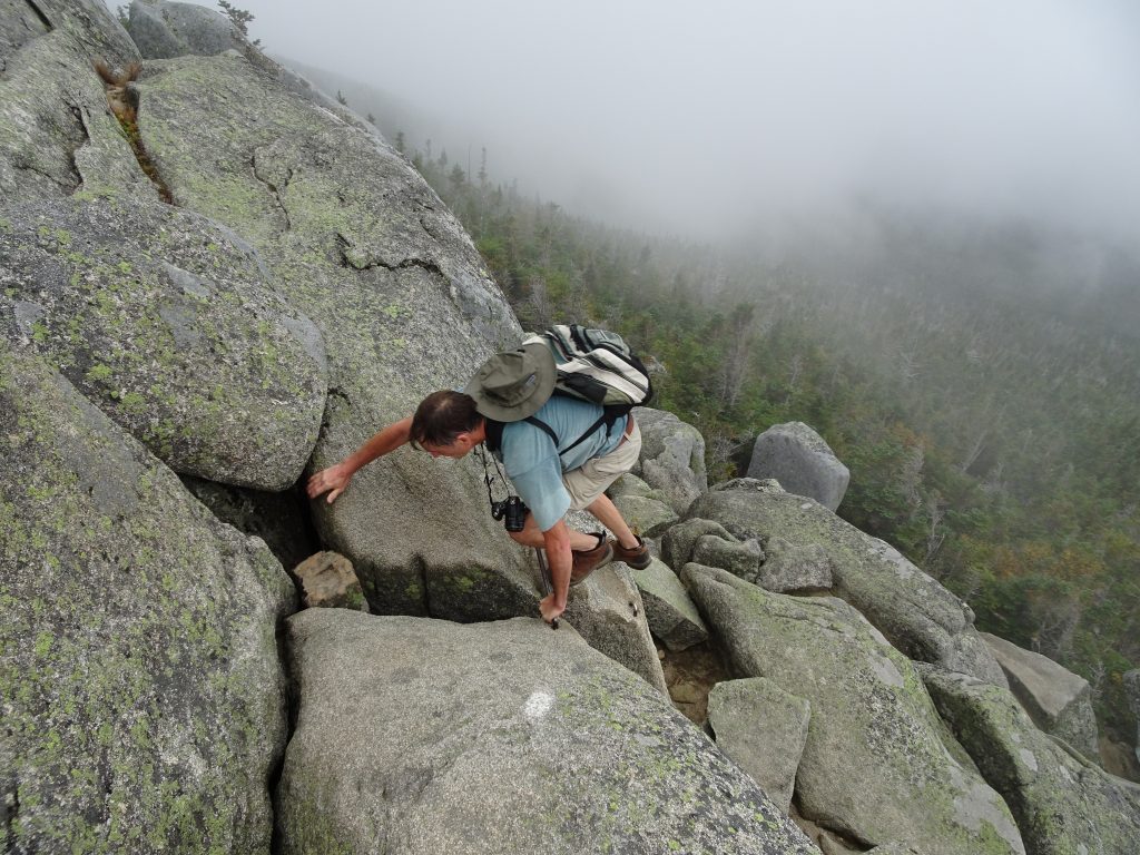
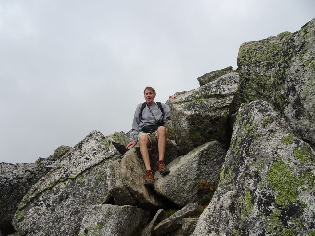
Rich, trying his luck in a rock scramble
Rich, taking a breather
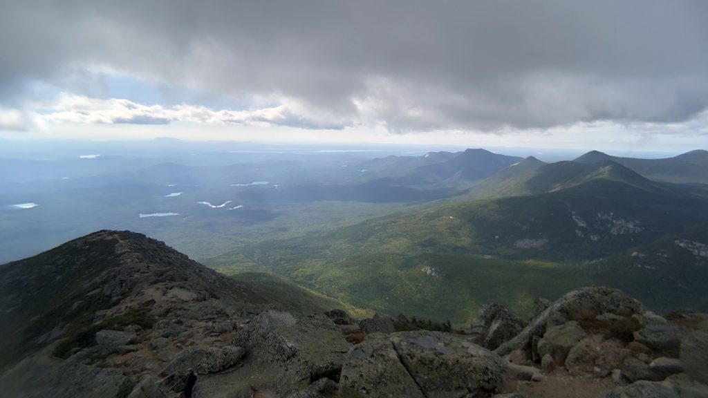
After over five hours of climbing, we reached the summit. By that time, the clouds were breaking up so we were able to enjoy some views down the mountain.
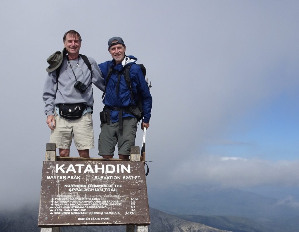
Randy and Rich on the summit
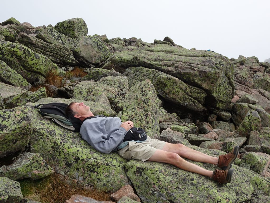
Nap time for Rich on the summit
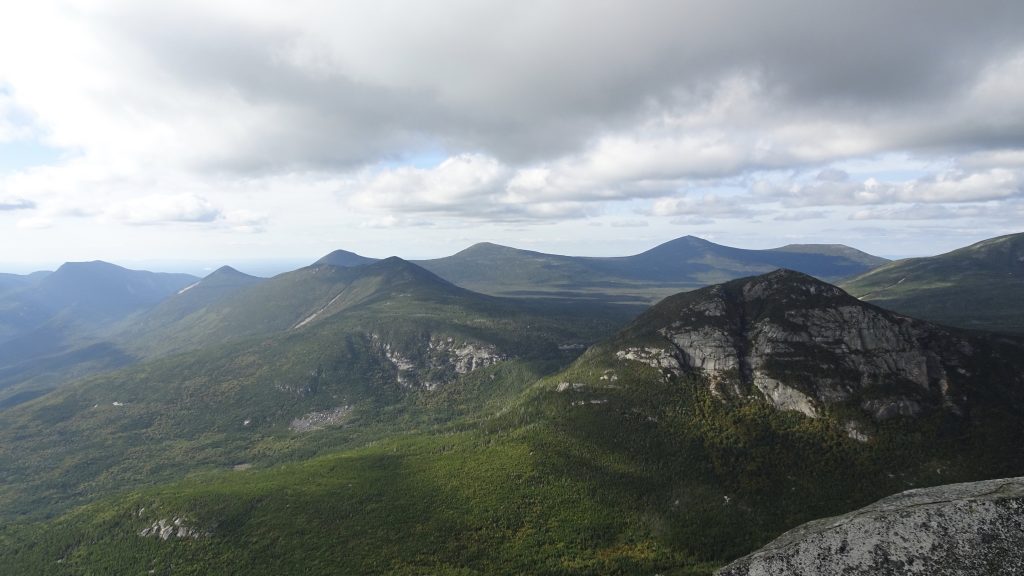
View from the mountain
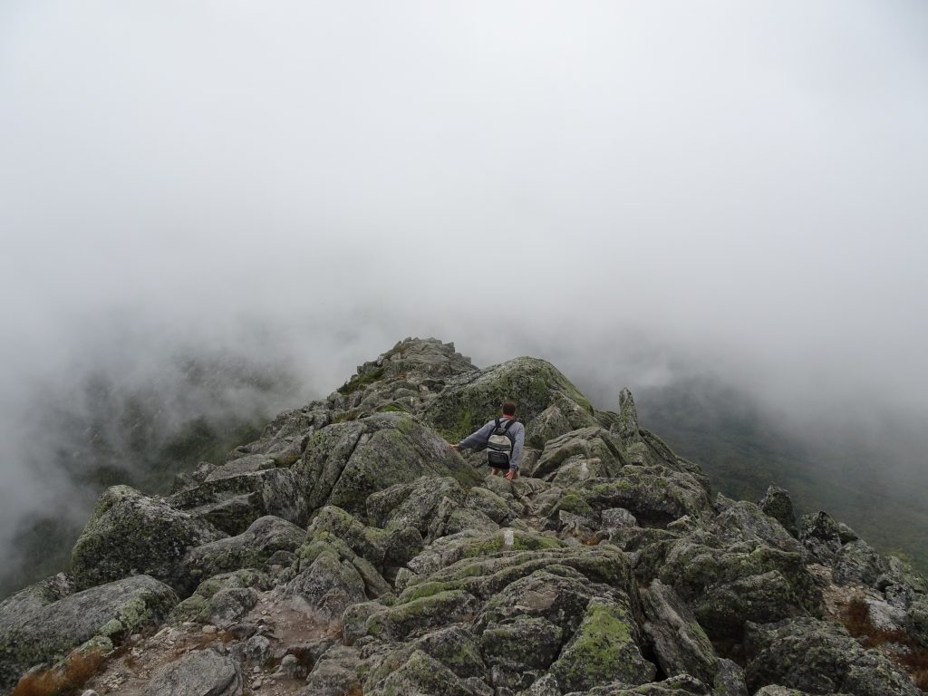
After resting and taking some photos, it was time to head down the mountain. My thru hike was over. All that was left was to get safely down the mountain and back to the car. Fortunately, with gravity on our side, getting down was much easier than climbing up. I confess that Rich and I would not have gotten a lot of style points for the many times we slid down rock faces on our butts. While the “butt-slide” might not look graceful, it is the safest way by far, and I always follow the W.W.N.D. (What Would Nancy Do) principle on the trail.
Crossing “The Tablelands” below the summit
Heading back down the mountain
Fog moving in during our descent
Rich practicing his “butt-slide”
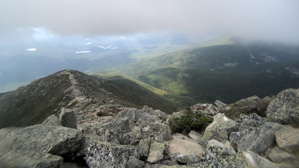
View down the ridge
Clouds still hanging low
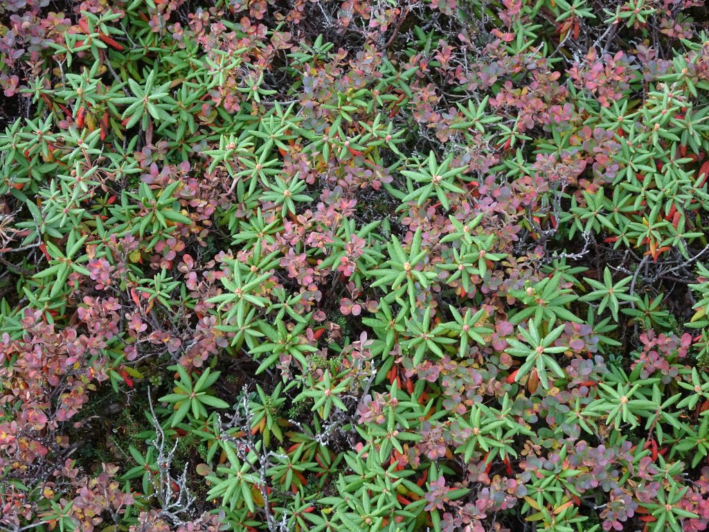
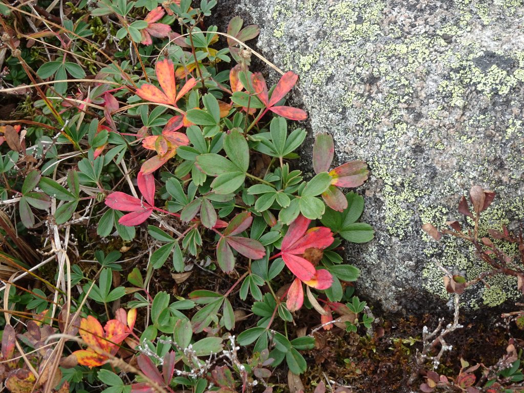
Above the tree line, beautiful alpine plants were starting to show early signs of Fall.
Azalea and Blueberry
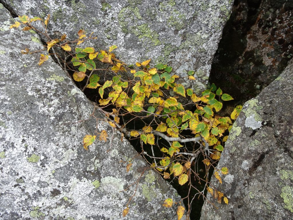
White Birch
Alpine Strawberry
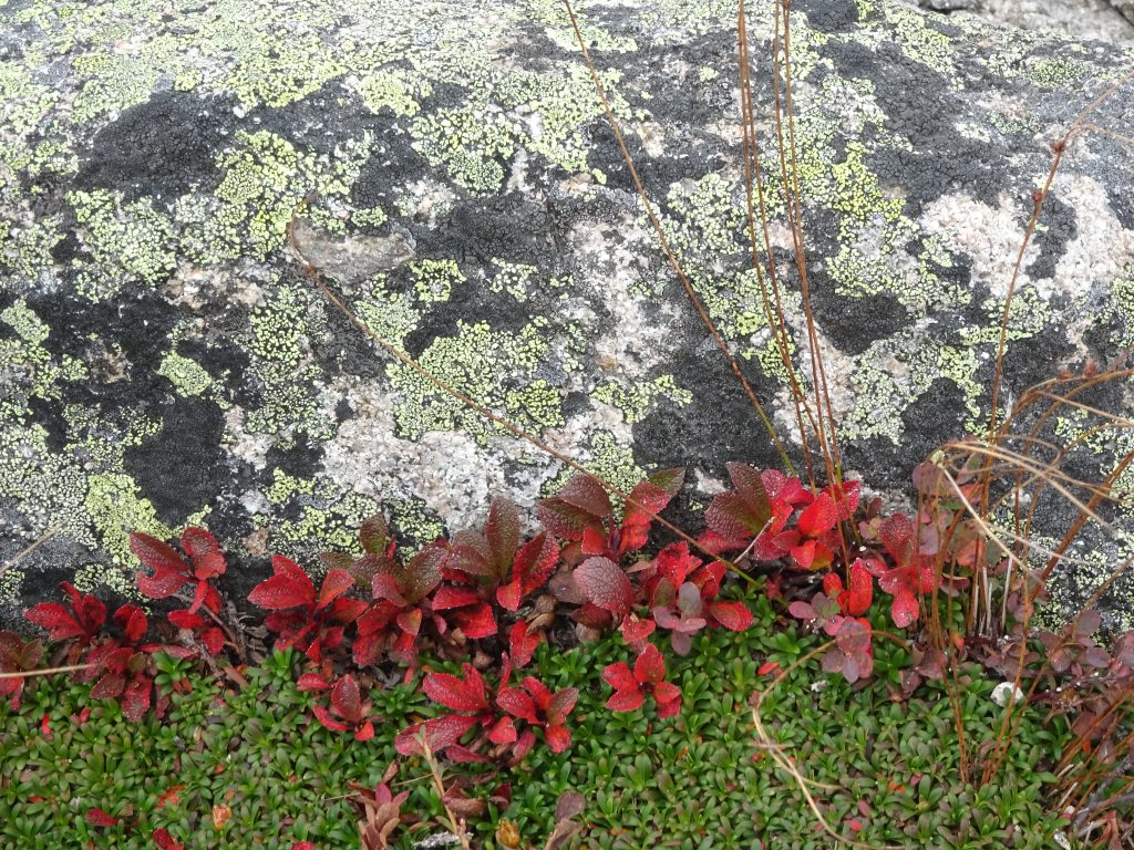
Alpine Bearberry and Pincushion Plant
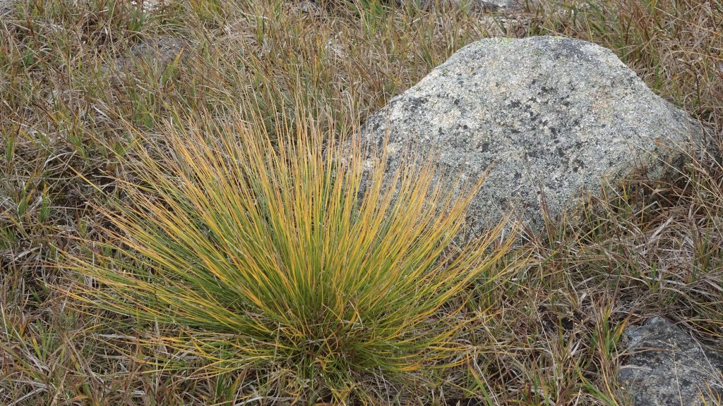
Alpine grasses
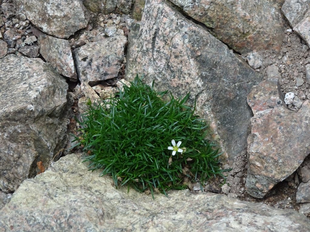
Mountain Sandwort
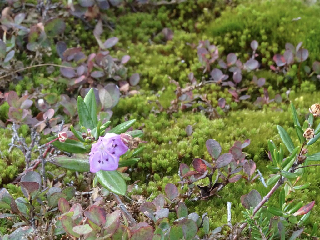
Alpine Azalea with late-summer blooms
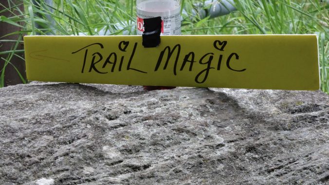
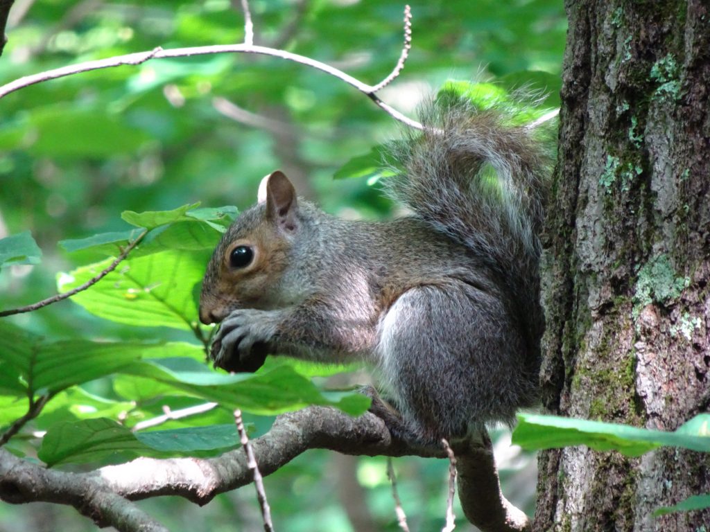
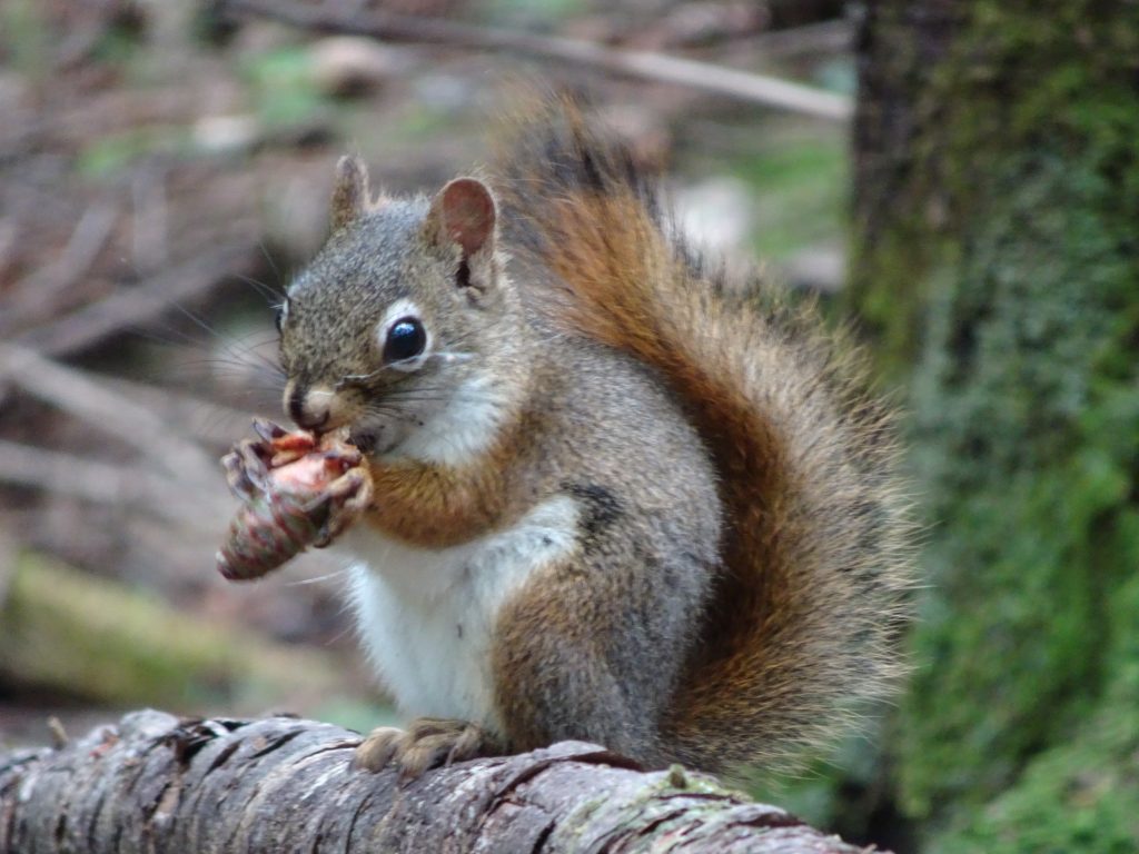
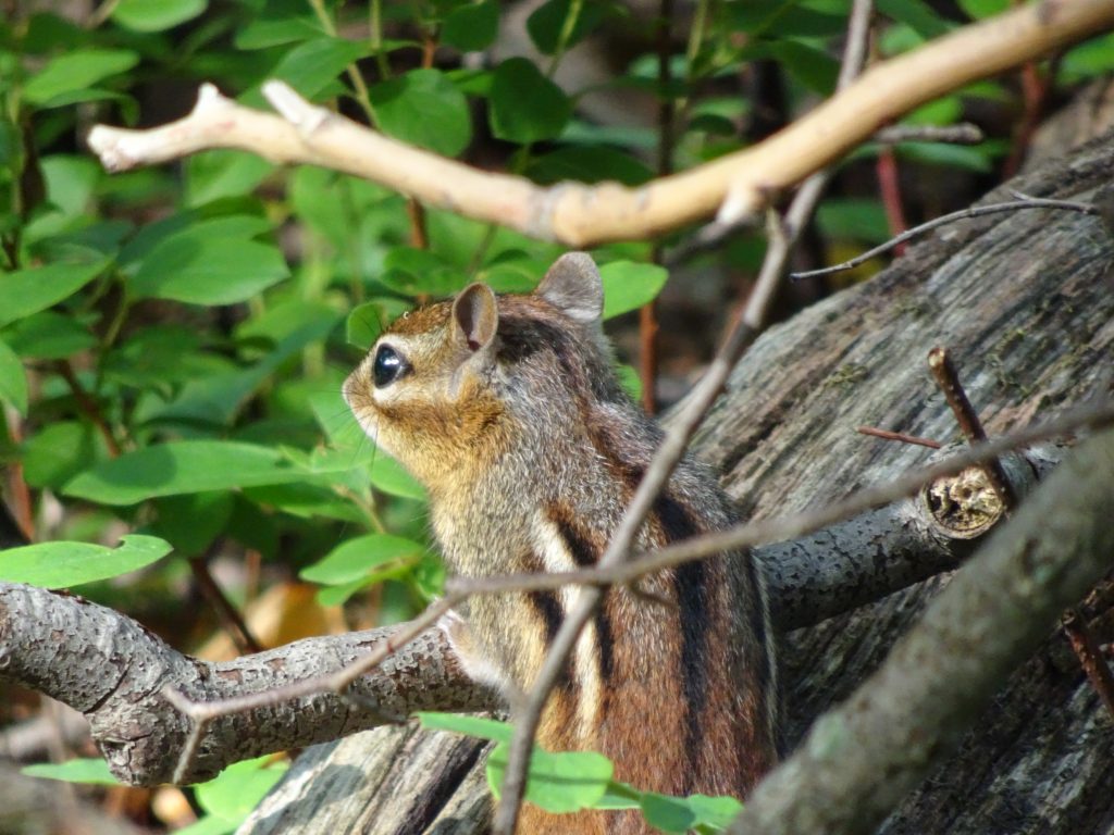
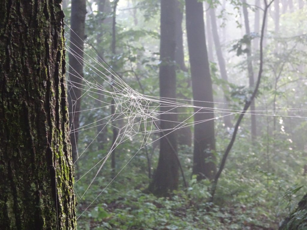
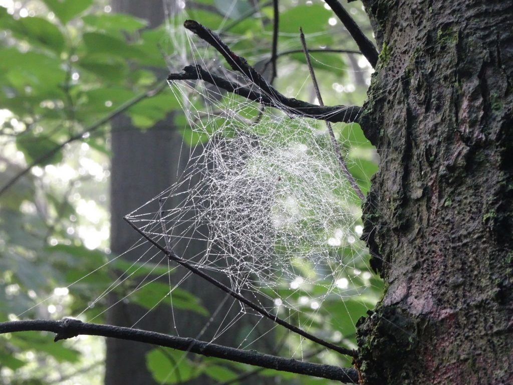
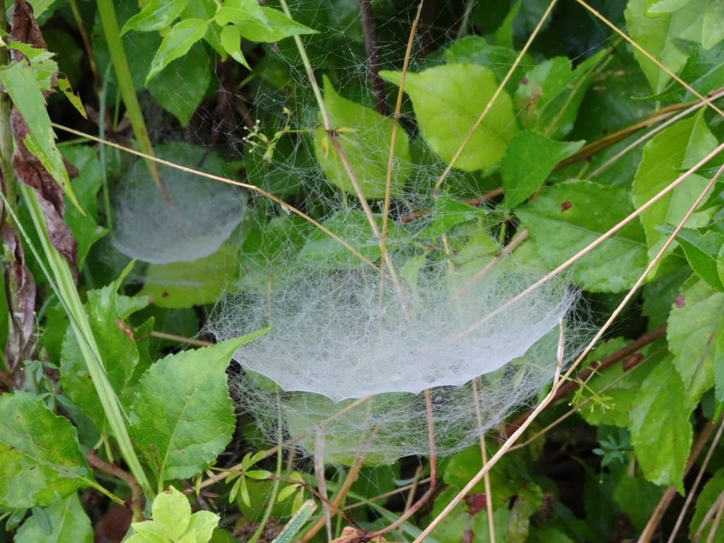
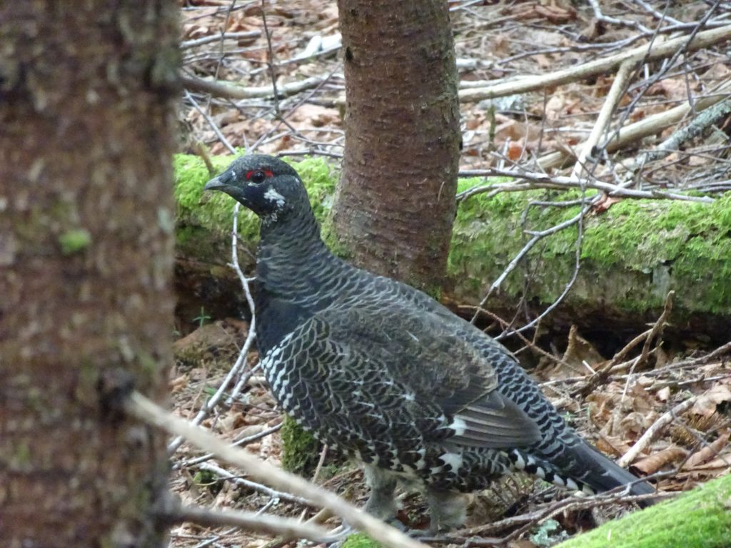
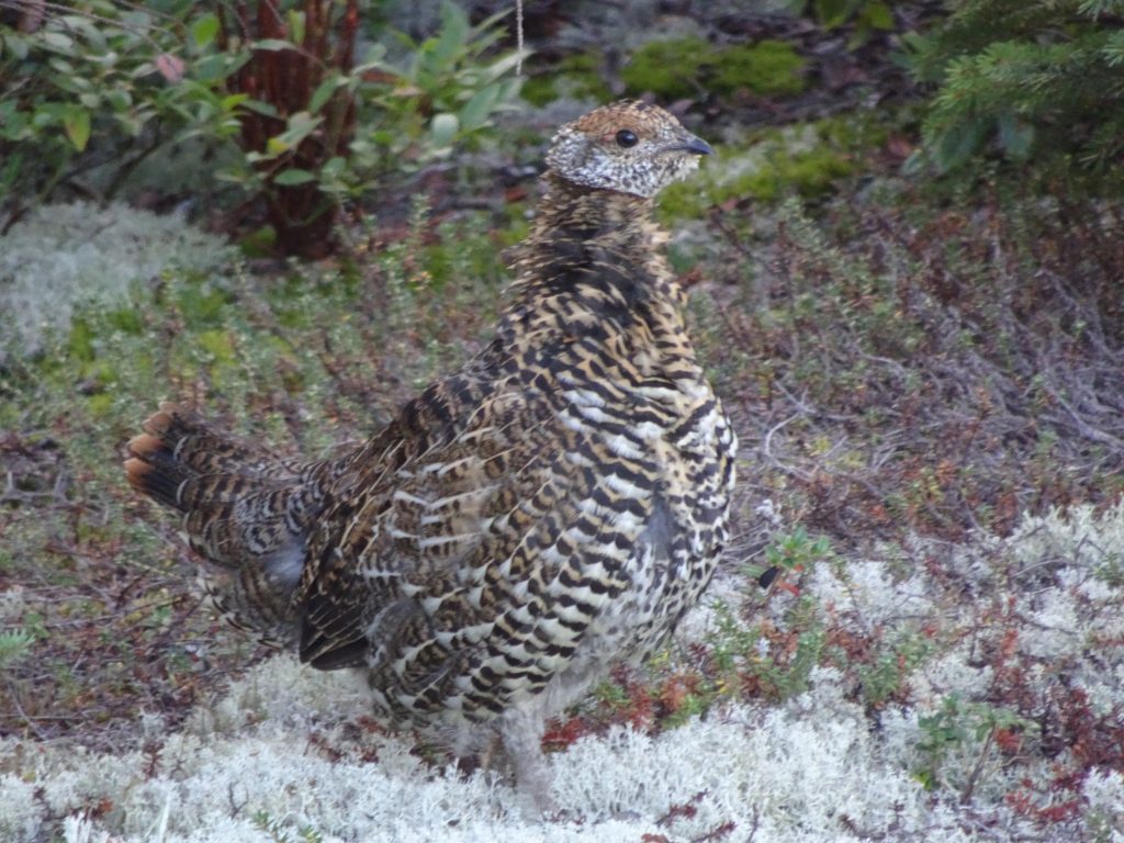
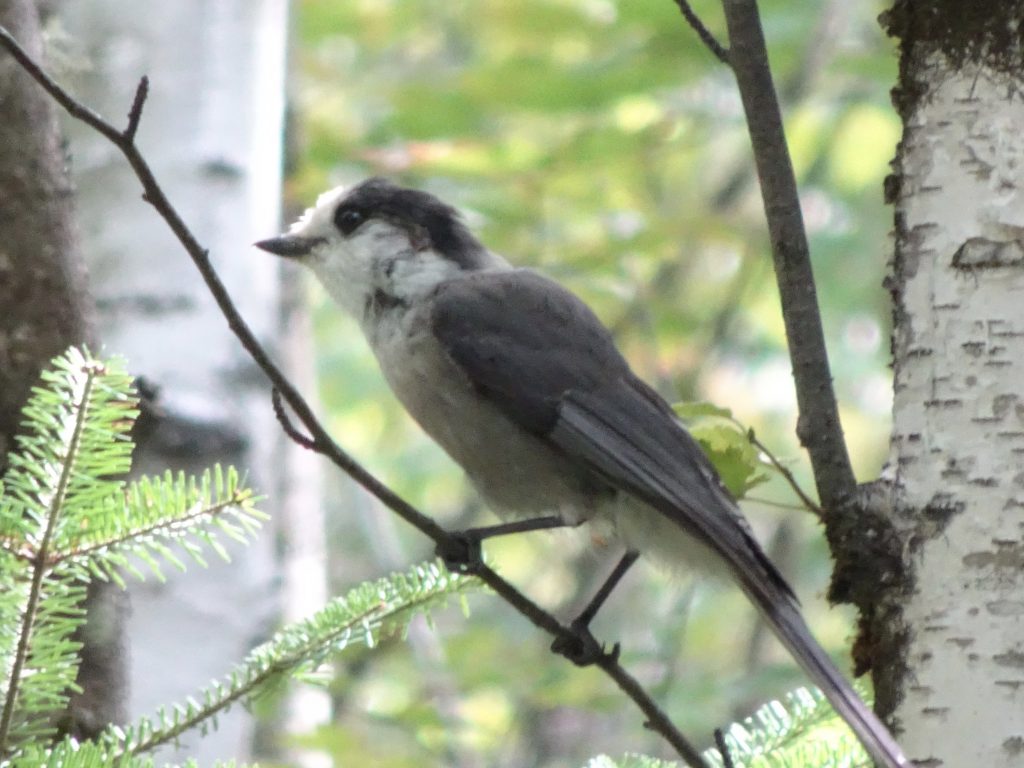
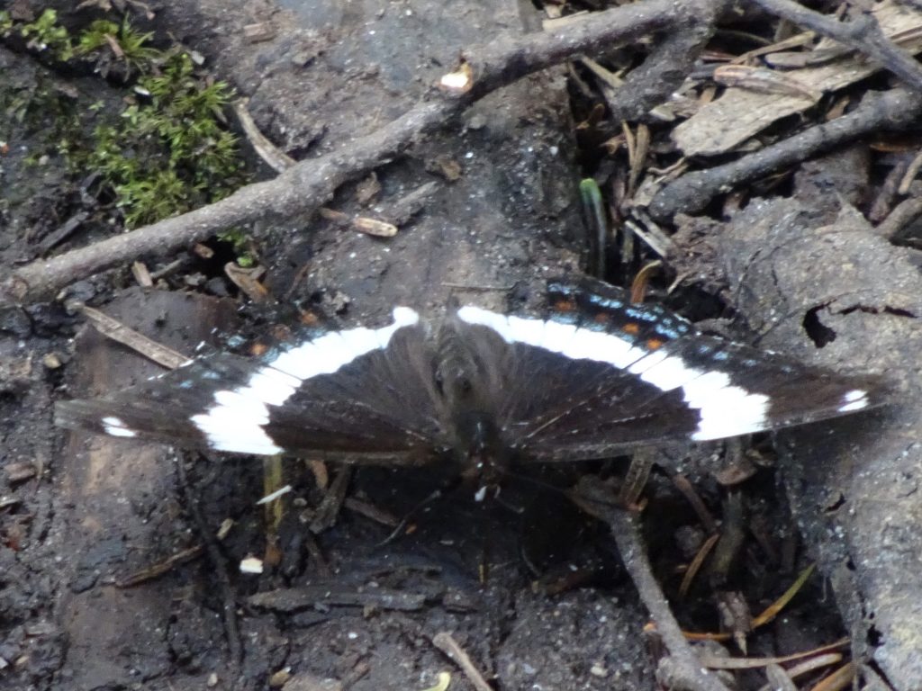
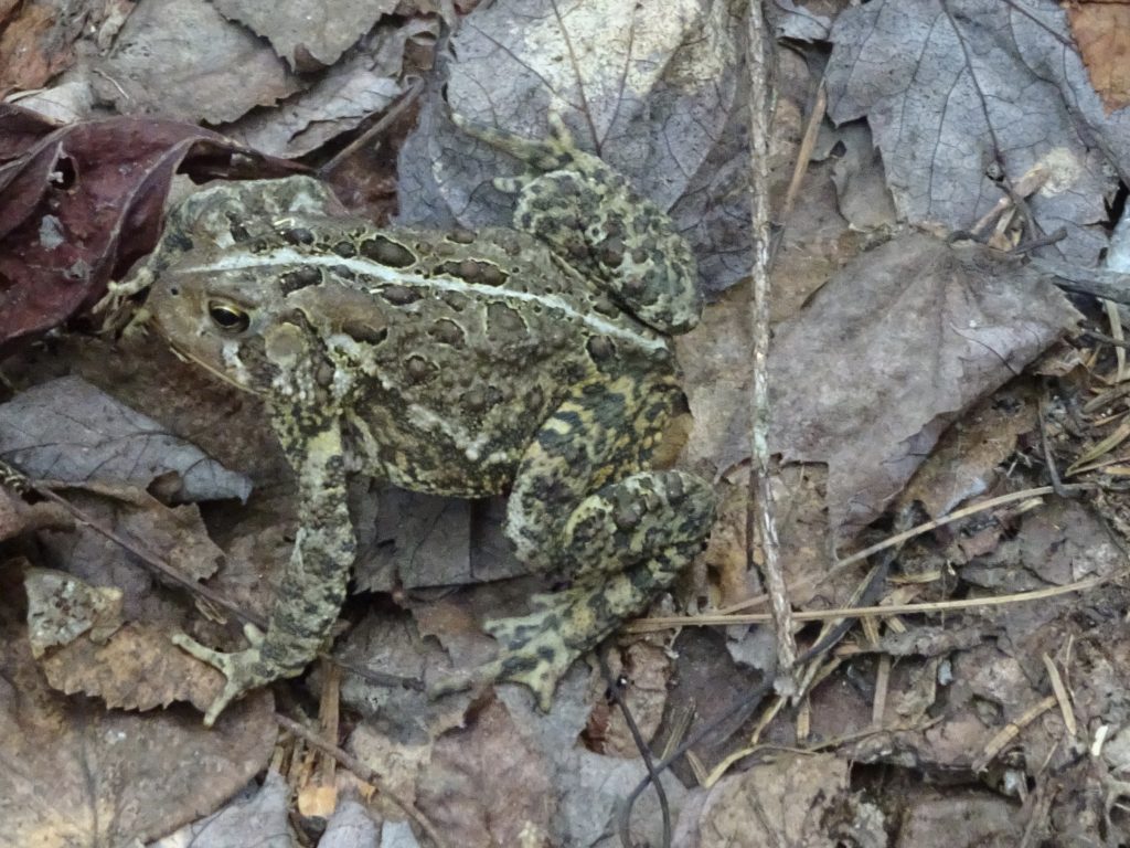
Other flora and fauna…
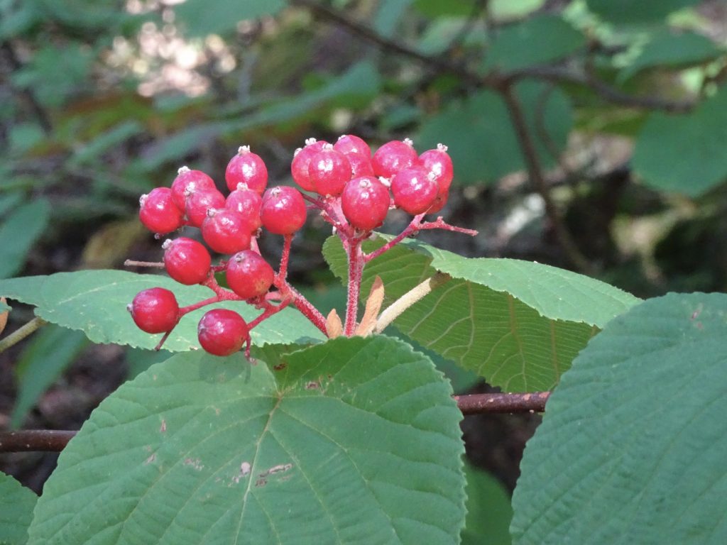
Hobblebush – Viburnum lantanoides
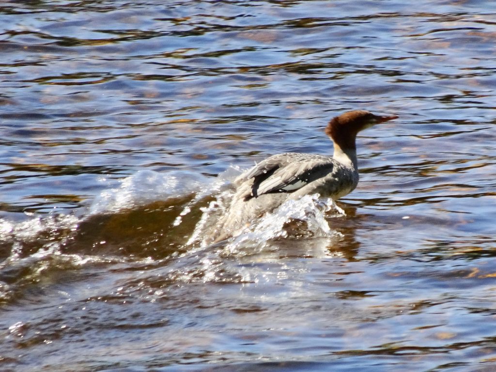
Common Merganser. running across the water
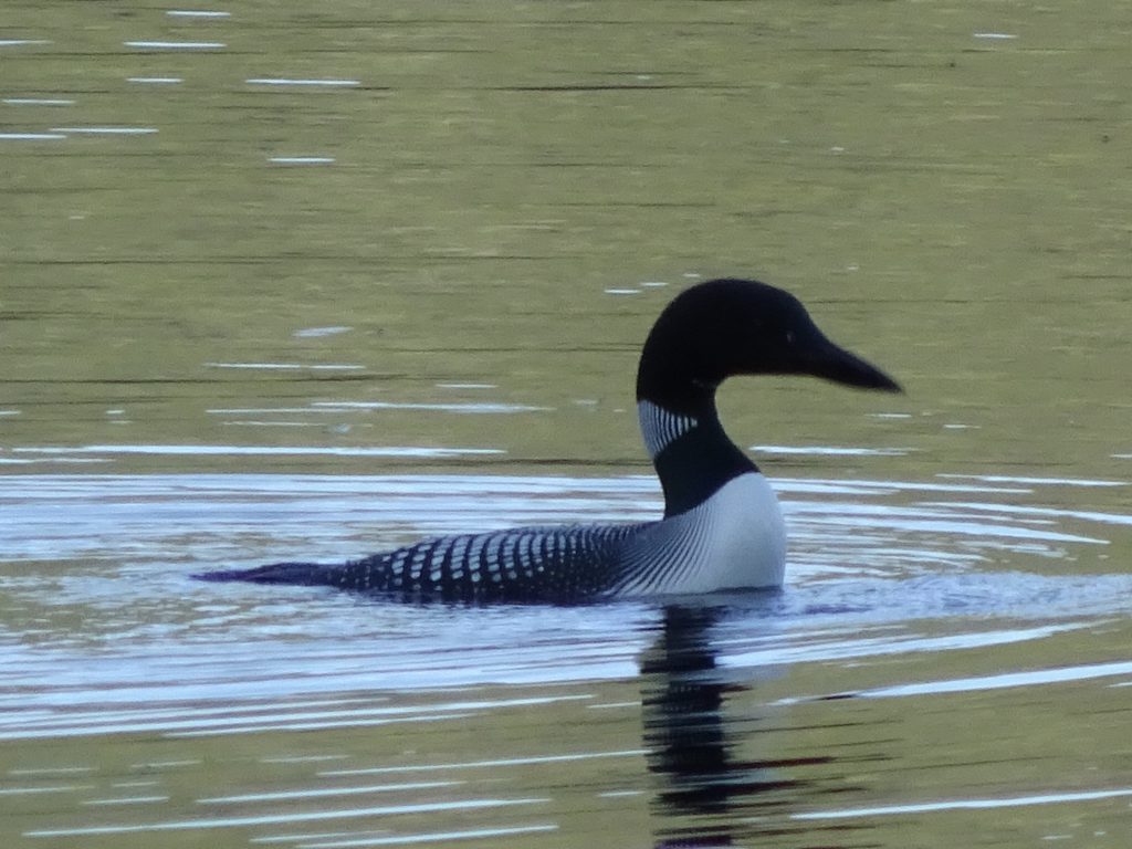
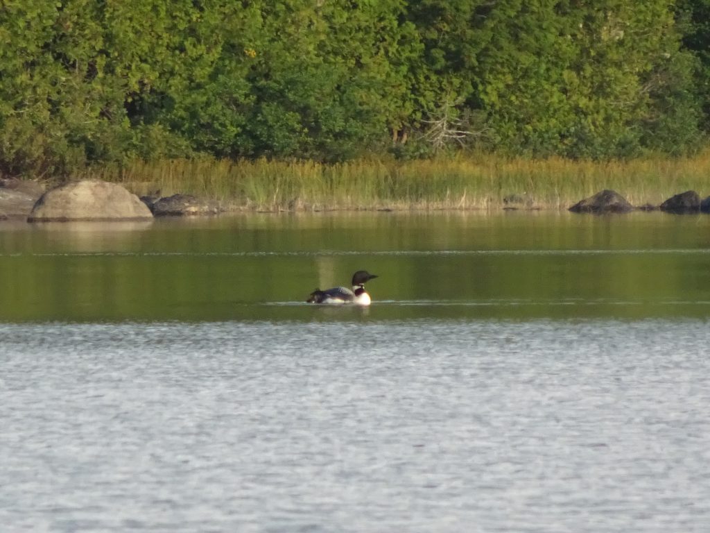
Common Loon
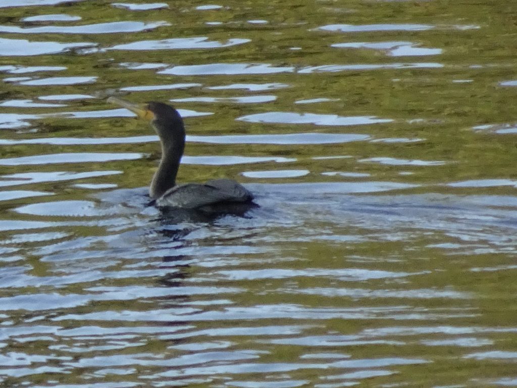
Double-crested Cormorant
My Thru Hike by the Numbers
164 – Total days to complete the trail (5 months and 11 days)
103 – Nights spent in my tent
22 – Nights spent in a shelter
18 – Nights spent in a hostel
13 – Nights spent in a hotel
7 – Nights stayed with family
20 – Most nights in a row sleeping in my tent
32 – Number of nights I “stealth camped”
12 – Number of “zeros” (days off)
13.4 – Average miles hiked per day
14.4 – Average miles hiked per day, excluding days off
464,500 – Total elevation gain for entire trail
3,056 – Average elevation gain per day, excluding days off
3 – Number of pairs of hiking shoes
3 – Number of pairs of socks used (still no holes!)
1 – Number of Bic lighters used
26 – Pounds of weight I lost on the trail (I left home at 177 lbs and returned home at 151 lbs)
23 – New birds to add to Randy’s lifetime list
My Thru Hike Q & A
Since finishing my hike, I have been asked many questions. Here are some of the most common questions with my answers.
Q. Will leaving the trail and getting back to regular life be a big adjustment?
A. I don’t think it will be a huge adjustment. At least, I hope not. I had a good life before leaving on the trail and I am happy to get back to it. Probably the biggest change will be going from my single-minded focus on the trail to having lots of irons in the fire. I think I will have to reacquire some patience for all life’s little annoyances, of which I felt almost none on the trail. As an example, I find myself getting antsy waiting in line the post office or a restaurant. On the trail, I never waited on anyone or anything. Physically, I think that gaining the weight back in a healthy way is going to be a long process. I thought that getting back into running might be easy with my slimmer body. What I am finding is that running is difficult since it uses different muscles and that I have lost a lot of muscle mass.
Q. What was the hardest section of the trail?
A. In terms of pure physical exertion, New Hampshire was the most difficult. However, every section of the trail had its own challenges, whether it be hot weather, cold weather, rain, insects, monotony, scarcity of water, rocks, roots, mud – you name it. Some of my hardest days were in Pennsylvania where the terrain was flat.
Q. What was my favorite state?
A. Maine. Incredible scenery. Good trail conditions. Cool towns. Nice people.
Q. What did I learn out on the trail?
A. Well, probably not as much as I should have. You know what they say about teaching an old dog new tricks. For me, there were no life-changing revelations. Probably my biggest take-away from the trail is that there is a certain satisfaction to living simply and that having more “stuff” does not make you happier. I think I already knew this, but the trail really drives this home. I did not have many “luxury items” on the trail. As examples, I drank my coffee black instead of carrying creamer and I used my clothing bag in lieu of an inflatable pillow. The items in my pack were carefully selected for their utility and reliability. Anything that was not getting regular use (except first aid items) was a burden and an annoyance, so it got sent home or discarded. Returning home, I am resolved to reduce the clutter and own less things, keeping only those carefully-selected possessions that bring me joy. Also, I can now say that I am an experienced backpacker. As I headed out for the AT, I had not backpacked but once or twice since high school. Today, if I was getting ready to take a backpacking trip, I would know exactly what to take and could be packed in an hour or two.
Q. Did I make new friends while on the trail?
A. I learned the trail names and became familiar with many folks on the trail, but I did not make any new lifelong friends. Early on the trail, 95% of the people I would meet I would never see again simply because we were hiking at a different pace. This gradually changed as I got further north. By New England, I was still meeting new people, but would keeping running into a familiar cast of characters who were hiking at a similar pace. Since other hikers would sometimes chose different rest days, I might not see someone for a week or two, then they would pop up again in my “bubble”. On the day I climbed Katahdin, I knew the names of the majority of the other 20 or so thru hikers that summitted that day. Lifelong friendships typically happen on the trail when people band together to hike in groups for long parts of the trail. Members of these “groups” typically don’t hike together during the day, but will camp together and congregate in the evenings. I would say that while the majority of thru hikers start solo, most will join up with a group for at least part of the trail. I did not join a group for two reasons. First, the list of people with which I want to spend every day is pretty short. In fact, Nancy is the only one on that list. Secondly, on the trail, I was looking for the freedom that comes with making all my own decisions, (when to take a day off, where to resupply, where to camp, and so forth,) and to own the outcomes of those decisions. I would save the team-building and teamwork for when I got back to work.
Q. What were my biggest surprises about the trail?
A. One surprise was how cold it was in the South. I almost didn’t pack my puffy coat, which I would end up using all the way up the trail. Because the trail starts in Georgia, I was expecting the weather to be mild when I started in April. I found out that it can get pretty cold in early April in the Georgia Mountains. There were several mornings that it dropped into the twenties. Another surprise was that I would be pretty busy on the trail. I never liked knocking off from hiking until at least 5:30 or 6:00 PM in order to get in as many miles as possible. By the time I would pitch my tent, fetch/filter water, cook, eat dinner, and brush my teeth, it was usually 8 PM or later. Then I would be in my tent for the night. While most hikers start their days early, they try to get lots of sleep. In the evenings, they are likely to be in their tents by about 8 PM, usually reading or on their phones for a time before turning off their headlamps. On the trail, 9 PM has the nickname “hiker midnight”.
Q. Did I ever get homesick on the trail?
A. Although I missed my family, I was not often homesick. The fact that I was always “busy” helped in this regard. The times when I missed home the most were on holidays (Memorial Day, Fourth of July, Labor Day) when I would be sitting on the side of a mountain somewhere and thinking about how my friends and family must be having some kind of get-together.
Q. Did I mind camping by myself?
A. Although I was not keen to stealth camp by myself for days on end, I did not mind it once in a while. It could be very peaceful. Also, I became an expert at sniffing out stealth spots with cell service, so I would be able to call or text with folks at home. I was not lonely, afraid of the dark, or afraid of bears. Okay, maybe a little afraid of bears… My worst nightmare was that some night I would look through the screen of my tent and see a bear looking back at me.
Q. Was it exciting to finish the trail or did you have mixed emotions?
A. By the time I reached Katahdin, I was pretty content to finish my hike, so I felt no great remorse. That said, in some ways, the end of my hike on Katahdin was a little anticlimactic. An analogy I would make is that it is similar to a wedding or other big event. You plan the event for months and months, but at the end of the night, all that is left is to do is to pack up your car and go home. Similarly, after enjoying the view from on top of Katahdin and snapping a few photos, my epic journey was over, and all that was left was to hike down the mountain and head for home.
Q. What is your next big adventure?
A. I have nothing planned for now. It is highly unlikely that I will do another thru hike. The Pacific Crest Trail (PCT) and the Continental Divide Trail (CDT), the other two long hikes which make up the US “triple crown”, don’t have any particular draw for me. At some point, I would like to do some easier, medium-length hikes like the Camino de Santiago where Nancy would be able to accompany me. Also, there are some shorter trails, like the 215-mile John Muir Trail, that I would like to hike some day.
Final Thoughts
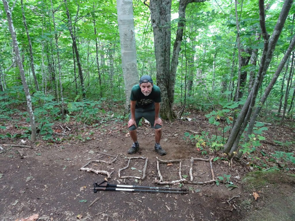
Like Bilbo Baggins, I have made it “there, and back again.” I have returned safely home from my big adventure to my comfortable hobbit hole, hopefully wiser and more confident. Having completed the trail, I have fulfilled the requirements to be an Appalachian Trail “2,000-miler”. The Appalachian Trail Conservancy (ATC) recognizes hikers who have “made an honest effort to walk the entire Trail—as a thru-hiker or in sections, while sequence, direction, length of time, or whether you carried a pack are not considered.” Different hikers take different approaches. “Hike your own hike” is the motto. I took the simplest possible approach. Each day, I strapped on my pack and hiked north.
I thank everyone who has taken the time to follow my blog. Writing this blog was a nice diversion for me on the trail. Nancy and Shelby would often tell me that someone or other was enjoying reading my blog. These words of encouragement inspired me to strive to take my best pictures and to do my best writing. I hope you have enjoyed it!