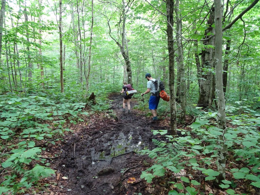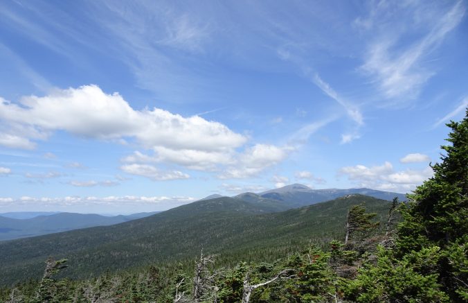
Of the 160 miles of the Appalachian Trail that passes through New Hampshire, the main event is the White Mountain Range which comprises 106 miles along the path. All the way up the trail, I have been hearing, “Wait until you get to the Whites!” The White Mountains are well known for their breathtaking scenery, but also for their steep, gnarly trails. They would not disappoint, on either count.
The AT enters New Hampshire where it crosses the Connecticut River into the town Hanover, home of Dartmouth College. The state line marker is on the bridge at the midpoint of the river.
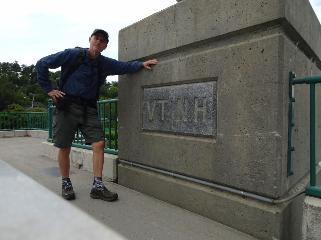
Crossing the Connecticut – New Hampshire border
My visit in Hanover was short, spending just enough time to resupply and eat some town food. I did stop at Robinson Hall, home of the Dartmouth Outing Club. The building stays open for hikers to drop their packs, relax, charge phones, connect to WiFi, visit restrooms , etc.
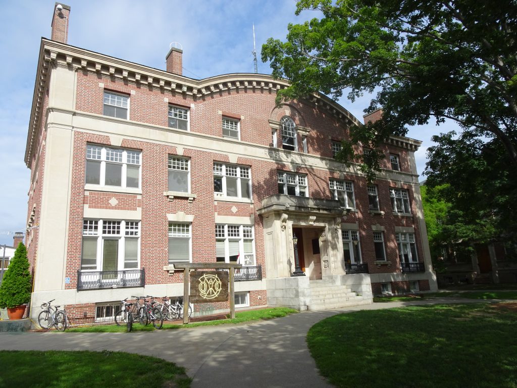
Robinson Hall – Home of the Dartmouth Outing Club
The club, founded in 1909, maintains the AT section from Hanover to the southern Whites. You can identity the DOC-maintained trail sections by their artful signage.
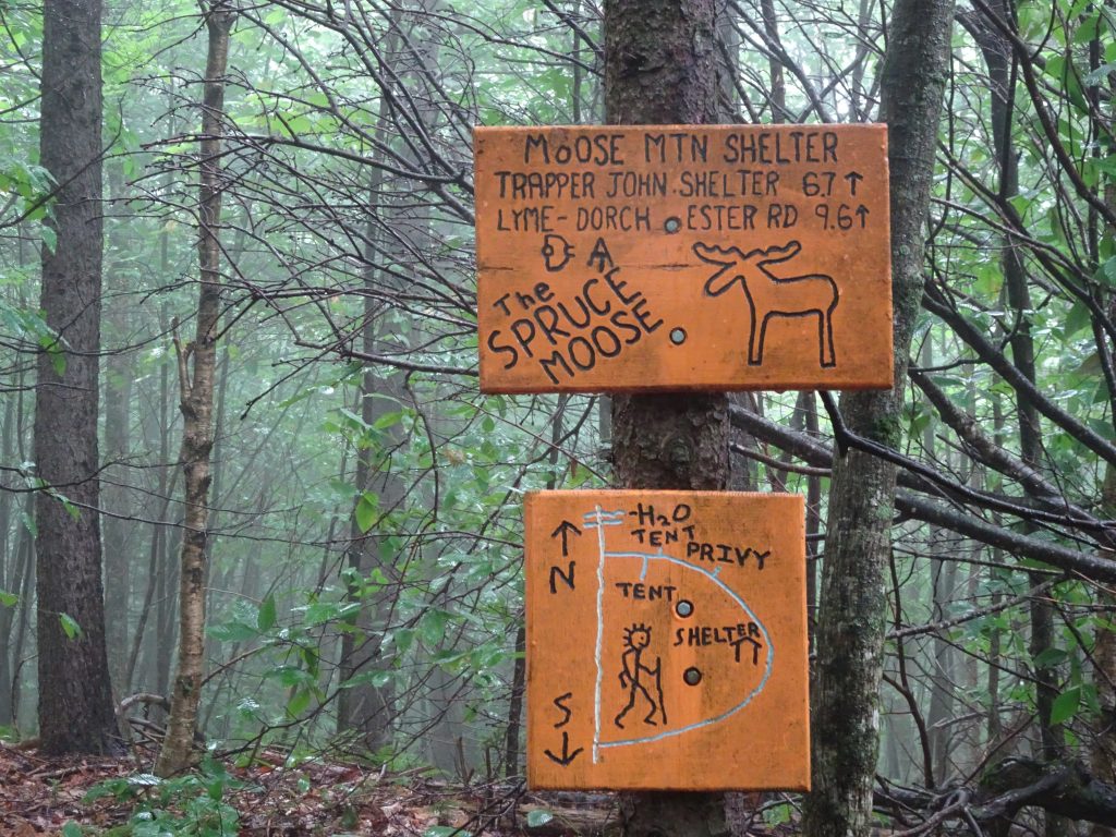
Creative trail signage
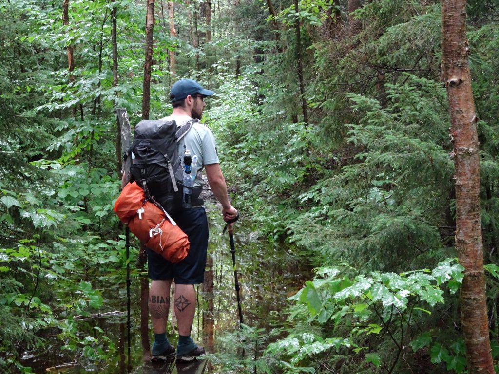
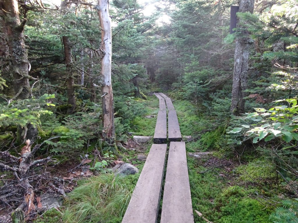
One morning, I had a mishap in one of the nastier bogs. I stepped on a bridge plank only to discover it was not anchored, but only floating. Into the swamp my leg went, up to my knee.
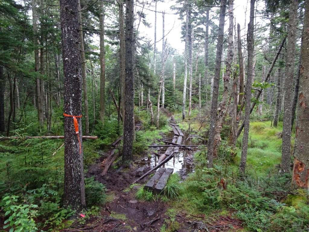
Beware of this bridge!
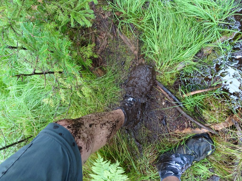
Just a little mud
By coincidence, just a few minutes later, I ran into a caravan of Dartmouth students muling bridge materials up the trail. When I told them about my my mishap, the worker said, “Oh yeah, that one.” He said that instead of rebuilding that particular bridge, they would probably just reroute the trail.
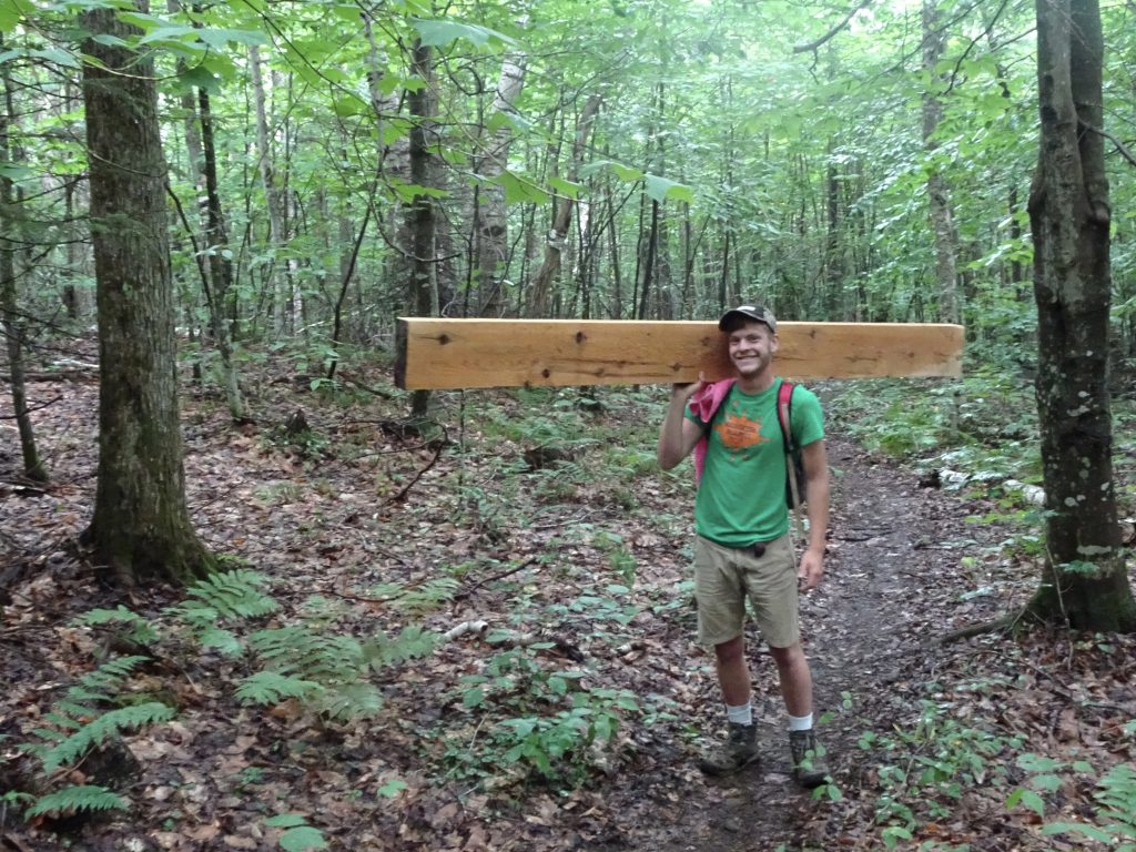
Hauling a plank up the mountain
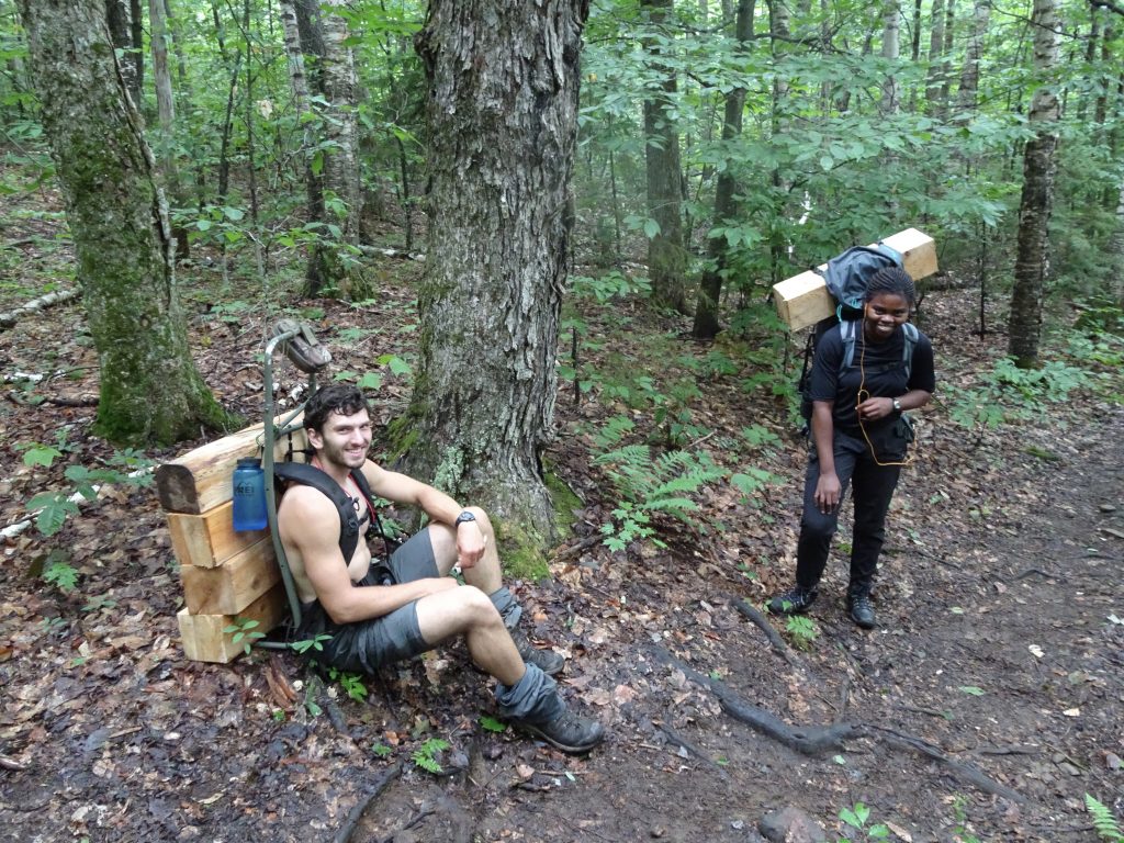
More “mules” hauling bridge materials
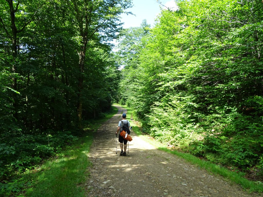
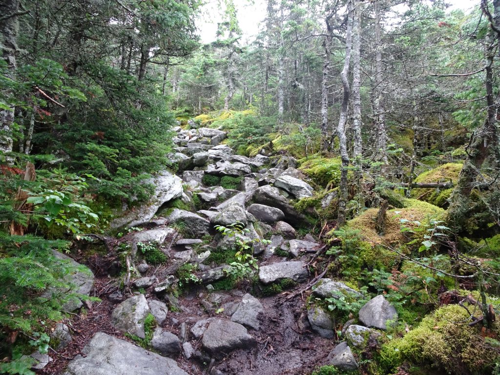
After crossing several smaller peaks, my first real “Welcome to the Whites” experience was Mount Moosilauke. The climb, 3800 vertical feet over six miles, was steep but not too bad. The trail was mostly small boulders that could be used as stepping stones.
Climb up the south face of Moosilauke
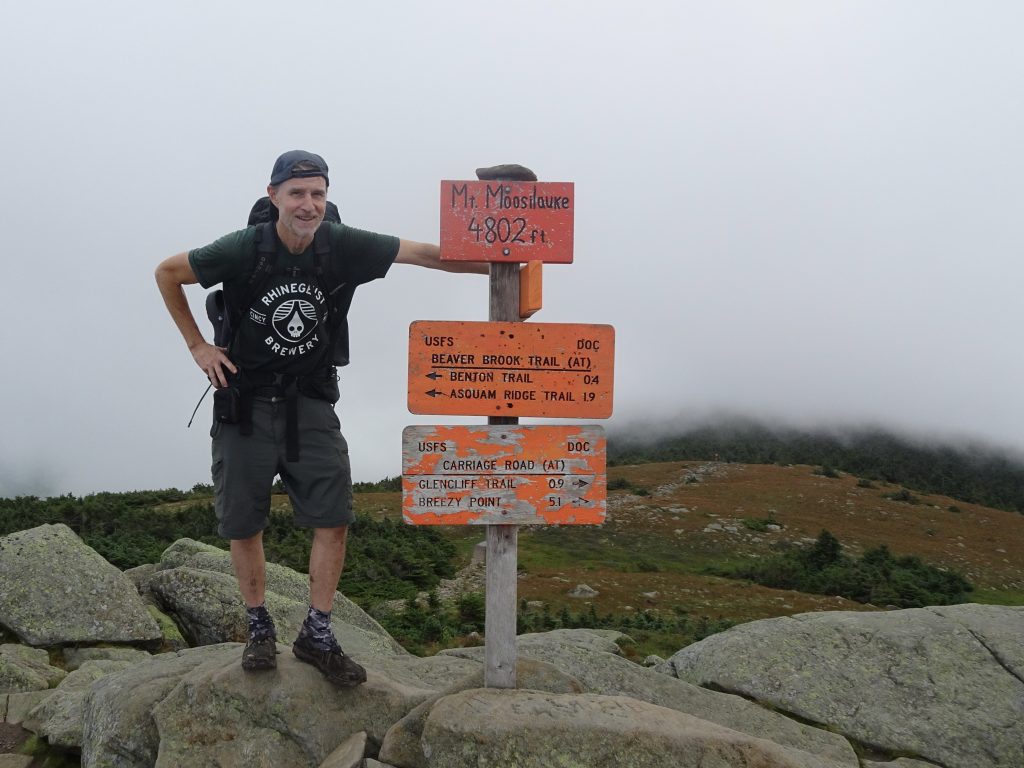
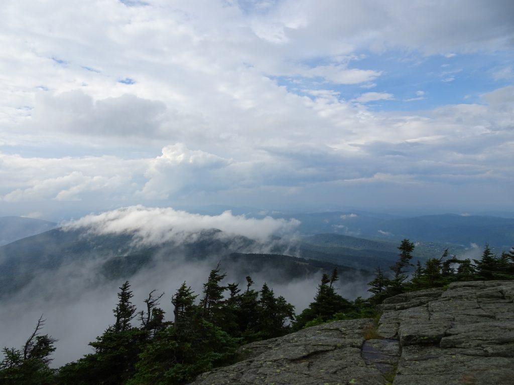
Foggy day on top of Moosilauke
The trip down the mountain was a different story. About one mile of the descent follows a steep ravine running parallel to a steam, the Beaver Brook. Here, the trail builders of yore have stacked huge boulders to create a makeshift staircase. How they positioned these boulders, I have no idea. The Egyptian pyramid builders had nothing on these guys.
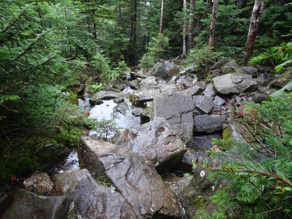
Trail down the north side of Moosilauke
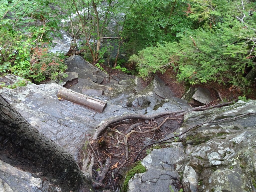
Wood steps on the steep rock faces
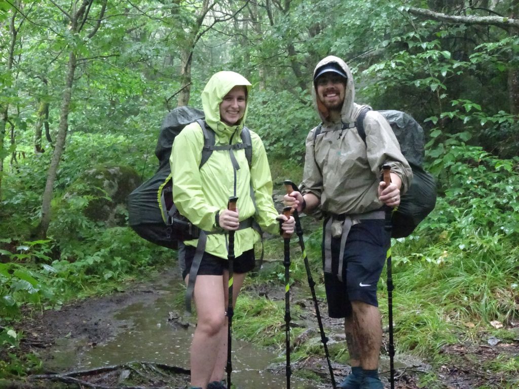
I was pretty slow and timid as I made my way down, especially so since the rocks were wet. It was total concentration. Losing my balance or making one bad foot placement could end my hike. Later that evening at the hostel, I learned that I was not alone in my nervousness. Even the youthful hikers (who tend to be more rambunctious) said they were a little spooked. Fortunately, I haven’t encountered any trail that sketchy either before or since.
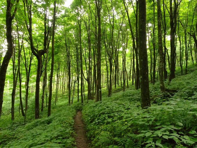
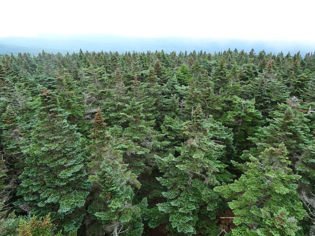
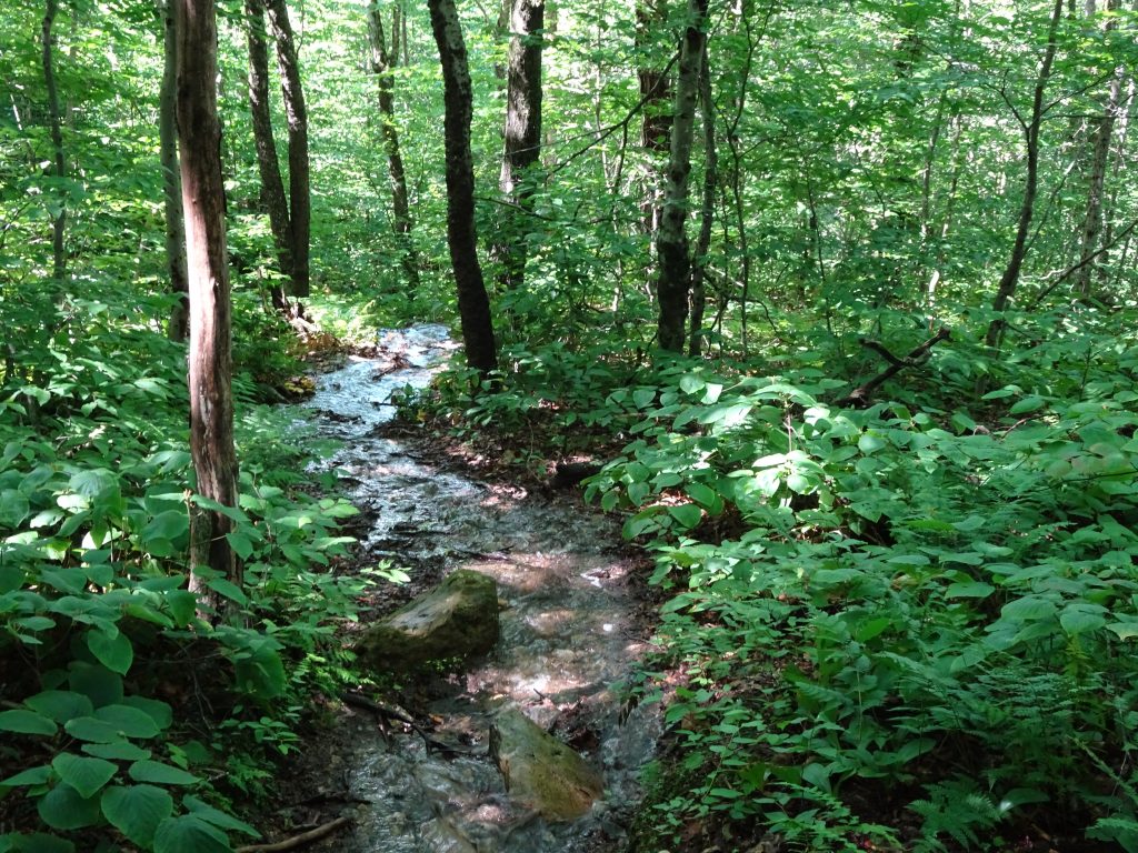
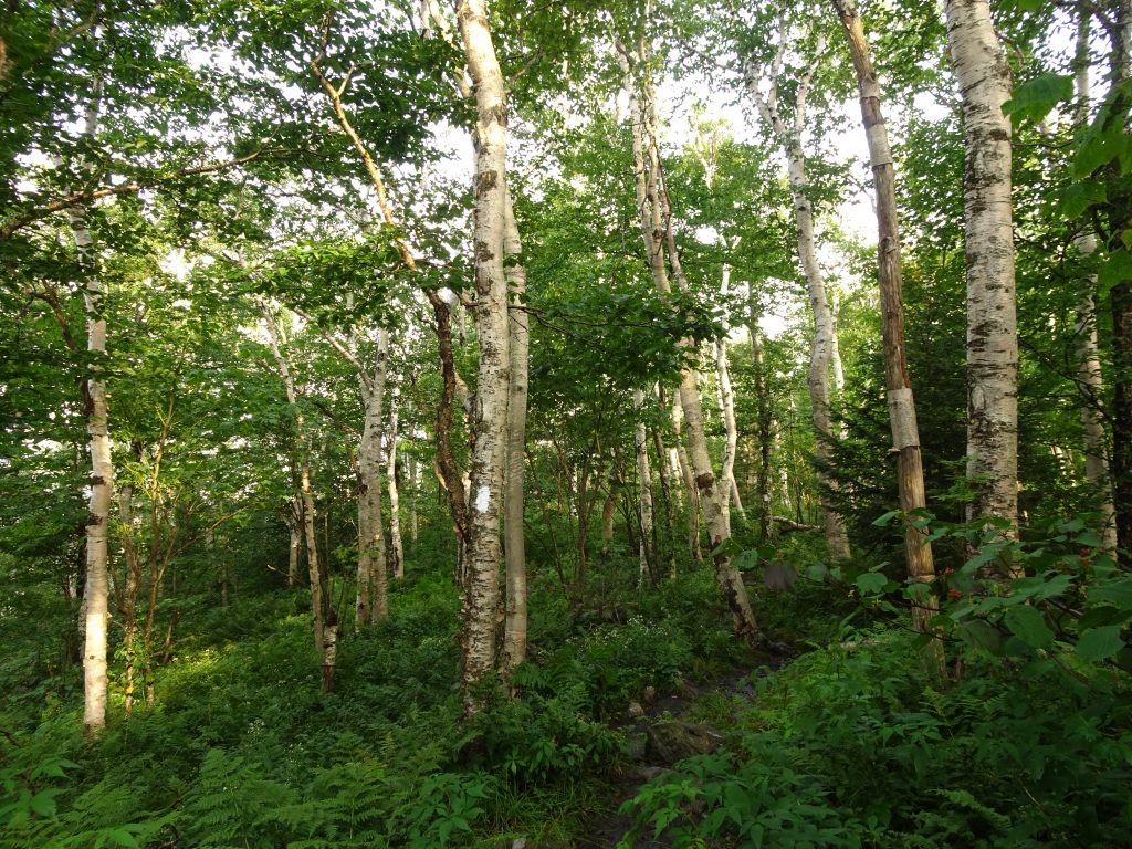
A good deal of the AT in the White Mountains passes through boreal forest, populated mainly by spruce and firs. Cool summers and an abundance of moisture give it a lush green appearance.
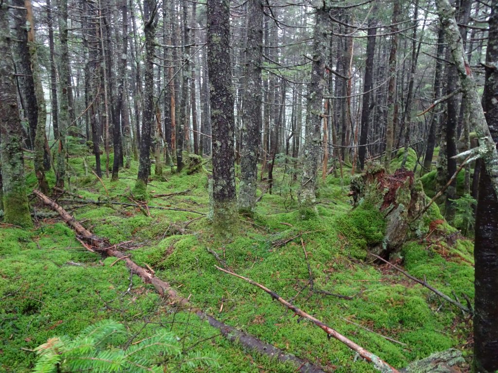
A green carpet in the boreal forest
Swamps in the boreal forest
Above the tree line is the alpine zone, populated by low-growing alpine plants.
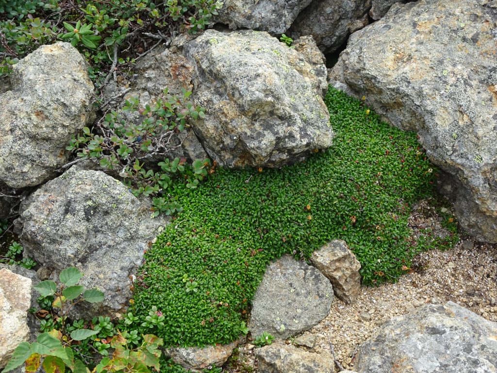
Alpine vegetation – Pincushion Plant and Blueberry
A very popular destination in the Whites is Franconia Ridge. National Geographic ranked the ridge trail number six in their top 20 list of dream hikes. The AT traces the rocky portion of the ridge from Little Haystack Mountain over Mount Lincoln and up to Mount Lafayette. I had a good view of the ridge from Little Haystack. By the time I reached the top of Mount Lafayette, the clouds had moved in leaving nothing to view besides the fog.
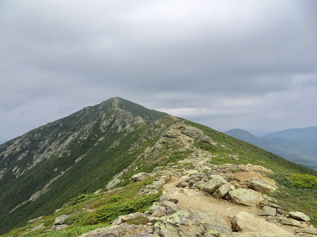
View of Mt Lincoln and Mt Lafayette from Little Haystack
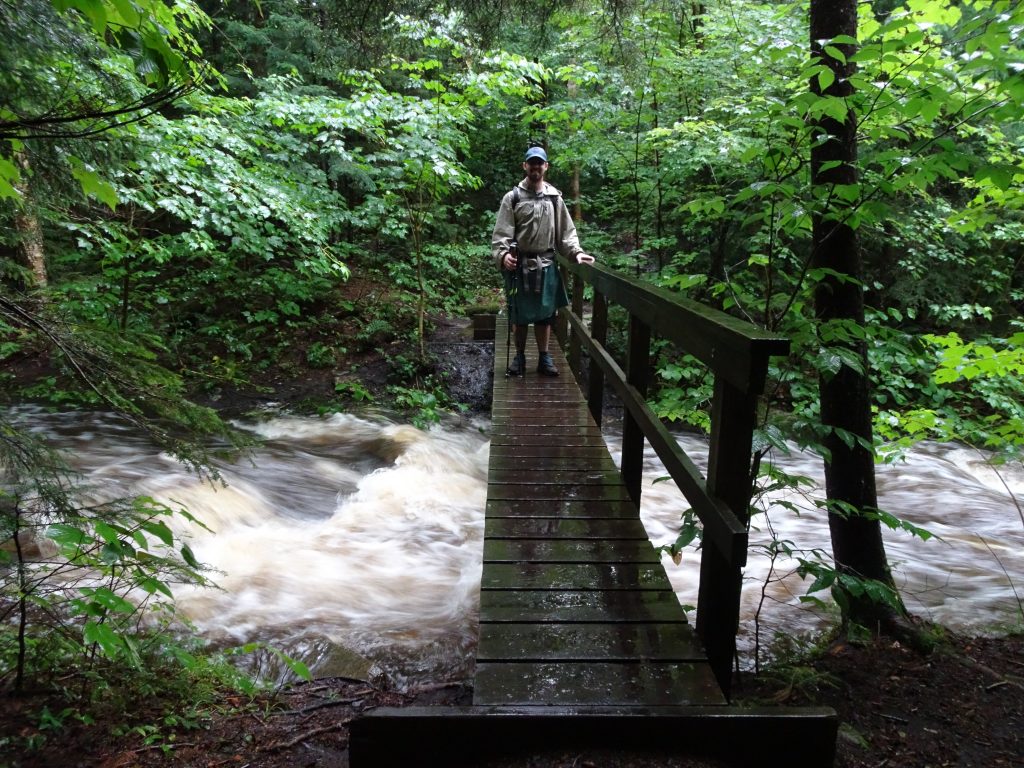
The next day, I had great weather to begin my hike of the Presidential Range of the Whites. The AT follows the historic Crawford Path which passes over or very near the summits of Mount Pierce, Mount Eisenhower, Mount Franklin, and Mount Monroe before its terminus on Mount Washington. Laid out in 1819, the Crawford Path is the oldest continuously-used mountain trail in America.
Presidentials: (Left to Right) Mount Pierce, Mount Eisenhower, Mount Franklin, Mount Monroe, and Mount Washington, viewed from Mount Jackson
View of Mount Washington from the summit of Mount Monroe
The Crawford Path was fairly smooth trail until the final climb up to Mount Washington where it turned into a rock scramble.
Crawford Path
Crawford Path heading up the flank of Mount Washington
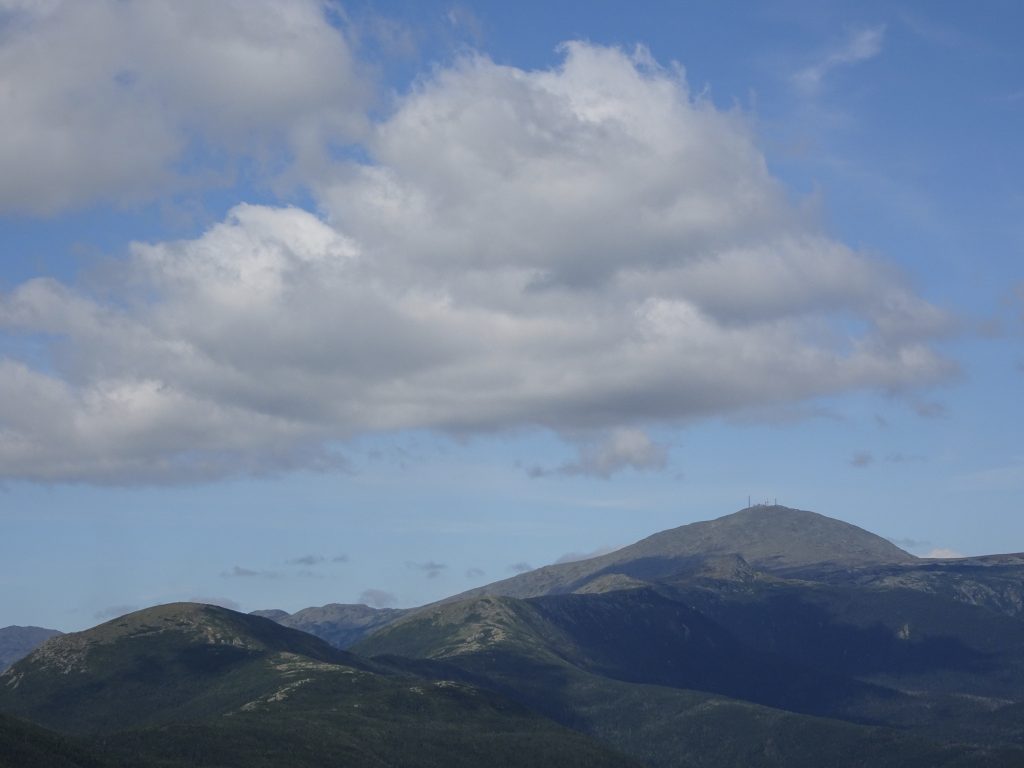
The top of Mount Washington was a beehive of activity. There was a long line of people waiting their turn to take their photo next to the “MT. WASHINGTON SUMMIT – 6288 FT” sign. The majority of visitors to the summit arrive via the “auto road” or by riding the Cog Railway. Construction of the auto road, which took from 1854 to 1861, must have been quite an undertaking for its day. I can only imagine the hardships those workers endured, living in shanties on the side of the mountain, and working outdoors in the wild Mount Washington weather.
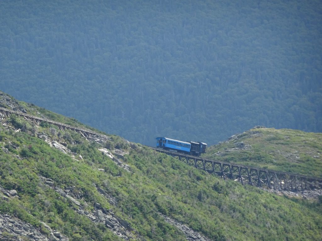
Based on the number of trains I observed going up and down the mountain, the Mount Washington Cog Railway looks pretty popular. Completed in 1869, it was the first cog-driven mountain-climbing railroad in the world. The railway was the brain child of a local engineer named Sylvester Marsh. Even though they considered the railway a crazy idea and doomed to fail, the New Hampshire legislature gave him permission to proceed. They figured that since Sylvester was putting up his own money, they had nothing to lose. As it turned out, the railway was a huge success, and Sylvester had the last laugh. President Ulysses Grant, while vacationing in New England, even took the train up the mountain in August of 1869.
Today, with a maximum gradient of over 37%, it is the second steepest cog railway in the world, second only to another in Switzerland. Most of the trains are biodiesel-powered, but they have two daily runs that are propelled by coal-fired steam engines. These belched out an impressive quantity of steam and black smoke. The AT actually crosses the track, so I was able to observe close up and even got dowsed with coal-fire ashes. The train ride looks like fun. I hope to come back and ride it someday.
Train heading down the mountain
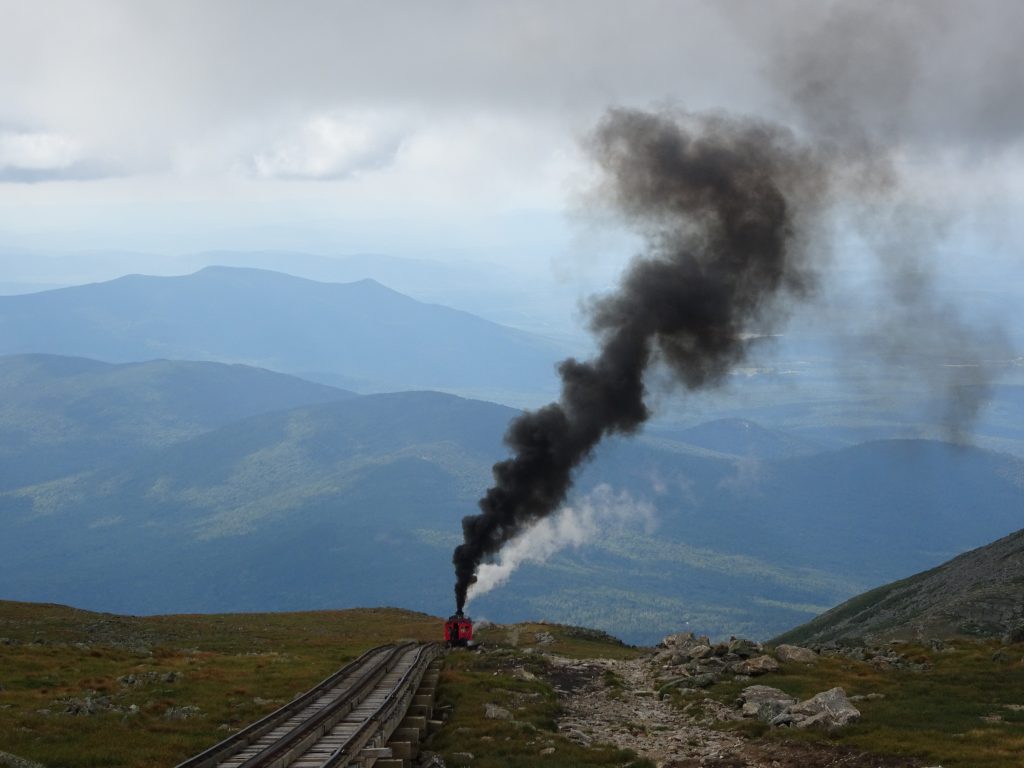
Coal-fired train coming up the mountain
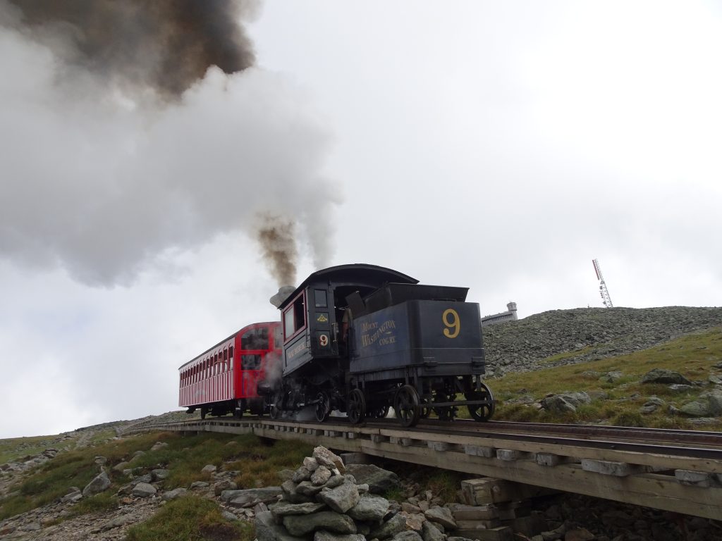
Coal-fired train passing by
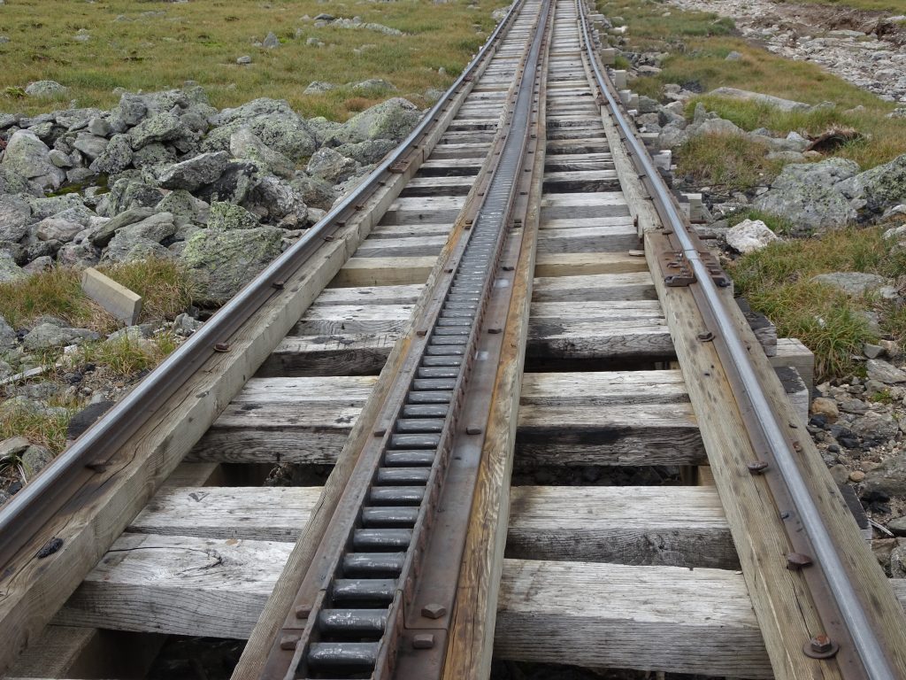
Cogs provide the traction, hence the name
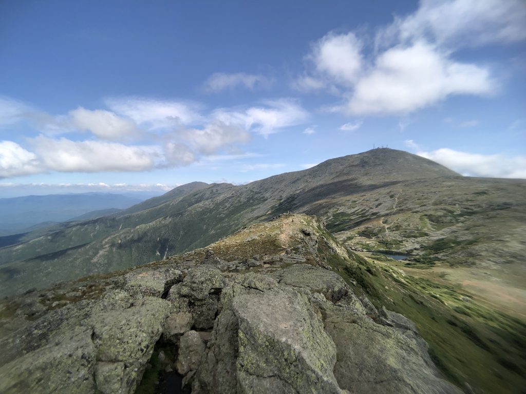
After visiting the snack bar, it was back down the other side of Mount Washington to see more of the Presidentials. From the top of mountain, the AT follows the Gulfside Trail which traverses near the summits of Mount Clay, Mount Jefferson, and Mount Adams before summitting Mount Madison.
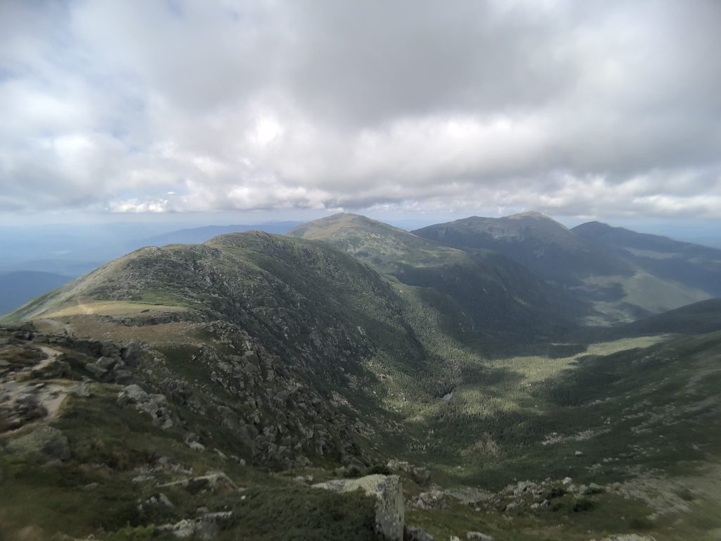
Presidentials: (Left to Right) Mount Clay, Mount Jefferson, Mount Adams, and Mount Madison, viewed from the slopes of Mount Washington
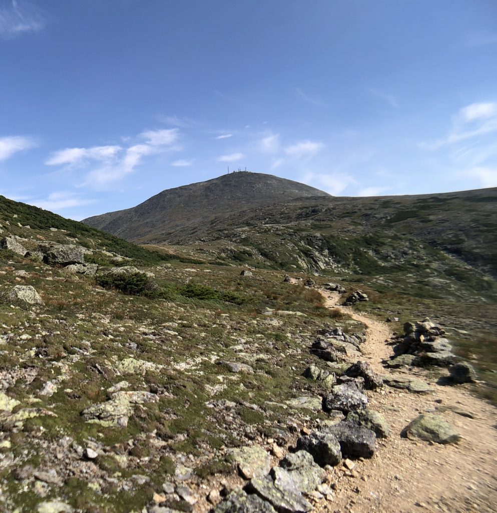
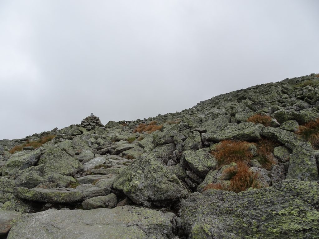
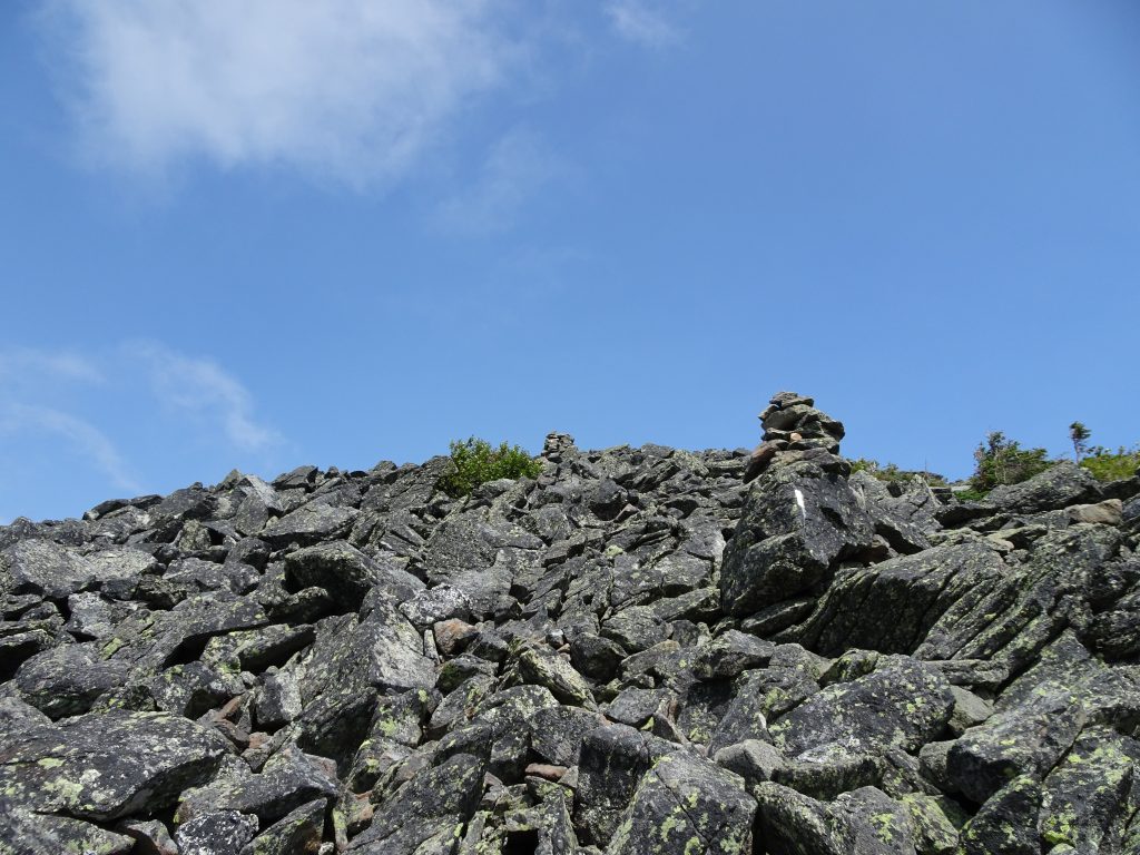
Most of my time on the Gulfside Trail was spent hopping rock to rock. All the trails above the tree line are marked with cairns to aid navigation. Instead of following a set path, hikers deadhead from cairn to cairn across the boulder field.
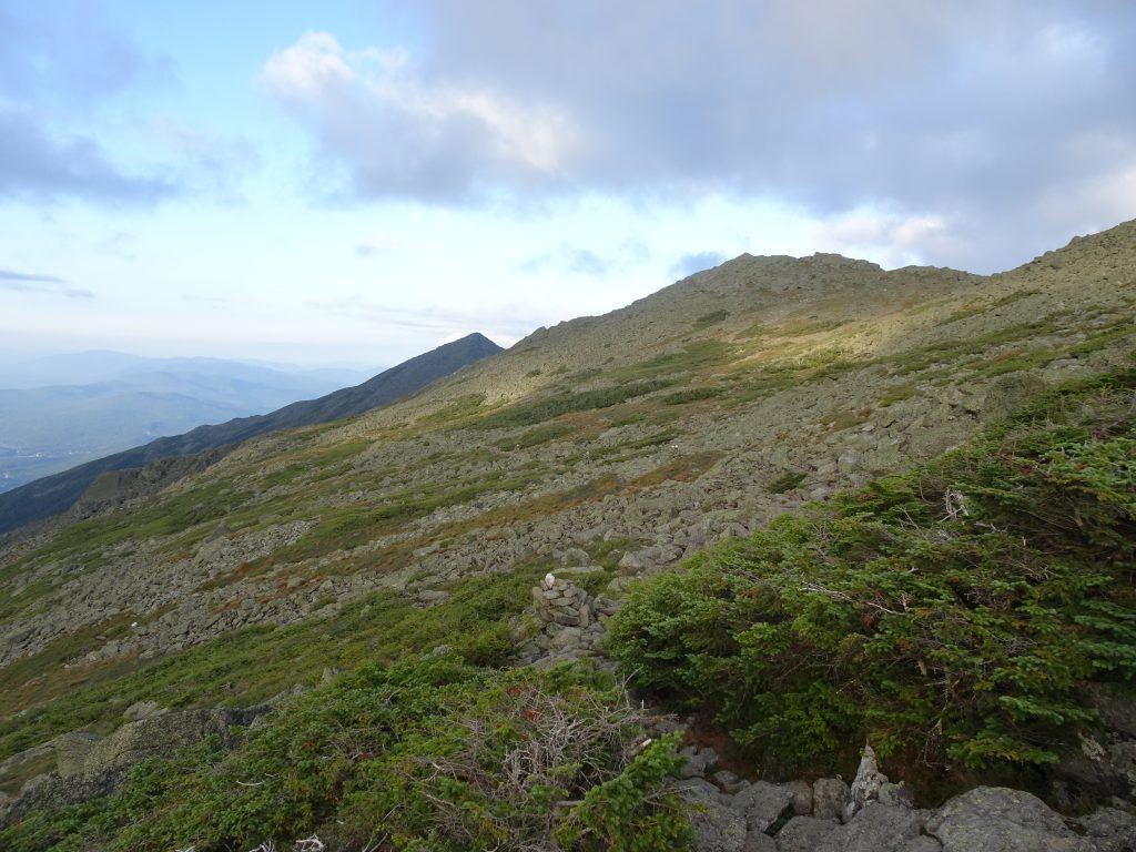
Traversing the mountain flank, Mount Madison in the far distance
On the slopes of Mount Madison
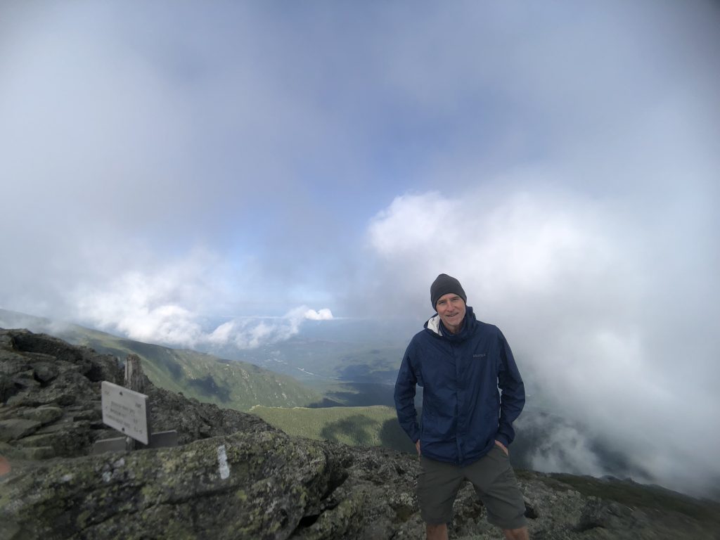
On top of Mount Madison
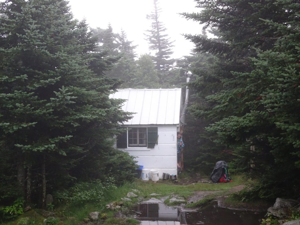
When it comes to hiking in New Hampshire, the Appalachian Mountain Club (or AMC), seems to run the show. Founded in 1876, they claim to be the America’s oldest nonprofit conservation and recreation organization. The AMC runs full-service “huts” in the Whites as well as a number of hiker shelters and campsites in the high country. The huts have a rich history. Their first hut was constructed in 1888 in the saddle between Mount Adams and Mount Madison. A modern “Madison Hut” sits there today.
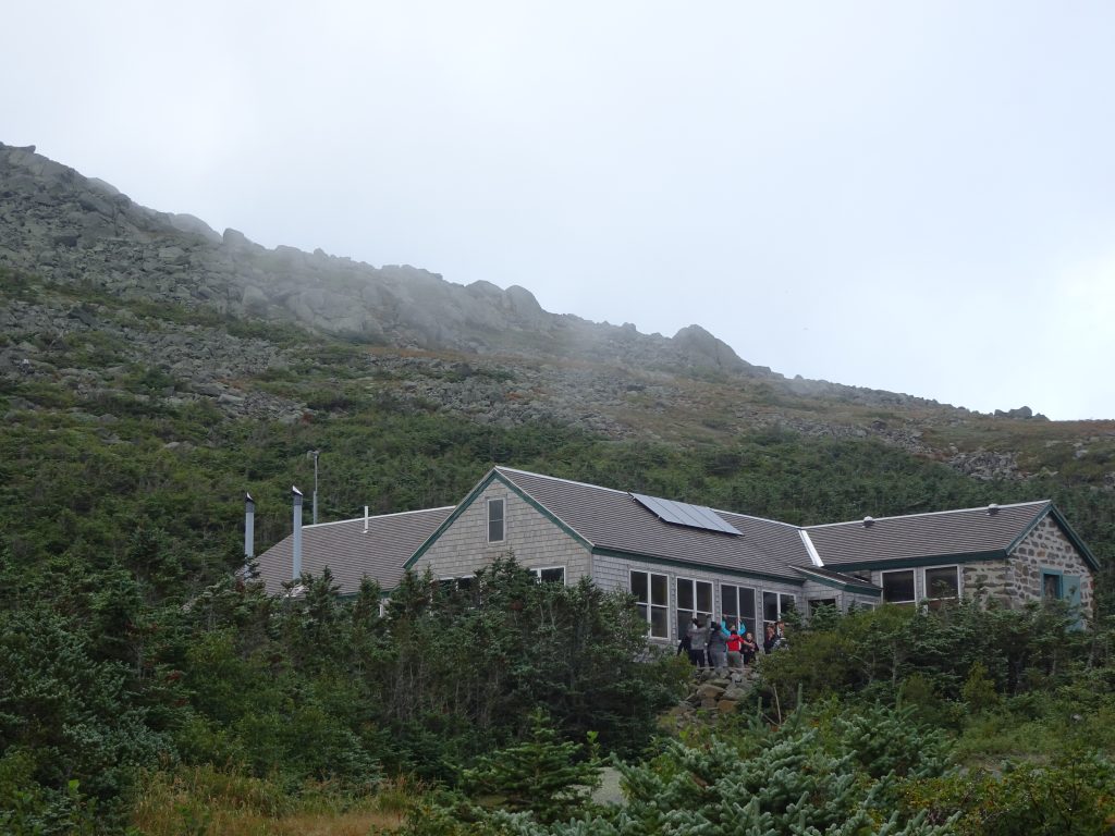
Modern day Madison Hut
Madison Hut – At the foot of the mountain that gives it its name
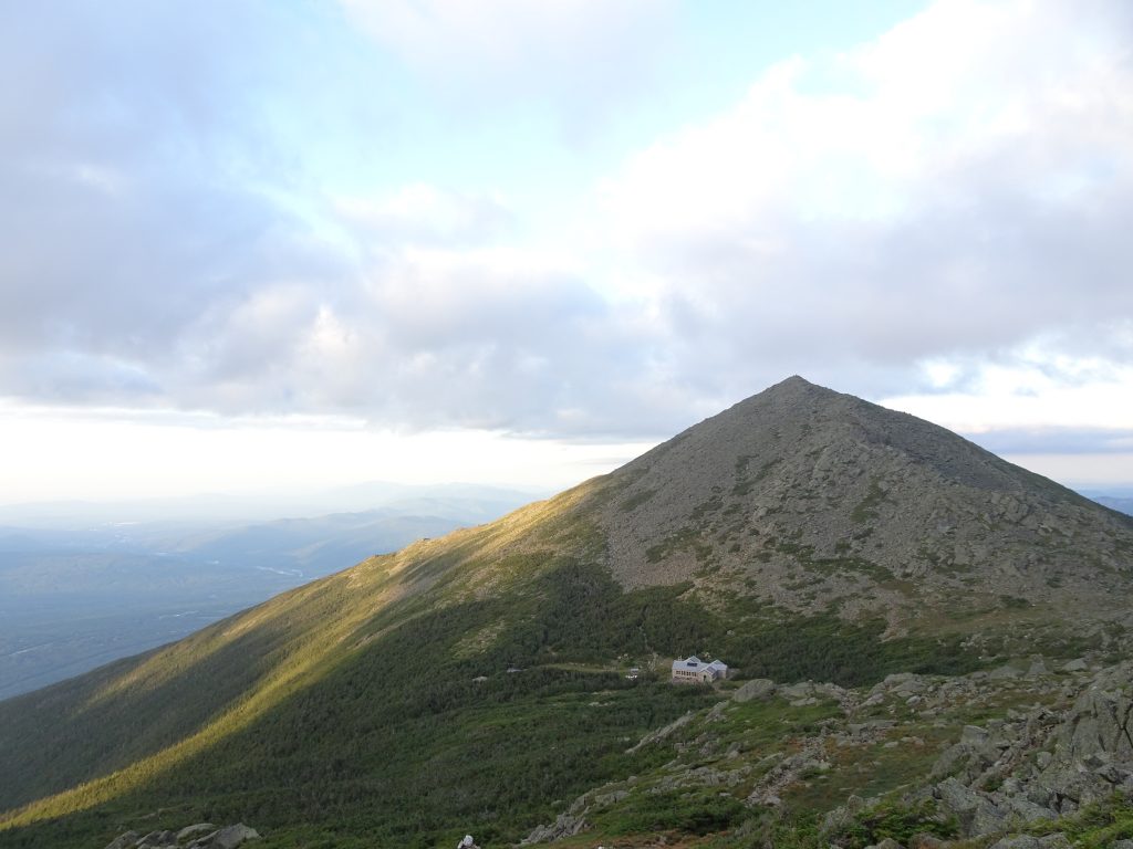
In 1915, the “Lake of the Clouds Hut” was constructed below Mount Washington. Since rebuilt, this is now the largest and most popular hut. Today, there is a system of eight huts, making it possible to hike large sections of the Whites while carrying only a day pack.
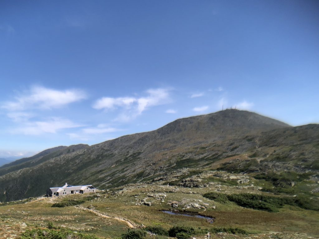
Lake of the Clouds Hut below the summit of Mount Washington
At a hut, for $139 a night, you get a bunk in which to sleep plus breakfast and dinner. Non-perishable supplies for the huts are dropped in by helicopter while perishable food must is packed in. This fact, along with “location, location, location”, probably explains the lofty price.
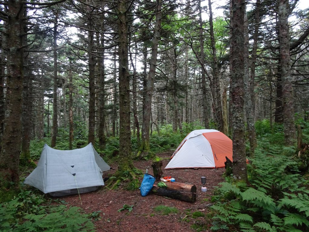
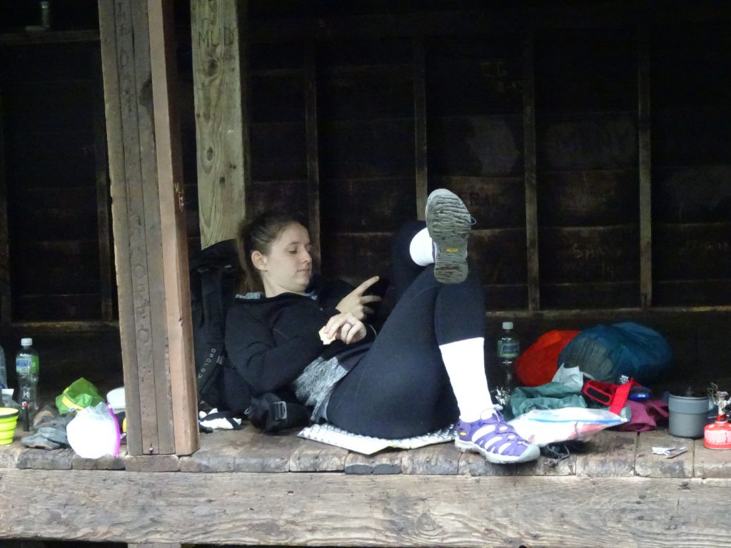
Thru hikers have the option to do “work-for-stay” where in return for a couple of hours of chores they get to eat for free and sleep on the dining room floor (after the paying customers have vacated). This didn’t seem like a great value proposition, so I instead stayed at the AMC tent sites or shelters.
The AMC charges thru hikers $5 per night to stay at their tent sites or shelters. Some thru hikers gripe about the charge, but I thought it was a good deal. Their shelters are top notch, their privies are clean, and they even provide wooden platforms on which to pitch you tent. The organization is nonprofit and some of money is used to fund trail maintenance. While the trails in the Whites were difficult, I found them to be impeccably maintained.
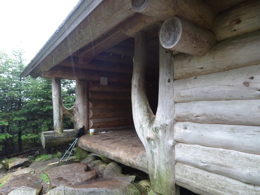
AMC Shelter – Check out the craftsmanship
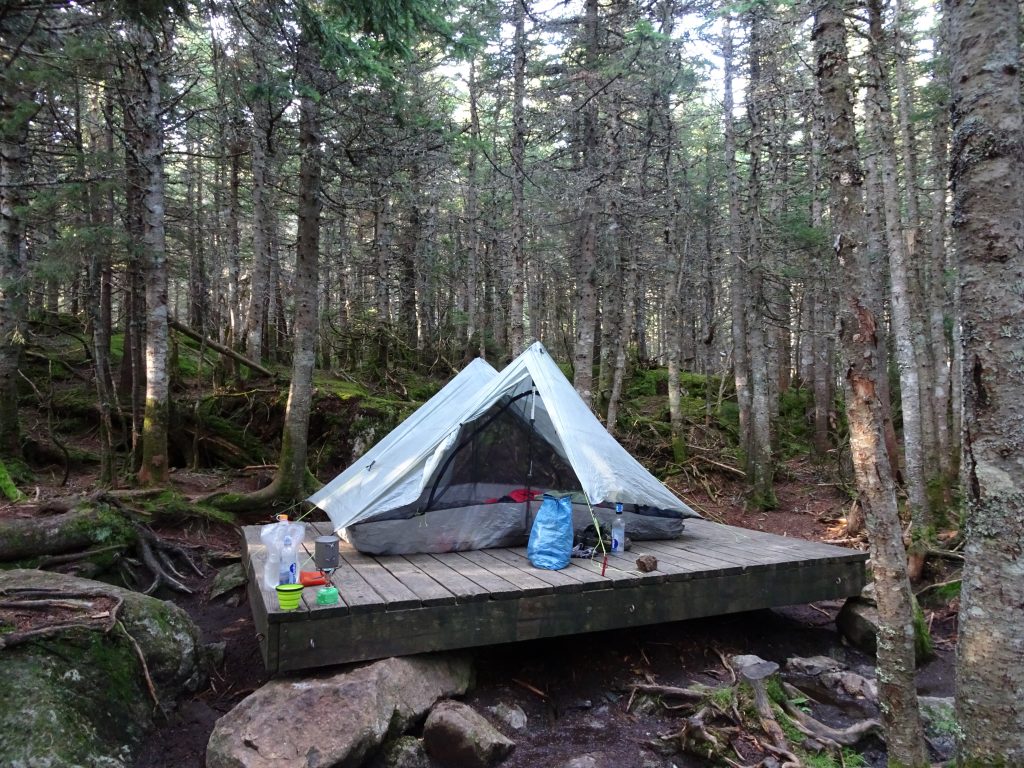
Living large on my wooden tent platform
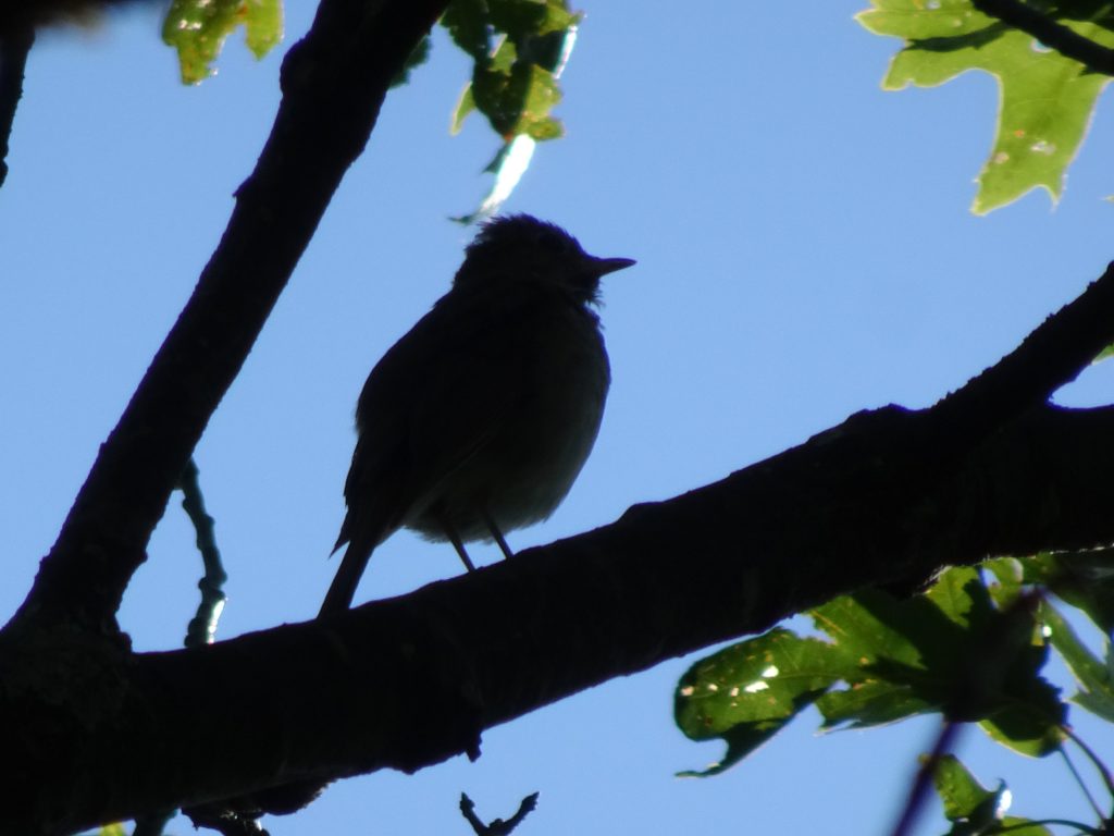
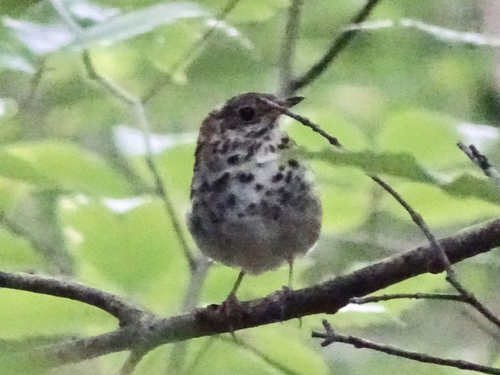
I have been having good success with my birding in the New England States, but was having trouble identifying a couple of birds I had photographed in Vermont. My son, Sam told me not to worry, text the photos to his wife, Lauren, and she would have a crack at it. It turns out that Lauren was also stumped, so she called in the heavy hitters. The ever-resourceful Lauren Coons emailed Project Feederwatch at Cornell University, who came back with the ID. Here are my Ivy League-class birds.
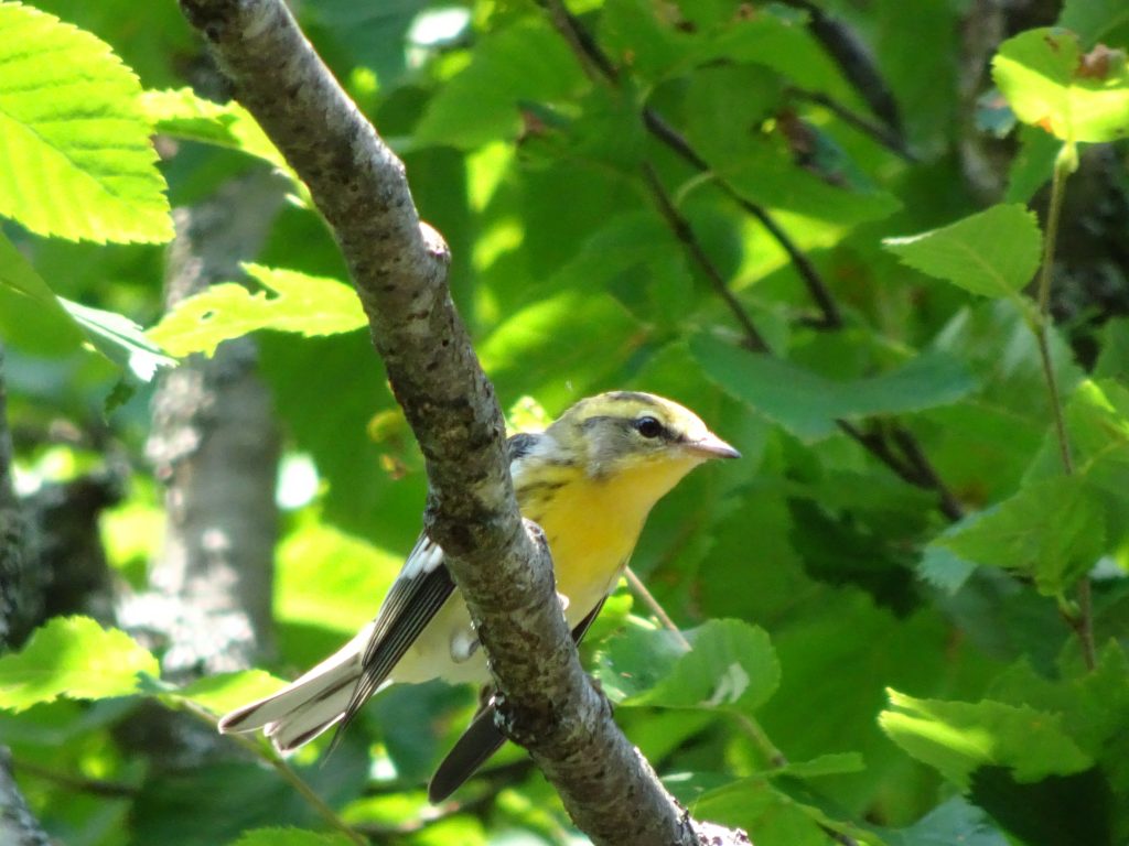
Blackburnian Warbler (female/immature)
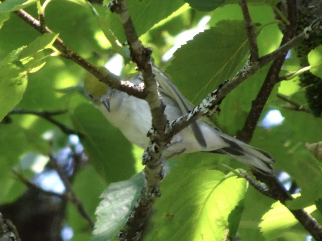
Chestnut-sided (female, non-breeding or immature)
The other day, I was lucky enough to get pics of a partridge in a pear tree. To be precise, it is a Spruce Grouse in a balsam fir. The Spruce Grouse is distinguished by having the red eyebrow.
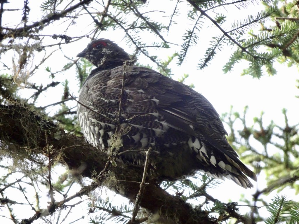
Spruce Grouse
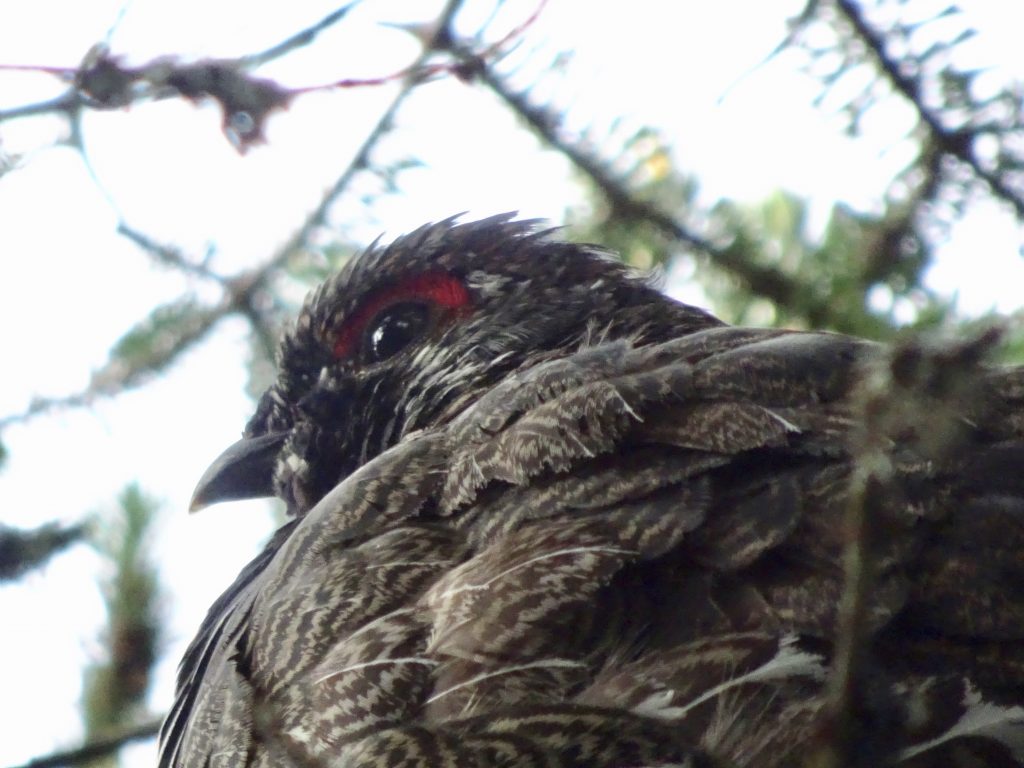
Red eyebrow – Distinguishing characteristic of the Spruce Grouse
I had no trouble identifying this White-throated Sparrow enjoying a bird bath in a puddle on top of Mount Moosilauke. There was a picture of the bird on a wall plaque in one of the huts.
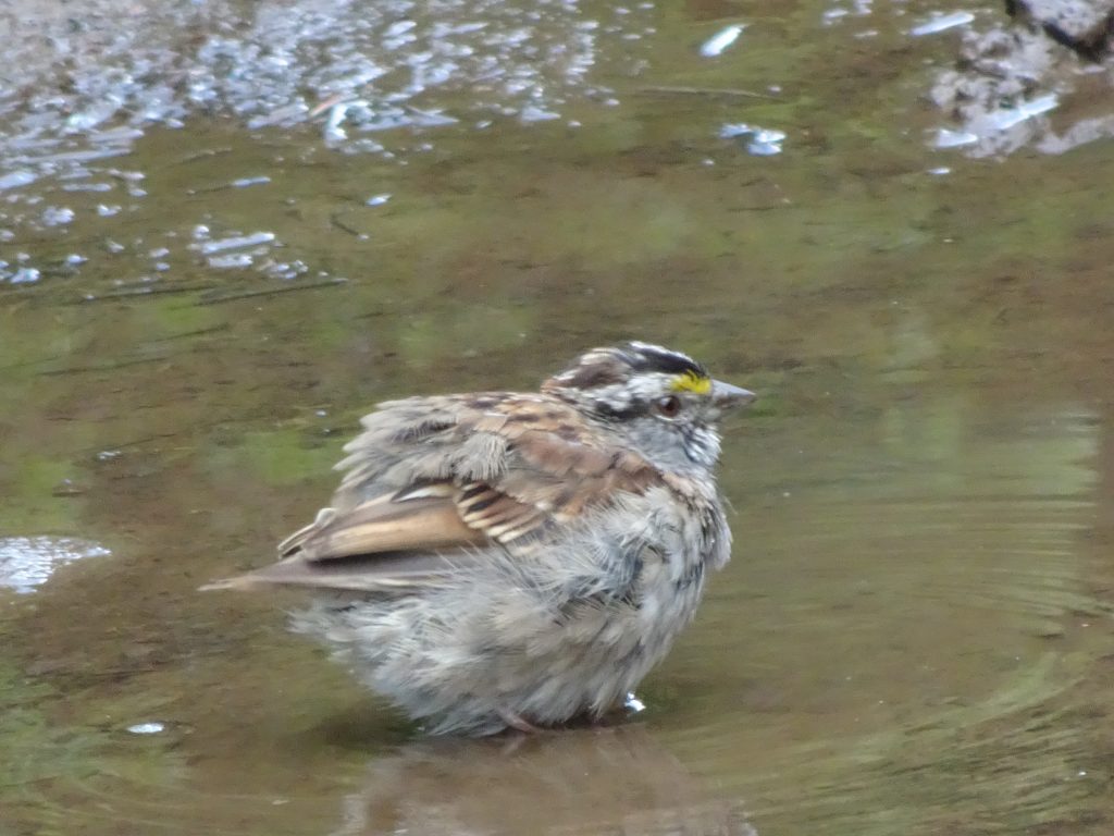
White-throated Sparrow
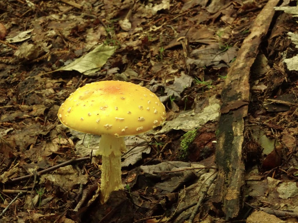
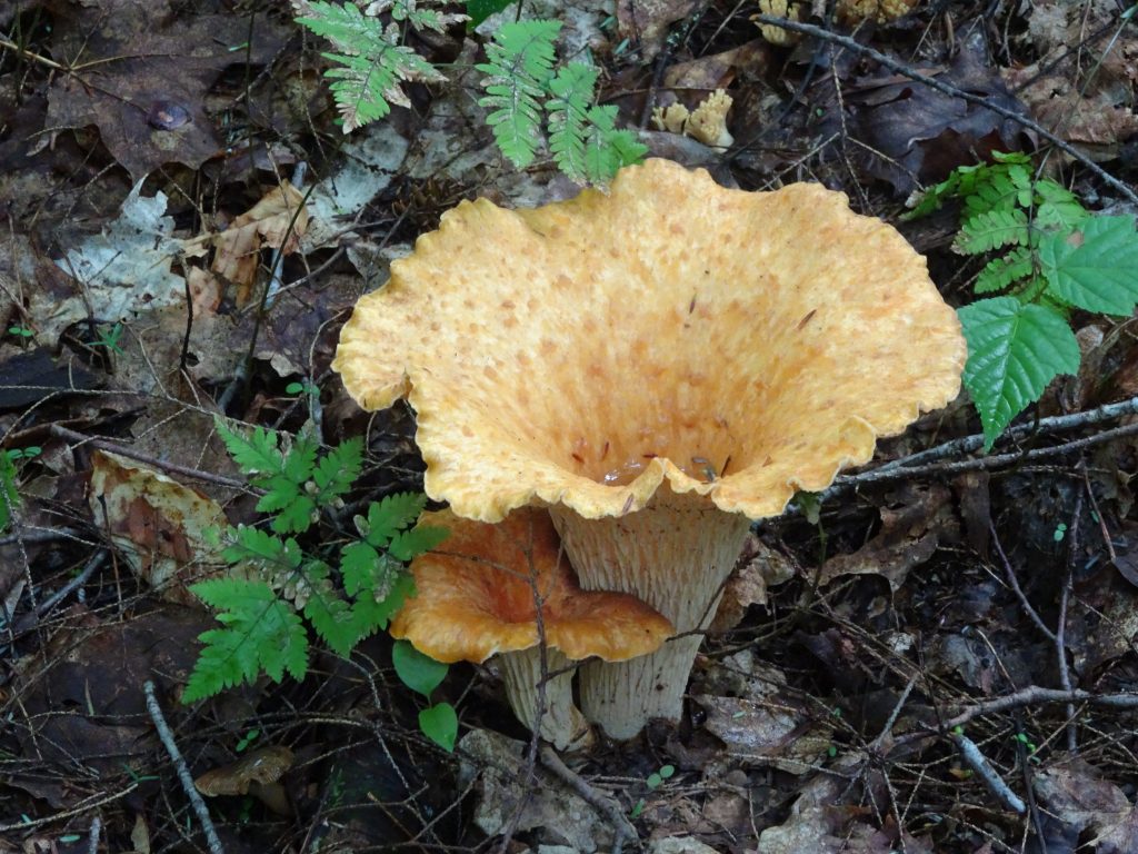
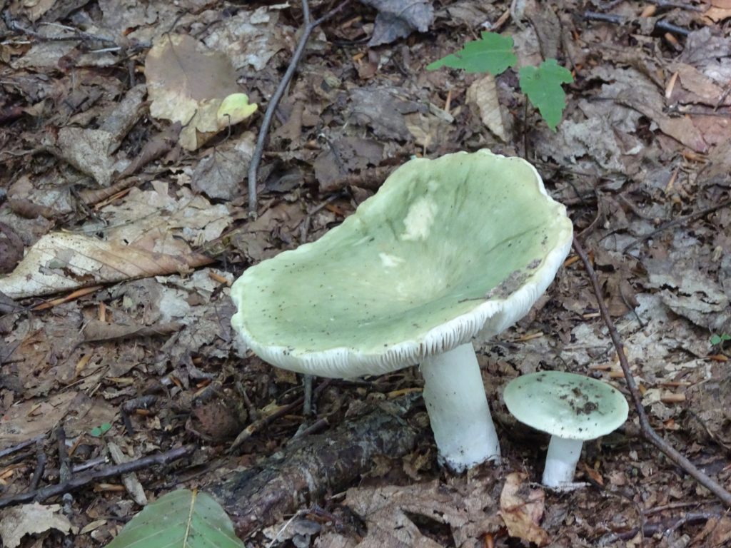
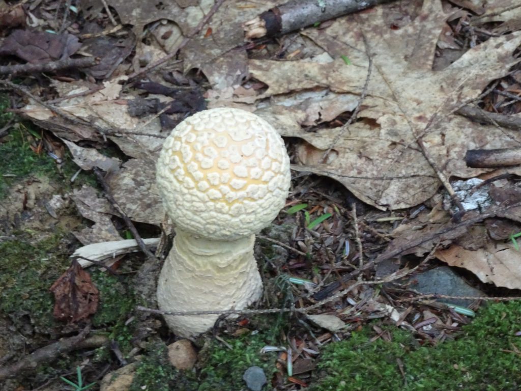
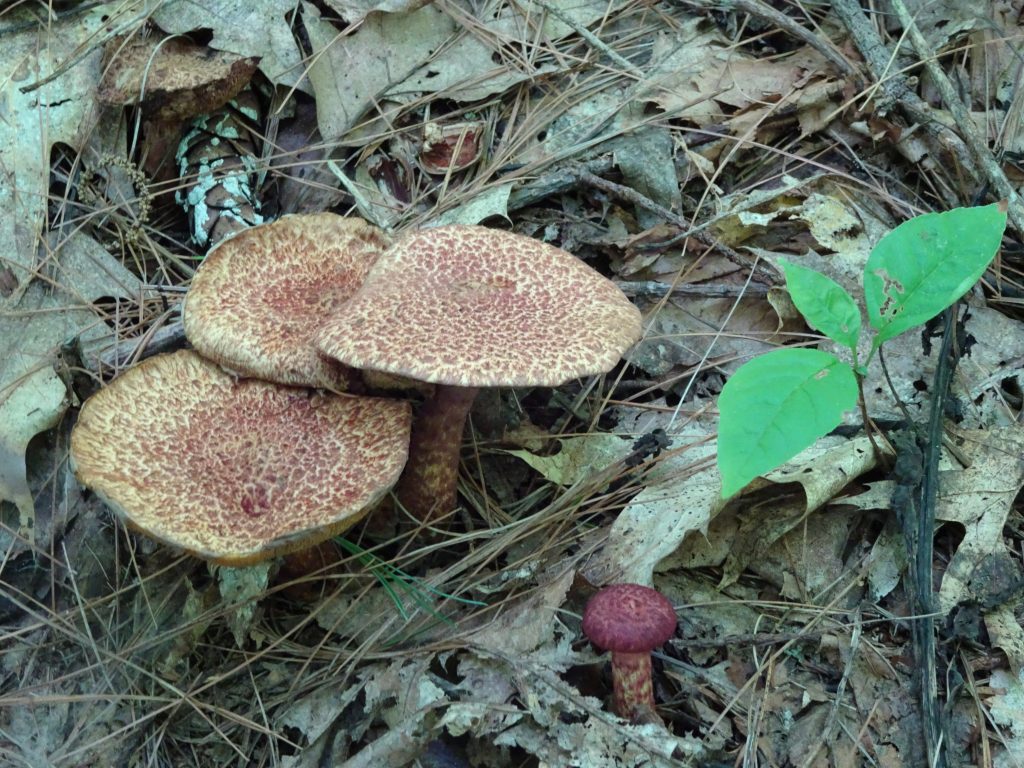
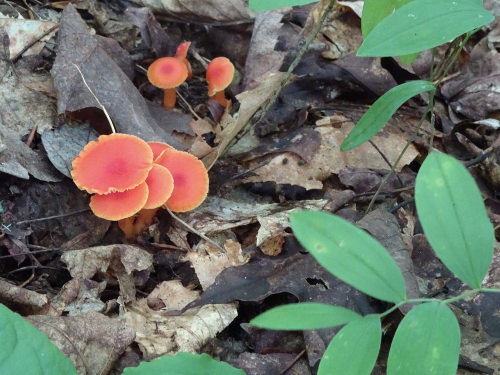
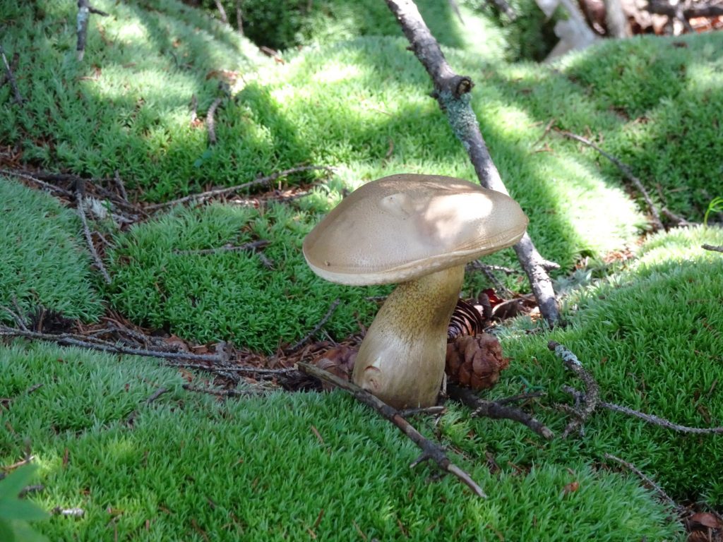
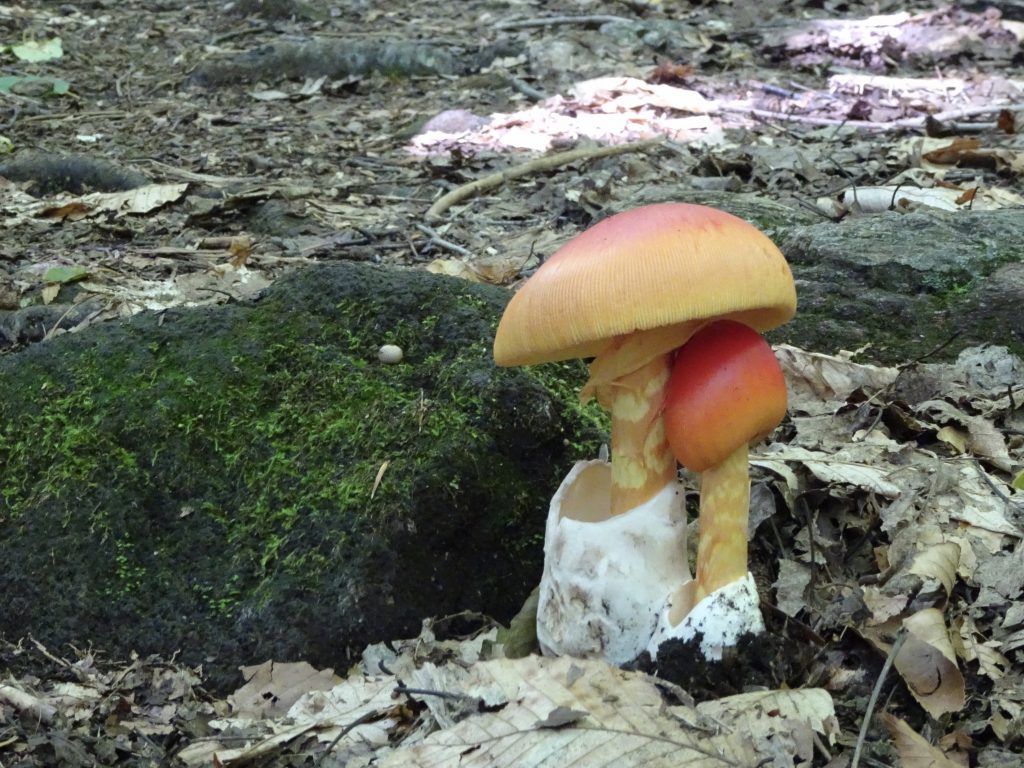
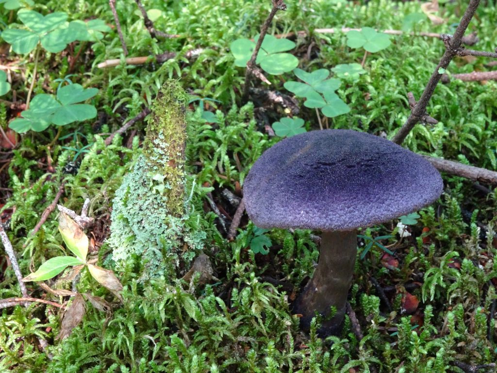
I continue to see great mushrooms and have made some additions to my mushroom gallery. Here is a dark purple mushroom that I found to be really pretty.
I can always tell I am the first one down the trail in the morning because I get a face full of spider webs. One morning I can upon this fully-constructed web, right in the middle of the trail, obviously having been constructed overnight! It has always been a mystery to me how they set out the guy lines.
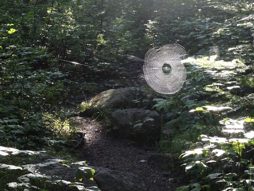
Spider web across the trail
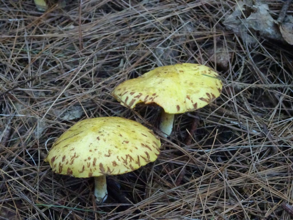
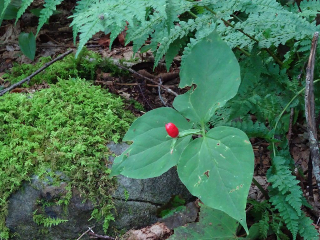
Other flora and fauna …
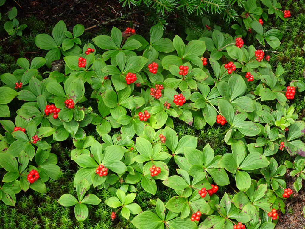
Canadian Bunchberry
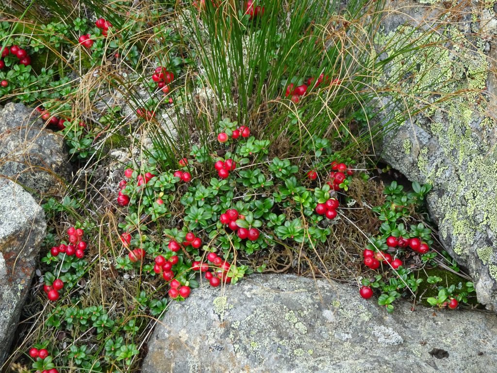
Mountain Cranberry
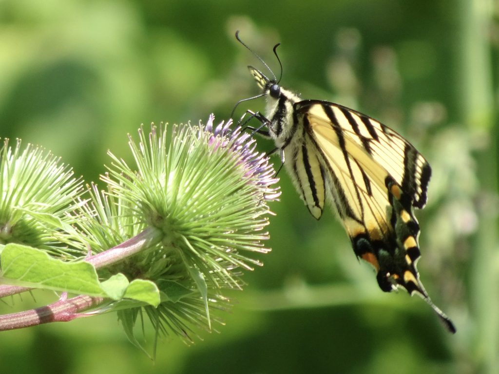
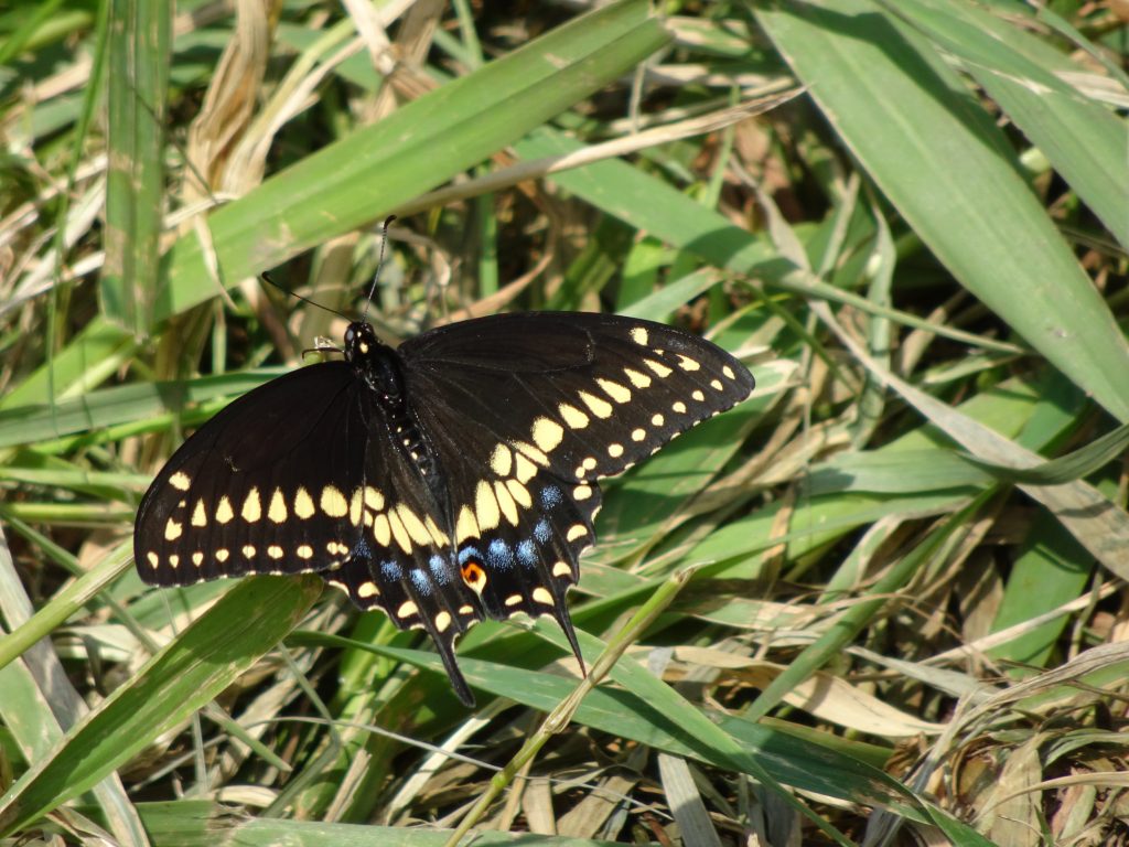
Tiger Swallowtail Butterfly feeding on Burdock
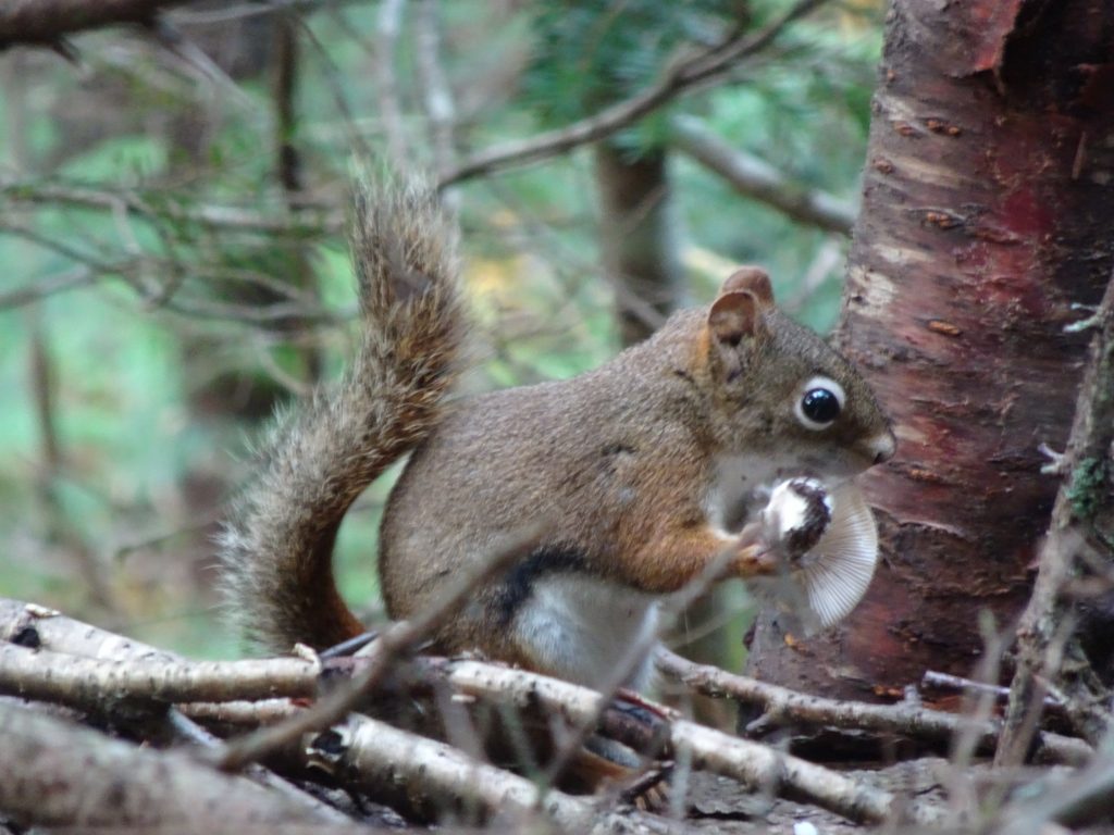
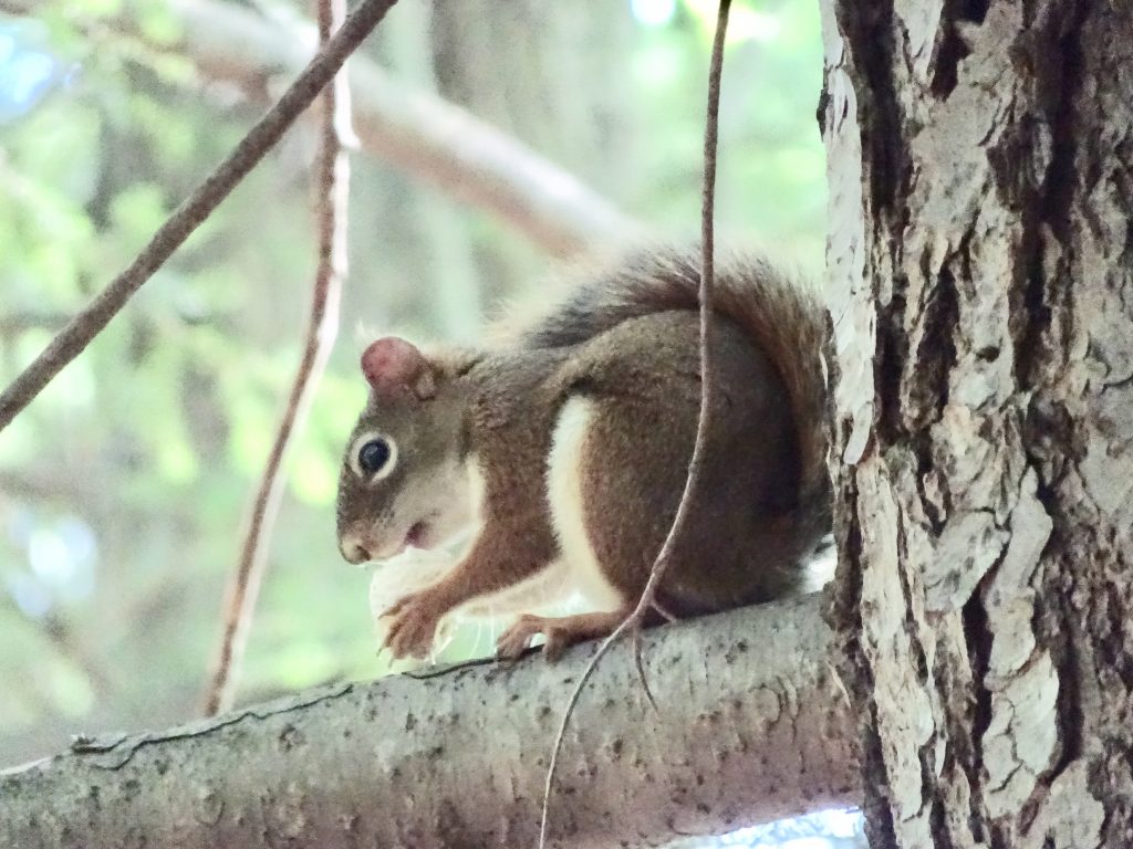
Red Squirrel snacking on a mushroom
If you’d like to receive an email when a new post is up on the blog, click the email icon on the bottom of the page to subscribe. Thanks for following!